25931 Burrsville Rd Denton, MD 21629
Estimated Value: $475,000 - $862,000
--
Bed
1
Bath
4,320
Sq Ft
$147/Sq Ft
Est. Value
About This Home
This home is located at 25931 Burrsville Rd, Denton, MD 21629 and is currently estimated at $637,054, approximately $147 per square foot. 25931 Burrsville Rd is a home located in Caroline County with nearby schools including Denton Elementary School, Lockerman Middle School, and North Caroline High School.
Ownership History
Date
Name
Owned For
Owner Type
Purchase Details
Closed on
May 18, 2022
Sold by
Brubaker Jr William R
Bought by
Denton Church Of The Nazarene Of The Washingt
Current Estimated Value
Purchase Details
Closed on
Sep 2, 1994
Sold by
Brubaker William R
Bought by
Winiarski Wayne L
Purchase Details
Closed on
Dec 17, 1990
Sold by
Carroll Lovie
Bought by
Brubaker William R
Create a Home Valuation Report for This Property
The Home Valuation Report is an in-depth analysis detailing your home's value as well as a comparison with similar homes in the area
Home Values in the Area
Average Home Value in this Area
Purchase History
| Date | Buyer | Sale Price | Title Company |
|---|---|---|---|
| Denton Church Of The Nazarene Of The Washingt | $175,000 | Eastern Shore Title | |
| Winiarski Wayne L | $41,000 | -- | |
| Brubaker William R | $55,000 | -- |
Source: Public Records
Mortgage History
| Date | Status | Borrower | Loan Amount |
|---|---|---|---|
| Closed | Winiarski Wayne L | -- |
Source: Public Records
Tax History Compared to Growth
Tax History
| Year | Tax Paid | Tax Assessment Tax Assessment Total Assessment is a certain percentage of the fair market value that is determined by local assessors to be the total taxable value of land and additions on the property. | Land | Improvement |
|---|---|---|---|---|
| 2025 | $4,487 | $439,400 | $68,200 | $371,200 |
| 2024 | $4,487 | $414,567 | $0 | $0 |
| 2023 | $4,256 | $389,733 | $0 | $0 |
| 2022 | $3,945 | $364,900 | $68,200 | $296,700 |
| 2021 | $7,587 | $341,900 | $0 | $0 |
| 2020 | $2,928 | $318,900 | $0 | $0 |
| 2019 | $2,790 | $295,900 | $63,200 | $232,700 |
| 2018 | $3,191 | $295,900 | $63,200 | $232,700 |
| 2017 | $3,191 | $295,900 | $0 | $0 |
| 2016 | -- | $298,700 | $0 | $0 |
| 2015 | $2,229 | $273,767 | $0 | $0 |
| 2014 | $2,229 | $248,833 | $0 | $0 |
Source: Public Records
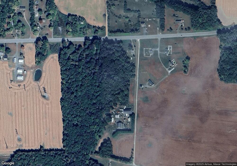
Map
Nearby Homes
- 1612 Cattail Commons Way
- 1111 Daylily Ln
- 1233 Painted Fern Rd
- 245 Briarwood Cir
- 1111 Ruddy Duck Ct
- 1626 Blue Heron Dr
- 25607 Garey Rd
- 529 N 6th St
- 11146 Branch Ct
- 1403 Blue Heron Dr
- 1202 Blue Heron Dr
- 25946 Garey Rd
- 25211 Adams Landing Rd
- 1105 Market St
- 1005 Market St
- 501 Lincoln St
- 207 Gay St
- 515 Franklin St
- 25291 Calvert Dr
- 4 S 1st St
- 0 Red Maple Dr Unit CM10112397
- 25933 Burrsville Rd
- 25929 Burrsville Rd
- 10848 Red Maple Dr
- 25841 Burrsville Rd
- 1 Red Maple Dr
- 10823 Red Maple Dr
- 25852 Burrsville Rd
- 10612 Garland Rd
- 10839 Red Maple Dr
- 25938 Burrsville Rd
- 25759 Burrsville Rd
- 25986 Burrsville Rd
- 25775 Burrsville Rd
- 10925 Miller Rd
- 10919 Miller Rd
- 25786 Burrsville Rd
- 25770 Burrsville Rd
- 25810 Burrsville Rd
- 26033 Burrsville Rd