2595 Bertrand Ave Lake Charles, LA 70611
Estimated Value: $90,000
3
Beds
2
Baths
980
Sq Ft
$92/Sq Ft
Est. Value
About This Home
This home is located at 2595 Bertrand Ave, Lake Charles, LA 70611 and is currently estimated at $90,000, approximately $91 per square foot. 2595 Bertrand Ave is a home located in Calcasieu Parish with nearby schools including Graham & Parks Alternative Public School, Gillis Elementary School, and Putnam Avenue Upper School.
Ownership History
Date
Name
Owned For
Owner Type
Purchase Details
Closed on
Jun 29, 2022
Sold by
Parish Of Calcasieu
Bought by
Minic Llc
Current Estimated Value
Purchase Details
Closed on
Jun 24, 2013
Sold by
Coleman Dustin L and Parish Of Calcasieu
Bought by
Jeta Enterprises Llc
Purchase Details
Closed on
Jul 11, 2006
Sold by
Mcdaniel Jeffery Lane and Mcdaniel Shirley Faye
Bought by
Coleman Dustin L
Purchase Details
Closed on
Feb 17, 2005
Sold by
Eaglin Floyd Joseph and Eaglin Athurine Lewis
Bought by
Mcdaniel Jeffrey Lane and Mcdaniel Shirley Faye Free
Create a Home Valuation Report for This Property
The Home Valuation Report is an in-depth analysis detailing your home's value as well as a comparison with similar homes in the area
Home Values in the Area
Average Home Value in this Area
Purchase History
| Date | Buyer | Sale Price | Title Company |
|---|---|---|---|
| Minic Llc | $470 | None Listed On Document | |
| Jeta Enterprises Llc | $226 | None Available | |
| Coleman Dustin L | -- | None Available | |
| Mcdaniel Jeffrey Lane | $20,000 | None Available |
Source: Public Records
Tax History Compared to Growth
Tax History
| Year | Tax Paid | Tax Assessment Tax Assessment Total Assessment is a certain percentage of the fair market value that is determined by local assessors to be the total taxable value of land and additions on the property. | Land | Improvement |
|---|---|---|---|---|
| 2024 | $98 | $900 | $900 | $0 |
| 2023 | $97 | $900 | $900 | $0 |
| 2022 | $137 | $1,300 | $900 | $400 |
| 2021 | $144 | $1,300 | $900 | $400 |
| 2020 | $133 | $1,220 | $860 | $360 |
| 2019 | $134 | $1,230 | $830 | $400 |
| 2018 | $135 | $1,230 | $830 | $400 |
| 2017 | $136 | $1,230 | $830 | $400 |
| 2016 | $134 | $1,230 | $830 | $400 |
| 2015 | $137 | $1,230 | $830 | $400 |
Source: Public Records
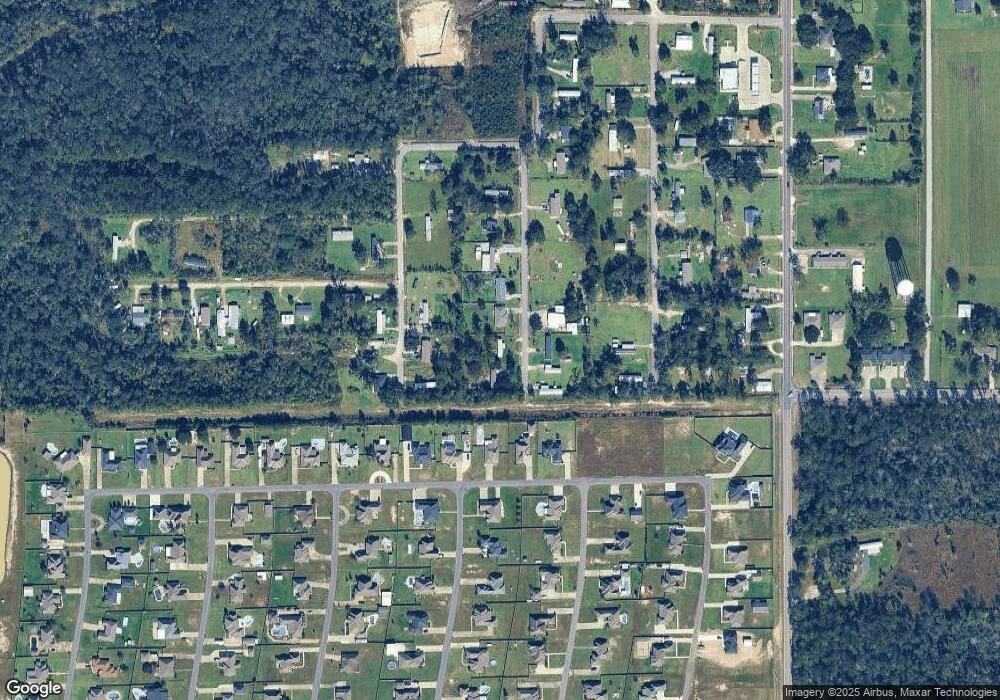
Map
Nearby Homes
- 2422 Howard Dr
- 2419 Tay
- 0 Howard Dr Unit SWL25001945
- 2319 Gracie Dr
- 1734 N Gabriel Square
- 0 N Perkins Ferry Rd Unit SWL25003661
- 0 W Eagle's Nest Dr Unit SWL22005696
- 1325 S Robinwood Dr
- 1800 Poeyfarre Dr
- 1278 E Eagles Nest Dr
- Azalea IV G Plan at Orleans Run
- Birch III G Plan at Orleans Run
- Dogwood IV G Plan at Orleans Run
- Falkner III G Plan at Orleans Run
- Trillium IV H Plan at Orleans Run
- Azalea IV H Plan at Orleans Run
- Birch III H Plan at Orleans Run
- Lasalle V G Plan at Orleans Run
- Roses V H Plan at Orleans Run
- Roses V G Plan at Orleans Run
- 2611 Bertrand Ave
- 2579 Bertrand Ave
- 2483 Ribbeck Ave
- 2580 Bertrand Ave
- 2516 Ribbeck Ave
- 2627 Bertrand Ave
- 2588 Bertrand Ave
- 2484 Ribbeck Ave
- 2610 Bertrand Ave
- 1838 N Coffey Pines Rd
- 2641 Bertrand Ave
- 1846 N Coffey Pines Rd
- 2485 Ribbeck Ave
- 2493 Ribbeck Ave
- 1858 N Coffey Pines Rd
- 2511 Ribbeck Ave
- 1826 N Coffey Pines Rd
- 2657 Bertrand Ave
- 0 Ribbeck Ave Unit 128894
- 0 Ribbeck Ave Unit 133663