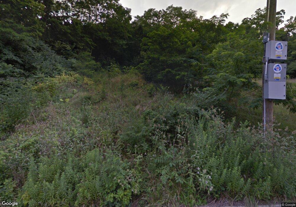
2595 Casper St Cincinnati, OH 45225
North Fairmount NeighborhoodEstimated Value: $56,000 - $209,000
Studio
--
Bath
--
Sq Ft
5.5
Acres
About This Home
This home is located at 2595 Casper St, Cincinnati, OH 45225 and is currently estimated at $117,767. 2595 Casper St is a home located in Hamilton County with nearby schools including Ethel M. Taylor Academy, Robert A. Taft Information Technology High School, and Western Hills High School.
Ownership History
Date
Name
Owned For
Owner Type
Purchase Details
Closed on
Apr 3, 2019
Sold by
Hamilton County Land Reutilization Corp
Bought by
Berlin Jason M
Current Estimated Value
Purchase Details
Closed on
Jan 28, 2019
Sold by
County Of Hamilton
Bought by
Hamilton County Land Reutilization Corpo
Purchase Details
Closed on
Oct 29, 1996
Sold by
Jordan Victoria J and Byndon Victoria J
Bought by
Murphy Sandra and Murphy Andrei
Home Financials for this Owner
Home Financials are based on the most recent Mortgage that was taken out on this home.
Original Mortgage
$33,600
Interest Rate
8.23%
Purchase Details
Closed on
Sep 25, 1995
Sold by
Byndon Jordan Victoria J and Jordan Benjamin
Bought by
Gaines Sandra
Create a Home Valuation Report for This Property
The Home Valuation Report is an in-depth analysis detailing your home's value as well as a comparison with similar homes in the area
Home Values in the Area
Average Home Value in this Area
Purchase History
| Date | Buyer | Sale Price | Title Company |
|---|---|---|---|
| Berlin Jason M | -- | None Available | |
| Hamilton County Land Reutilization Corpo | -- | None Available | |
| Murphy Sandra | $32,900 | -- | |
| Gaines Sandra | $32,900 | -- |
Source: Public Records
Mortgage History
| Date | Status | Borrower | Loan Amount |
|---|---|---|---|
| Previous Owner | Murphy Sandra | $33,600 |
Source: Public Records
Tax History Compared to Growth
Tax History
| Year | Tax Paid | Tax Assessment Tax Assessment Total Assessment is a certain percentage of the fair market value that is determined by local assessors to be the total taxable value of land and additions on the property. | Land | Improvement |
|---|---|---|---|---|
| 2024 | $91 | $928 | $928 | -- |
| 2023 | $91 | $928 | $928 | $0 |
| 2022 | $98 | $931 | $931 | $0 |
| 2021 | $86 | $931 | $931 | $0 |
| 2020 | $87 | $931 | $931 | $0 |
| 2019 | $23 | $847 | $847 | $0 |
| 2018 | $88 | $847 | $847 | $0 |
| 2017 | $83 | $847 | $847 | $0 |
| 2016 | $99 | $1,040 | $1,040 | $0 |
| 2015 | $562 | $1,040 | $1,040 | $0 |
| 2014 | $601 | $1,040 | $1,040 | $0 |
| 2013 | $639 | $1,029 | $1,029 | $0 |
Source: Public Records
Map
Nearby Homes
- 1854 Carll St
- 1808 Carll St
- 1797 Denham St
- 1781 Baltimore Ave
- 2594 Seegar Ave
- 1770 Carll St
- 1965 Baltimore Ave
- 1917 Brinkmeier Ave
- 2521 Seegar Ave
- 1854 Knox St
- 1977 Harrison Ave
- 2568 Trevor Place
- 2009 Harrison Ave
- 2455 Saturn St
- 2453 Saturn St
- 2060 Bickel Ave
- 1875 Biegler St
- 1674 Baltimore Ave
- 2063 Harrison Ave
- 1646 Pulte St
- 2592 Casper St
- 2563 Saint Leo Place
- 2561 Saint Leo Place
- 2569 Saint Leo Place
- 1857 Baltimore Ave
- 1861 Baltimore Ave
- 1869 Baltimore Ave
- 1865 Baltimore Ave
- 13 St Leo Place
- 3 St Leo Place
- 4 St Leo Place
- 5 St Leo Place
- 6 St Leo Place
- 2551 Saint Leo Place
- 1877 Baltimore Ave
- 2562 Saint Leo Place
- 1879 Baltimore Ave
- 1853 Carll St
- 2570 Saint Leo Place
- 2576 Saint Leo Place
