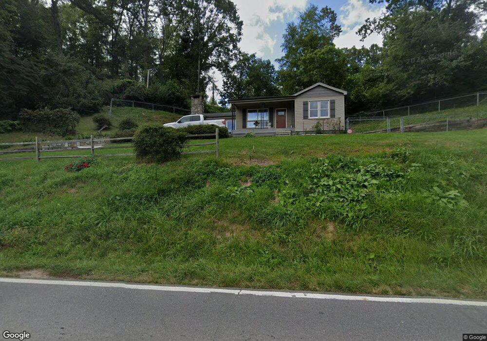
2595 Newfound Rd Canton, NC 28716
Estimated Value: $255,000 - $364,000
3
Beds
1
Bath
1,307
Sq Ft
$242/Sq Ft
Est. Value
About This Home
This home is located at 2595 Newfound Rd, Canton, NC 28716 and is currently estimated at $315,870, approximately $241 per square foot. 2595 Newfound Rd is a home located in Haywood County with nearby schools including North Canton Elementary School, Canton Middle, and Pisgah High School.
Ownership History
Date
Name
Owned For
Owner Type
Purchase Details
Closed on
Oct 28, 2016
Sold by
Biddix Jamie S and Biddix Johnny Edwin
Bought by
Biddix Jamie S
Current Estimated Value
Home Financials for this Owner
Home Financials are based on the most recent Mortgage that was taken out on this home.
Original Mortgage
$114,300
Interest Rate
3.48%
Mortgage Type
New Conventional
Purchase Details
Closed on
Jun 21, 2005
Sold by
Biddix Jamie S and Scott Jamie Lillian
Bought by
Biddix Jamie S and Biddix Johnny Edwin
Home Financials for this Owner
Home Financials are based on the most recent Mortgage that was taken out on this home.
Original Mortgage
$31,000
Interest Rate
5.7%
Mortgage Type
Credit Line Revolving
Create a Home Valuation Report for This Property
The Home Valuation Report is an in-depth analysis detailing your home's value as well as a comparison with similar homes in the area
Home Values in the Area
Average Home Value in this Area
Purchase History
| Date | Buyer | Sale Price | Title Company |
|---|---|---|---|
| Biddix Jamie S | -- | Attorney | |
| Biddix Jamie S | -- | None Available |
Source: Public Records
Mortgage History
| Date | Status | Borrower | Loan Amount |
|---|---|---|---|
| Closed | Biddix Jamie S | $114,300 | |
| Closed | Biddix Jamie S | $31,000 | |
| Closed | Biddix Jamie S | $57,000 |
Source: Public Records
Tax History
| Year | Tax Paid | Tax Assessment Tax Assessment Total Assessment is a certain percentage of the fair market value that is determined by local assessors to be the total taxable value of land and additions on the property. | Land | Improvement |
|---|---|---|---|---|
| 2025 | -- | $153,600 | $28,700 | $124,900 |
| 2024 | $11 | $153,600 | $28,700 | $124,900 |
| 2023 | $1,088 | $153,600 | $28,700 | $124,900 |
| 2022 | $1,088 | $153,600 | $28,700 | $124,900 |
| 2021 | $1,088 | $153,600 | $28,700 | $124,900 |
| 2020 | $898 | $112,800 | $19,200 | $93,600 |
| 2019 | $903 | $112,800 | $19,200 | $93,600 |
| 2018 | $903 | $112,800 | $19,200 | $93,600 |
| 2017 | $903 | $112,800 | $0 | $0 |
| 2016 | $887 | $113,600 | $0 | $0 |
| 2015 | $875 | $113,600 | $0 | $0 |
| 2014 | $775 | $113,600 | $0 | $0 |
Source: Public Records
Map
Nearby Homes
- 492 Scruggs Cir
- 303 Johnson Farm Rd
- 145 Keener Rd
- 672 Porters Ridge
- 331 Silent Forest Dr
- 00 Beaverdam Rd
- 1389 Newfound Rd
- 220 Mountain Spring Ln
- 204 Mountain Spring Ln
- 13 Eastwood Dr
- 22 Mountain Spring Ln
- 00 Carver Cove Rd
- 9999 Hunters Ridge Rd
- 00 Hunters Ridge Rd Unit 62, 63, 64
- 112 Hy Vu Dr
- 761 N Main St
- 1261 Asheville Hwy
- 00 High Rock View Dr
- 999 High Rock View Dr Unit 36
- 000 High Rock View Dr Unit 32
- 61 Mccracken Rd
- 2616 Newfound Rd
- 1151 Scruggs Cir
- 2620 Newfound Rd
- 39 Mccracken Rd
- 2592 Newfound Rd
- 2596 Newfound Rd
- 1156 Scruggs Cir
- 1209 Scruggs Cir
- 1134 Scruggs Cir
- 77 Mccracken Rd
- 1238 Scruggs Cir
- 1222 Scruggs Cir
- 78 Mccracken Rd
- 10 Mccracken Rd
- 54 Mccracken Rd
- 1105 Scruggs Cir
- 161 Pinkie Ln
- 1096 Scruggs Cir
- 2718 Newfound Rd
Your Personal Tour Guide
Ask me questions while you tour the home.