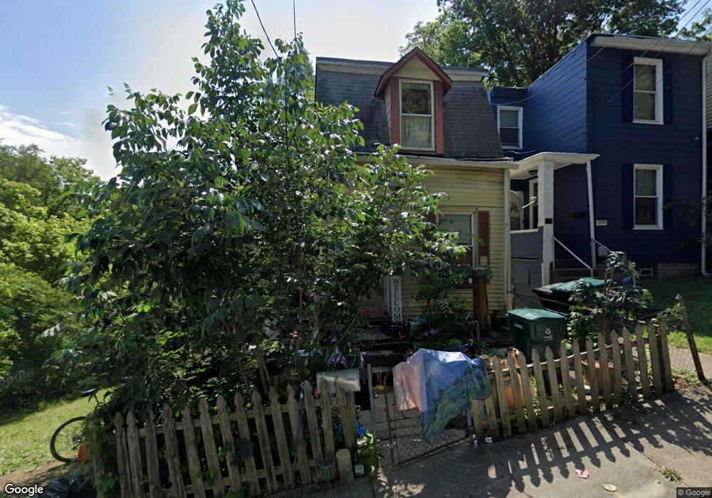
2596 Seegar Ave Cincinnati, OH 45225
North Fairmount NeighborhoodEstimated Value: $60,411 - $88,000
3
Beds
1
Bath
868
Sq Ft
$85/Sq Ft
Est. Value
About This Home
This home is located at 2596 Seegar Ave, Cincinnati, OH 45225 and is currently estimated at $74,103, approximately $85 per square foot. 2596 Seegar Ave is a home located in Hamilton County with nearby schools including Ethel M. Taylor Academy, Robert A. Taft Information Technology High School, and Gilbert A. Dater High School.
Ownership History
Date
Name
Owned For
Owner Type
Purchase Details
Closed on
Oct 20, 2004
Sold by
Bare Daniel M
Bought by
Bare Daniel M
Current Estimated Value
Purchase Details
Closed on
Jan 17, 1997
Sold by
Bare Daniel M
Bought by
Dressman Robert A
Purchase Details
Closed on
Nov 11, 1996
Sold by
Creech Barbara Sue
Bought by
Bane Daniel M
Purchase Details
Closed on
Nov 28, 1994
Sold by
Creech Hiram I and Creech Joean
Bought by
Creech Barbara Sue
Create a Home Valuation Report for This Property
The Home Valuation Report is an in-depth analysis detailing your home's value as well as a comparison with similar homes in the area
Home Values in the Area
Average Home Value in this Area
Purchase History
| Date | Buyer | Sale Price | Title Company |
|---|---|---|---|
| Bare Daniel M | -- | The Main Title Agency Inc | |
| Dressman Robert A | $6,500 | -- | |
| Bane Daniel M | $8,000 | -- | |
| Creech Barbara Sue | -- | -- |
Source: Public Records
Tax History
| Year | Tax Paid | Tax Assessment Tax Assessment Total Assessment is a certain percentage of the fair market value that is determined by local assessors to be the total taxable value of land and additions on the property. | Land | Improvement |
|---|---|---|---|---|
| 2025 | $3,196 | $7,487 | $1,159 | $6,328 |
| 2024 | $454 | $7,487 | $1,159 | $6,328 |
| 2023 | $464 | $7,487 | $1,159 | $6,328 |
| 2022 | $194 | $2,759 | $935 | $1,824 |
| 2021 | $185 | $2,759 | $935 | $1,824 |
| 2020 | $190 | $2,759 | $935 | $1,824 |
| 2019 | $207 | $2,759 | $935 | $1,824 |
| 2018 | $472 | $2,759 | $935 | $1,824 |
| 2017 | $197 | $2,759 | $935 | $1,824 |
| 2016 | $107 | $1,436 | $1,208 | $228 |
| 2015 | $96 | $1,436 | $1,208 | $228 |
| 2014 | $97 | $1,436 | $1,208 | $228 |
| 2013 | $100 | $1,463 | $1,232 | $231 |
Source: Public Records
Map
Nearby Homes
- 1781 Baltimore Ave
- 2594 Seegar Ave
- 1793 Baltimore Ave
- 1797 Denham St
- 1808 Carll St
- 2568 Trevor Place
- 1859 Baltimore Ave
- 1674 Baltimore Ave
- 2658 Linden St
- 2656 Linden St
- 2654 Linden St
- 2652 Linden St
- 2650 Linden St
- 1646 Pulte St
- 1642 Sutter Ave
- 2911 Moosewood Ct
- 1613 Pulte St
- 1607 Pulte St
- 1854 Knox St
- 2564 Linden St
- 2598 Seegar Ave
- 2592 Seegar Ave
- 2590 Seegar Ave
- 1765 Baltimore Ave
- 1773 Baltimore Ave
- 1775 Baltimore Ave
- 2588 Seegar Ave
- 1761 Baltimore Ave
- 1759 Baltimore Ave
- 1783 Baltimore Ave
- 1757 Baltimore Ave
- 2586 Seegar Ave
- 1755 Baltimore Ave
- 1787 Macon St
- 1787 Baltimore Ave
- 2577 Trevor Place
- 1778 Baltimore Ave
- 2593 Trevor Place
- 1780 Baltimore Ave
- 2575 Trevor Place
Your Personal Tour Guide
Ask me questions while you tour the home.