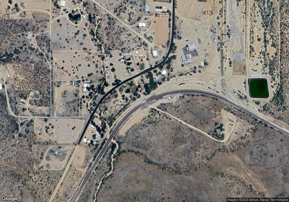
25960 W Old Granthams Rd Bagdad, AZ 86321
Estimated Value: $264,000 - $293,000
--
Bed
2
Baths
1,174
Sq Ft
$234/Sq Ft
Est. Value
About This Home
This home is located at 25960 W Old Granthams Rd, Bagdad, AZ 86321 and is currently estimated at $274,437, approximately $233 per square foot. 25960 W Old Granthams Rd is a home located in Yavapai County with nearby schools including Hillside Elementary School.
Ownership History
Date
Name
Owned For
Owner Type
Purchase Details
Closed on
Dec 3, 2024
Sold by
Ashby Deann
Bought by
Brady Caleb
Current Estimated Value
Home Financials for this Owner
Home Financials are based on the most recent Mortgage that was taken out on this home.
Original Mortgage
$262,163
Outstanding Balance
$259,753
Interest Rate
6.54%
Mortgage Type
FHA
Estimated Equity
$14,684
Purchase Details
Closed on
Jun 15, 2017
Sold by
Ashby Travis L
Bought by
Ashby Deann
Purchase Details
Closed on
Jun 12, 2017
Sold by
Citifinancial Servicing Llc
Bought by
Ashby Deann
Purchase Details
Closed on
Apr 13, 2016
Sold by
Ashby Margaret J
Bought by
Citifinancial Servicing Llc
Create a Home Valuation Report for This Property
The Home Valuation Report is an in-depth analysis detailing your home's value as well as a comparison with similar homes in the area
Home Values in the Area
Average Home Value in this Area
Purchase History
| Date | Buyer | Sale Price | Title Company |
|---|---|---|---|
| Brady Caleb | $267,000 | Pioneer Title | |
| Brady Caleb | $267,000 | Pioneer Title | |
| Ashby Deann | -- | First American Title | |
| Ashby Deann | $26,500 | First American Title | |
| Citifinancial Servicing Llc | $33,263 | Great American Title Agency |
Source: Public Records
Mortgage History
| Date | Status | Borrower | Loan Amount |
|---|---|---|---|
| Open | Brady Caleb | $262,163 | |
| Closed | Brady Caleb | $262,163 |
Source: Public Records
Tax History Compared to Growth
Tax History
| Year | Tax Paid | Tax Assessment Tax Assessment Total Assessment is a certain percentage of the fair market value that is determined by local assessors to be the total taxable value of land and additions on the property. | Land | Improvement |
|---|---|---|---|---|
| 2026 | $1,206 | $21,500 | -- | -- |
| 2024 | $1,050 | $20,395 | -- | -- |
| 2023 | $1,194 | $18,915 | $0 | $0 |
| 2022 | $1,050 | $14,058 | $418 | $13,640 |
| 2021 | $1,064 | $14,457 | $345 | $14,112 |
| 2020 | $761 | $0 | $0 | $0 |
| 2019 | $796 | $0 | $0 | $0 |
| 2018 | $776 | $0 | $0 | $0 |
| 2017 | $748 | $0 | $0 | $0 |
| 2016 | $689 | $0 | $0 | $0 |
| 2015 | -- | $0 | $0 | $0 |
| 2014 | -- | $0 | $0 | $0 |
Source: Public Records
Map
Nearby Homes
- 25960 W Old Granthams Rd
- 0000 S Monica Mine Rd
- 0000 S Monica Mine Rd Unit 5
- 0 S Bent Spur Rd Unit PAR1064097
- 0 S Bent Spur Rd Unit 69-B 6699080
- 44a W Traveler Way
- 44 W Traveler Way
- 44c W Traveler Way
- 44C Traveler Way Unit 44C
- 44B Traveler Way Unit 44B
- 44A Traveler Way Unit 44A
- 44 Traveler Way Unit 44
- 44b W Traveler Way
- Lot 46 Traveler Way
- Lot 46 Traveler Way Unit 46
- Lots 40&41 Traveler Way Unit 40&41
- Lots 40&41 Traveler Way
- 0 W Traveler Way Unit PAR1069656
- 0 W Traveler Way Unit PAR1069655
- 0 W Traveler Way Unit 50C 6801260
- 8875 S Date Creek Rd
- 8755 S Date Creek Rd
- 26080 W Pecks Peak Rd
- 8945 S Date
- 7 Date Creek Rd
- 8990 Date Creek Rd
- 8630 S Date Creek Rd
- 26162 Pecks Peak Rd
- 26162 W Pecks Peak Rd
- 0 Date Creek Rd Unit PAR903846
- 0 Date Creek Rd Unit PAR914138
- 0 Date Creek Rd Unit PAR914134
- 0 Date Creek Rd Unit PAR913388
- 0 Date Creek Rd Unit PAR903102
- 0 Date Creek Rd Unit 924542
- 8550 S Date Creek Rd
- 8730 S Carson Rd
- 8510 S Date Creek Rd
- 26175 W Pecks Peak Rd
- 8470 S Date Creek Rd
