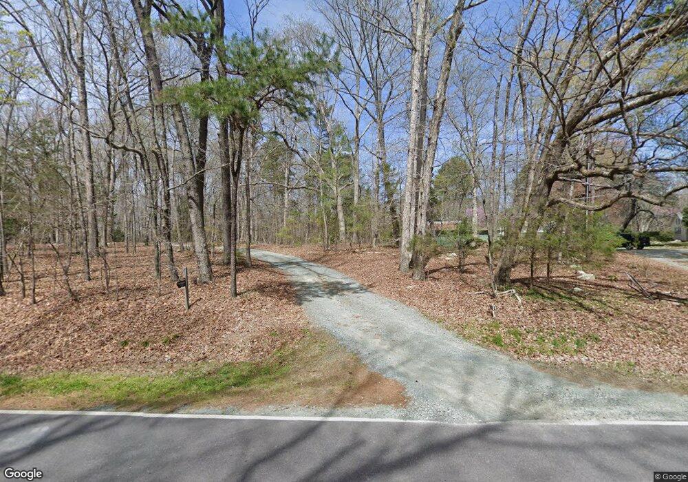
2597 Lamont Norwood Rd Pittsboro, NC 27312
Estimated Value: $164,000 - $606,000
3
Beds
1
Bath
750
Sq Ft
$546/Sq Ft
Est. Value
About This Home
This home is located at 2597 Lamont Norwood Rd, Pittsboro, NC 27312 and is currently estimated at $409,606, approximately $546 per square foot. 2597 Lamont Norwood Rd is a home located in Chatham County with nearby schools including Margaret B. Pollard Middle School, Northwood High, and Holy Youth Christian Academy.
Ownership History
Date
Name
Owned For
Owner Type
Purchase Details
Closed on
Dec 21, 2005
Sold by
Basnight Dorothy
Bought by
Basnight Andrew Henry and Douglass Jenny
Current Estimated Value
Home Financials for this Owner
Home Financials are based on the most recent Mortgage that was taken out on this home.
Original Mortgage
$75,000
Outstanding Balance
$41,719
Interest Rate
6.29%
Mortgage Type
Stand Alone Refi Refinance Of Original Loan
Estimated Equity
$367,887
Create a Home Valuation Report for This Property
The Home Valuation Report is an in-depth analysis detailing your home's value as well as a comparison with similar homes in the area
Home Values in the Area
Average Home Value in this Area
Purchase History
| Date | Buyer | Sale Price | Title Company |
|---|---|---|---|
| Basnight Andrew Henry | $75,000 | None Available |
Source: Public Records
Mortgage History
| Date | Status | Borrower | Loan Amount |
|---|---|---|---|
| Open | Basnight Andrew Henry | $75,000 |
Source: Public Records
Tax History Compared to Growth
Tax History
| Year | Tax Paid | Tax Assessment Tax Assessment Total Assessment is a certain percentage of the fair market value that is determined by local assessors to be the total taxable value of land and additions on the property. | Land | Improvement |
|---|---|---|---|---|
| 2025 | $1,806 | $234,966 | $121,690 | $113,276 |
| 2024 | $1,806 | $262,579 | $193,577 | $69,002 |
| 2023 | $2,377 | $262,579 | $193,577 | $69,002 |
| 2022 | $2,181 | $262,579 | $193,577 | $69,002 |
| 2021 | $2,155 | $262,579 | $193,577 | $69,002 |
| 2020 | $2,123 | $256,794 | $170,527 | $86,267 |
| 2019 | $2,123 | $256,794 | $170,527 | $86,267 |
| 2018 | $2,002 | $256,794 | $170,527 | $86,267 |
| 2017 | $2,002 | $256,794 | $170,527 | $86,267 |
| 2016 | $1,903 | $241,292 | $155,025 | $86,267 |
| 2015 | $1,874 | $241,292 | $155,025 | $86,267 |
| 2014 | $1,838 | $241,292 | $155,025 | $86,267 |
| 2013 | -- | $241,292 | $155,025 | $86,267 |
Source: Public Records
Map
Nearby Homes
- 170 Kenwood Ln
- 93 Kenwood Ln
- 75 Kenwood Ln
- L2-37 Lamont Norwood Rd
- 33 Henry Ct
- 34 Chestnut Way
- 114 Margaret Mann Way
- 236 Emelia Ln
- 67 Ada Ct
- 337 Ivy Ridge Rd
- 318 Ivy Ridge Rd
- 250 Ivy Ridge Rd
- 269 Ivy Ridge Rd
- 131 Evander Way
- 586 Middleton Place
- 91 Ivy Ridge Rd
- Mason Plan at The Summit at Morgan Ridge
- Galloway Plan at The Summit at Morgan Ridge
- Dawson Plan at The Summit at Morgan Ridge
- Buckingham Plan at The Summit at Morgan Ridge
- 2673 Lamont Norwood Rd
- 2583 Lamont Norwood Rd
- 2557 Lamont Norwood Rd
- 2640 Lamont Norwood Rd
- 20 Rockwood Ln
- 30 Rockwood Ln
- 2457 Lamont Norwood Rd
- 98 Rockwood Ln
- 23 Rockwood Ln
- 00 Rockwood Ln
- 00 Rockwood Ln Unit 23
- 16 Sourwood Ln
- 26 Green Ridge Ln
- 2500 Lamont Norwood Rd
- 10 Green Ridge Ln
- 10 Sourwood Ln
- 2490 Lamont Norwood Rd
- 50 Green Ridge Ln
- 30 Green Ridge Ln
- 29 Sourwood Ln