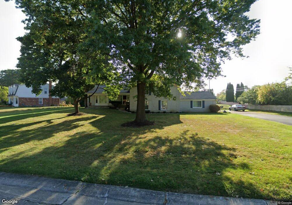
2597 Wickfield Rd West Bloomfield, MI 48323
Estimated Value: $522,182 - $622,000
4
Beds
3
Baths
2,557
Sq Ft
$231/Sq Ft
Est. Value
About This Home
This home is located at 2597 Wickfield Rd, West Bloomfield, MI 48323 and is currently estimated at $590,546, approximately $230 per square foot. 2597 Wickfield Rd is a home located in Oakland County with nearby schools including West Hills Middle School, Bloomfield Hills High School, and Brookfield Academy - West Bloomfield Campus.
Ownership History
Date
Name
Owned For
Owner Type
Purchase Details
Closed on
Jun 10, 2004
Sold by
Nix Boyd Veretta Tranice
Bought by
Boyd Larry Bernard
Current Estimated Value
Home Financials for this Owner
Home Financials are based on the most recent Mortgage that was taken out on this home.
Original Mortgage
$100,000
Interest Rate
6.17%
Mortgage Type
Purchase Money Mortgage
Create a Home Valuation Report for This Property
The Home Valuation Report is an in-depth analysis detailing your home's value as well as a comparison with similar homes in the area
Home Values in the Area
Average Home Value in this Area
Purchase History
| Date | Buyer | Sale Price | Title Company |
|---|---|---|---|
| Boyd Larry Bernard | $15,500 | -- |
Source: Public Records
Mortgage History
| Date | Status | Borrower | Loan Amount |
|---|---|---|---|
| Closed | Boyd Larry Bernard | $100,000 |
Source: Public Records
Tax History
| Year | Tax Paid | Tax Assessment Tax Assessment Total Assessment is a certain percentage of the fair market value that is determined by local assessors to be the total taxable value of land and additions on the property. | Land | Improvement |
|---|---|---|---|---|
| 2025 | $5,008 | $223,380 | $32,000 | $191,380 |
| 2024 | $2,532 | $207,780 | $0 | $0 |
| 2022 | $2,450 | $158,710 | $32,000 | $126,710 |
| 2021 | $4,505 | $152,490 | $0 | $0 |
| 2020 | $2,235 | $160,700 | $32,000 | $128,700 |
| 2018 | $4,235 | $157,580 | $27,800 | $129,780 |
| 2015 | -- | $121,500 | $0 | $0 |
| 2014 | -- | $107,450 | $0 | $0 |
| 2011 | -- | $96,380 | $0 | $0 |
Source: Public Records
Map
Nearby Homes
- 4539 Middleton Ct
- 4768 Wendrick Dr
- 4670 Cove Rd
- 2935 Bloomfield Shore Dr
- 3481 Middlebelt Rd
- 4274 Wendell Rd
- 3095 Bloomfield Park Dr
- 3092 Woodland Ridge Dr
- 4260 Wabeek Lake Dr S
- 0 Wendell Rd Unit 20250033815
- 4975 Inkster Rd
- 1992 Bent Tree Trail
- 4261 Wabeek Lake Dr S
- 0000 Middlebelt Rd
- 4033 Fox Lake Dr
- 3367 Lone Pine Rd
- 4182 Prescott Park Cir
- 4941 Fairway Ridge Cir
- 2123 Daintree Ave
- 0000 Putnam Dr
- 2560 Lone Pine Rd
- 2573 Wickfield Rd
- 2600 Lone Pine Rd
- 2542 Lone Pine Rd
- 2543 Wickfield Rd
- 2586 Wickfield Rd
- 2572 Wickfield Rd
- 2524 Lone Pine Rd
- 2503 Wickfield Rd
- 2558 Wickfield Rd
- 2618 Lone Pine Rd
- 2544 Wickfield Ct
- 2489 Wickfield Rd
- 2506 Lone Pine Rd
- 2636 Lone Pine Rd
- 2475 Wickfield Rd
- 2488 Lone Pine Rd
- 2496 Wickfield Rd
- 2532 Wickfield Ct
- 4608 Maura Ln
Your Personal Tour Guide
Ask me questions while you tour the home.