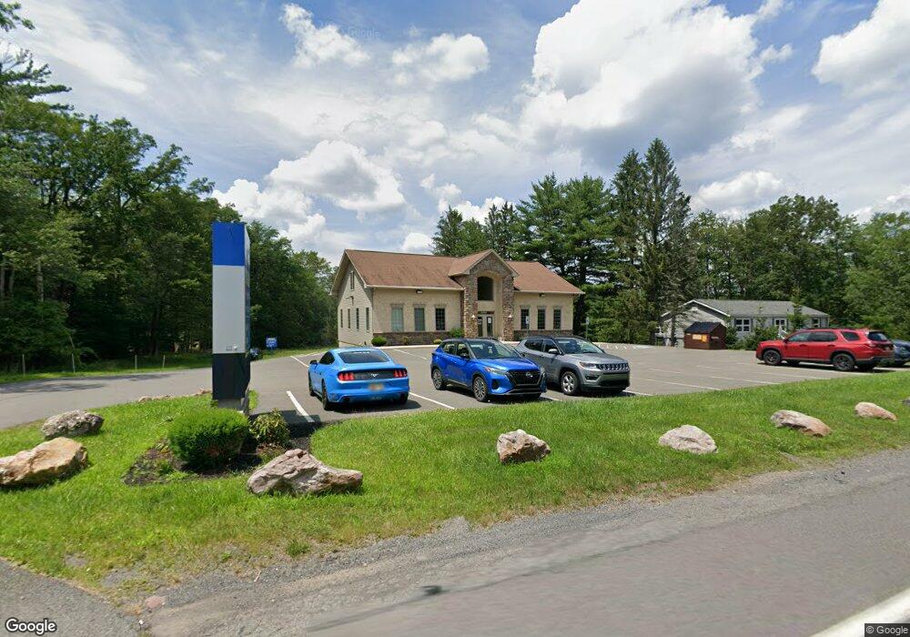
2599 State Route 903 Albrightsville, PA 18210
--
Bed
--
Bath
4,180
Sq Ft
2.02
Acres
About This Home
This home is located at 2599 State Route 903, Albrightsville, PA 18210. 2599 State Route 903 is a home located in Carbon County with nearby schools including Jim Thorpe Area High School.
Ownership History
Date
Name
Owned For
Owner Type
Purchase Details
Closed on
Dec 19, 2014
Sold by
Milestone Developers Inc
Bought by
Bennett Family Properties Llc
Home Financials for this Owner
Home Financials are based on the most recent Mortgage that was taken out on this home.
Original Mortgage
$625,000
Outstanding Balance
$107,457
Interest Rate
4.02%
Mortgage Type
Commercial
Purchase Details
Closed on
May 15, 2006
Sold by
Constanzo Vincent E and Costanzo Carolyn
Bought by
Milestone Developers Inc
Create a Home Valuation Report for This Property
The Home Valuation Report is an in-depth analysis detailing your home's value as well as a comparison with similar homes in the area
Home Values in the Area
Average Home Value in this Area
Purchase History
| Date | Buyer | Sale Price | Title Company |
|---|---|---|---|
| Bennett Family Properties Llc | $400,000 | None Available | |
| Milestone Developers Inc | $83,000 | None Available |
Source: Public Records
Mortgage History
| Date | Status | Borrower | Loan Amount |
|---|---|---|---|
| Open | Bennett Family Properties Llc | $625,000 |
Source: Public Records
Tax History Compared to Growth
Tax History
| Year | Tax Paid | Tax Assessment Tax Assessment Total Assessment is a certain percentage of the fair market value that is determined by local assessors to be the total taxable value of land and additions on the property. | Land | Improvement |
|---|---|---|---|---|
| 2025 | $14,453 | $234,939 | $30,291 | $204,648 |
| 2024 | $13,749 | $234,939 | $30,291 | $204,648 |
| 2023 | $13,572 | $234,939 | $30,291 | $204,648 |
| 2022 | $13,572 | $234,939 | $30,291 | $204,648 |
| 2021 | $13,572 | $234,939 | $30,291 | $204,648 |
| 2020 | $13,572 | $234,939 | $30,291 | $204,648 |
| 2019 | $13,103 | $234,939 | $30,291 | $204,648 |
| 2018 | $13,103 | $234,939 | $30,291 | $204,648 |
| 2017 | $13,103 | $234,939 | $30,291 | $204,648 |
| 2016 | -- | $159,468 | $30,291 | $129,177 |
| 2015 | -- | $159,468 | $30,291 | $129,177 |
| 2014 | -- | $159,468 | $30,291 | $129,177 |
Source: Public Records
Map
Nearby Homes
- EV424 Towamensing Trail
- 992 Old Stage Rd
- 0 Henning Rd
- B927 Towamensing Trail
- A13.19 W Mud Run Lane & Henning Rd
- 407 L Sassafras
- 407 L Pine Tree
- 0 Rrlot#a10 Unit 767552
- A39 Towamensing Trail Dryden Dr
- 0 Rr 534 Lot#a10
- 1136 N Old Stage Rd
- 0 Pennsylvania 534
- Lot D1922 N Old Stage Rd
- 50 Poe Cir
- A50 Poe Cir
- 76 Thomas Ln
- 118 Towamensing Trail
- 57 Frost Ln
- 1 Dryden Dr
- A7 Dryden Dr
- 2608 Pennsylvania 903
- 2591 State Route 903
- 2608 State Route 903
- 1688 S Old Stage Rd
- 1676 S Old Stage Rd
- 1690 S Old Stage Rd
- 63 Grouse Trail
- 701 Old Stage Rd
- 702 Old Stage Rd
- C9 Pennsylvania 903
- C8 Pennsylvania 903
- C10 Pennsylvania 903
- C11 Pennsylvania 903
- C12 Pennsylvania 903
- A7 Pennsylvania 903
- 1 Pennsylvania 903
- 2615 State Route 903
- 1884 S Old Stage Rd
- 0 Old Stage & Rt 903
- 1915 S Old Stage Rd