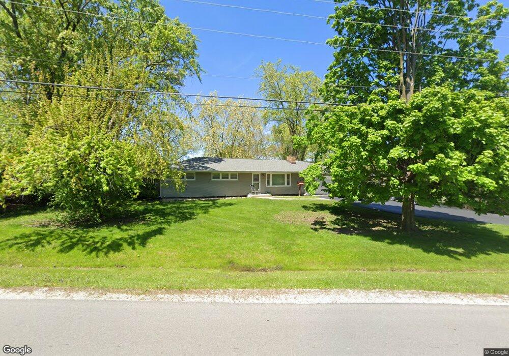
25W146 Armbrust Ave Wheaton, IL 60187
Northside-Wheaton NeighborhoodEstimated Value: $341,763 - $541,000
3
Beds
1
Bath
1,152
Sq Ft
$371/Sq Ft
Est. Value
About This Home
This home is located at 25W146 Armbrust Ave, Wheaton, IL 60187 and is currently estimated at $427,941, approximately $371 per square foot. 25W146 Armbrust Ave is a home located in DuPage County with nearby schools including Washington Elementary School, Franklin Middle School, and Wheaton North High School.
Ownership History
Date
Name
Owned For
Owner Type
Purchase Details
Closed on
Sep 25, 1998
Sold by
Rasmussen Theodore C and Rasmussen Deana L
Bought by
Dejohn Lena
Current Estimated Value
Home Financials for this Owner
Home Financials are based on the most recent Mortgage that was taken out on this home.
Original Mortgage
$152,000
Outstanding Balance
$33,480
Interest Rate
6.97%
Estimated Equity
$394,461
Create a Home Valuation Report for This Property
The Home Valuation Report is an in-depth analysis detailing your home's value as well as a comparison with similar homes in the area
Home Values in the Area
Average Home Value in this Area
Purchase History
| Date | Buyer | Sale Price | Title Company |
|---|---|---|---|
| Dejohn Lena | $160,000 | -- |
Source: Public Records
Mortgage History
| Date | Status | Borrower | Loan Amount |
|---|---|---|---|
| Open | Dejohn Lena | $152,000 |
Source: Public Records
Tax History Compared to Growth
Tax History
| Year | Tax Paid | Tax Assessment Tax Assessment Total Assessment is a certain percentage of the fair market value that is determined by local assessors to be the total taxable value of land and additions on the property. | Land | Improvement |
|---|---|---|---|---|
| 2024 | $4,869 | $100,600 | $30,245 | $70,355 |
| 2023 | $4,603 | $92,600 | $27,840 | $64,760 |
| 2022 | $4,694 | $87,510 | $26,310 | $61,200 |
| 2021 | $4,651 | $85,440 | $25,690 | $59,750 |
| 2020 | $4,938 | $84,640 | $25,450 | $59,190 |
| 2019 | $4,807 | $82,410 | $24,780 | $57,630 |
| 2018 | $4,550 | $77,640 | $23,350 | $54,290 |
| 2017 | $4,471 | $74,780 | $22,490 | $52,290 |
| 2016 | $4,400 | $71,790 | $21,590 | $50,200 |
| 2015 | $4,360 | $68,490 | $20,600 | $47,890 |
| 2014 | $4,561 | $70,130 | $19,360 | $50,770 |
| 2013 | $4,424 | $70,340 | $19,420 | $50,920 |
Source: Public Records
Map
Nearby Homes
- 0N510 Gary Ave
- 0 Ellis Ave
- 114 W Prairie Ave
- 0N649 Knollwood Dr
- 1115 N Main St
- 1902 N Washington St
- 921 & 933 N College Ave
- 0N105 Lot 1 Nepil Ave
- 0N105 Lot 2 Nepil Ave
- 628 Belmont Ln
- 25W275 Doris Ave
- 25W277 Doris Ave
- 26W028 Prairie Ave
- 0N042 Nepil Ave
- 25W361 Doris Ave
- 312 E Lincoln Ave
- 808 Bridle Ln
- 26W181 Grand Ave
- 127 N West St
- 26W185 Meadowview Ct
- 0N456 Ellis Ave
- 25W160 Armbrust Ave
- 0N453 Morse St
- 0N422 Ellis Ave
- 0N461 Morse St
- 0N468 Ellis Ave
- 25W114 Armbrust Ave
- 25W161 Armbrust Ave
- 0N467 Morse St
- 0N461 Ellis Ave
- 25W111 Armbrust Ave
- N376 Morse St
- 0N419 Morse St
- 0N477 Morse St
- 0N480 Ellis Ave
- 0N406 Ellis Ave
- 0N409 Morse St
- 0N409 Ellis Ave
- 25W200 Armbrust Ave
- 0N504 Ellis Ave