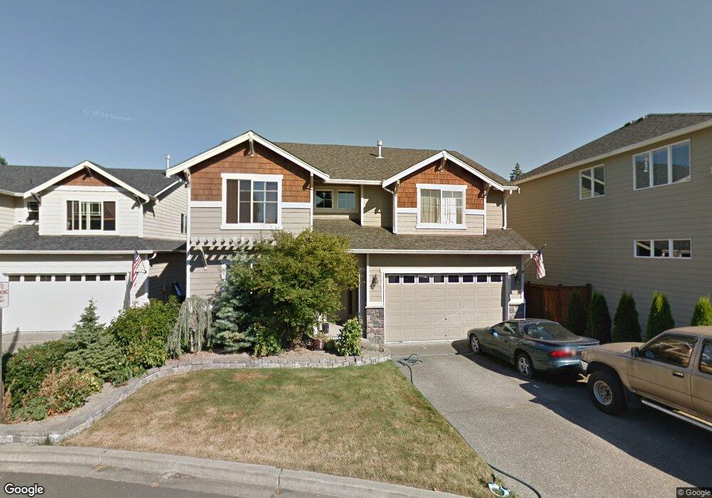
26 211th St SW Bothell, WA 98021
Queensborough-Brentwood NeighborhoodEstimated Value: $1,100,103 - $1,255,000
4
Beds
3
Baths
2,619
Sq Ft
$441/Sq Ft
Est. Value
About This Home
This home is located at 26 211th St SW, Bothell, WA 98021 and is currently estimated at $1,154,026, approximately $440 per square foot. 26 211th St SW is a home with nearby schools including Hilltop Elementary School, Brier Terrace Middle School, and Mountlake Terrace High School.
Ownership History
Date
Name
Owned For
Owner Type
Purchase Details
Closed on
Dec 13, 2005
Sold by
Select Homes Inc
Bought by
Molloy Denis P and Molloy Miriam R
Current Estimated Value
Home Financials for this Owner
Home Financials are based on the most recent Mortgage that was taken out on this home.
Original Mortgage
$351,950
Outstanding Balance
$197,152
Interest Rate
6.31%
Mortgage Type
Fannie Mae Freddie Mac
Estimated Equity
$956,874
Create a Home Valuation Report for This Property
The Home Valuation Report is an in-depth analysis detailing your home's value as well as a comparison with similar homes in the area
Home Values in the Area
Average Home Value in this Area
Purchase History
| Date | Buyer | Sale Price | Title Company |
|---|---|---|---|
| Molloy Denis P | $439,950 | Chicago |
Source: Public Records
Mortgage History
| Date | Status | Borrower | Loan Amount |
|---|---|---|---|
| Open | Molloy Denis P | $351,950 |
Source: Public Records
Tax History
| Year | Tax Paid | Tax Assessment Tax Assessment Total Assessment is a certain percentage of the fair market value that is determined by local assessors to be the total taxable value of land and additions on the property. | Land | Improvement |
|---|---|---|---|---|
| 2025 | $7,365 | $947,400 | $551,600 | $395,800 |
| 2024 | $7,365 | $891,600 | $509,500 | $382,100 |
| 2023 | $8,527 | $1,083,000 | $648,600 | $434,400 |
| 2022 | $7,300 | $752,900 | $379,800 | $373,100 |
| 2020 | $7,075 | $643,900 | $327,000 | $316,900 |
| 2019 | $6,435 | $582,400 | $265,000 | $317,400 |
| 2018 | $6,496 | $518,200 | $235,000 | $283,200 |
| 2017 | $5,332 | $439,700 | $175,000 | $264,700 |
| 2016 | $4,998 | $413,600 | $160,000 | $253,600 |
Source: Public Records
Map
Nearby Homes
- 21120 Meridian Place W
- 215 Hubbard Rd
- 20912 2nd Ave W
- 33 213th Place SW
- 20902 2nd Ave W
- 20911 W Richmond Rd
- 21414 2nd Ave SE
- 410 214th St SW Unit B
- 110 204th Place SW
- 604 213th St SW
- 610 Logan Rd
- 300 208th St SE
- 309 207th Place SE
- 422 216th St SW
- 130 203rd Place SW
- 625 215th St SW
- 738 211th Place SE
- 722 211th Place SE
- 721 211th Place SE
- 729 211th Place SE
- 22 211th St SW
- 30 211th St SW
- 21107 1st Ave W
- 21105 1st Ave W
- 18 211th St SW
- 202 Hubbard Rd
- 200 Hubbard Rd
- 21111 1st Ave W
- 102 Hubbard Rd
- 21115 1st Ave W
- 21116 Meridian Place W
- 204 Hubbard Rd
- 21110 1st Ave W
- 21117 Meridian Place W
- 21119 1st Ave W
- 206 Hubbard Rd
- 21114 1st Ave W
- 21124 Meridian Place W
- 21123 1st Ave W
- 105 Logan Rd
Your Personal Tour Guide
Ask me questions while you tour the home.