26 & 28 Fernald Point Rd Southwest Harbor, ME 04679
Estimated Value: $5,072,503
6
Beds
5
Baths
4,636
Sq Ft
$1,094/Sq Ft
Est. Value
About This Home
This home is located at 26 & 28 Fernald Point Rd, Southwest Harbor, ME 04679 and is currently priced at $5,072,503, approximately $1,094 per square foot. 26 & 28 Fernald Point Rd is a home located in Hancock County with nearby schools including Pemetic Elementary School and Mt. Desert Island High School.
Ownership History
Date
Name
Owned For
Owner Type
Purchase Details
Closed on
Apr 3, 2015
Sold by
Judd H L
Bought by
Judd Harry Lee T and Judd J
Current Estimated Value
Purchase Details
Closed on
Mar 11, 2014
Sold by
Weismann Settlemt T D and Weismann Smyth
Bought by
Judd H L
Purchase Details
Closed on
Mar 28, 2012
Sold by
Philippa V Weismann Ret and Weisman
Bought by
Weismann Settlemnt T D and Weismann Smyth
Purchase Details
Closed on
May 3, 2010
Sold by
Dietrich Weismann Ret and Weismann
Bought by
Dietrich Weismann Ret and Weismann
Create a Home Valuation Report for This Property
The Home Valuation Report is an in-depth analysis detailing your home's value as well as a comparison with similar homes in the area
Home Values in the Area
Average Home Value in this Area
Purchase History
| Date | Buyer | Sale Price | Title Company |
|---|---|---|---|
| Judd Harry Lee T | -- | -- | |
| Judd Harry Lee T | -- | -- | |
| Judd H L | -- | -- | |
| Weismann Settlemnt T D | -- | -- | |
| Weismann Settlemnt T D | -- | -- | |
| Dietrich Weismann Ret | -- | -- | |
| Dietrich Weismann Ret | -- | -- |
Source: Public Records
Tax History Compared to Growth
Tax History
| Year | Tax Paid | Tax Assessment Tax Assessment Total Assessment is a certain percentage of the fair market value that is determined by local assessors to be the total taxable value of land and additions on the property. | Land | Improvement |
|---|---|---|---|---|
| 2024 | $67,465 | $7,479,500 | $4,397,200 | $3,082,300 |
| 2023 | $56,609 | $3,481,500 | $2,380,600 | $1,100,900 |
| 2022 | $51,150 | $3,479,600 | $2,378,700 | $1,100,900 |
| 2021 | $51,011 | $3,479,600 | $2,378,700 | $1,100,900 |
| 2020 | $2,916 | $3,449,600 | $2,378,700 | $1,070,900 |
| 2019 | $47,168 | $3,381,200 | $2,378,700 | $1,002,500 |
| 2018 | $46,018 | $3,378,700 | $2,378,700 | $1,000,000 |
| 2017 | $35,506 | $2,761,000 | $2,378,700 | $382,300 |
| 2016 | $35,015 | $2,722,800 | $2,378,700 | $344,100 |
| 2015 | $38,997 | $3,032,400 | $2,378,700 | $653,700 |
| 2014 | $38,997 | $3,032,400 | $2,378,700 | $653,700 |
| 2013 | $38,997 | $3,032,400 | $2,378,700 | $653,700 |
Source: Public Records
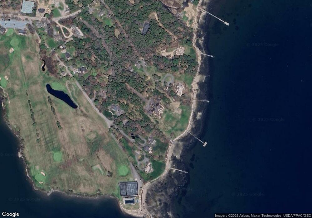
Map
Nearby Homes
- 00 Fernald Point Rd
- 14 Seal Cove Rd
- 16 Long Pond Rd
- 17 Freeman Ridge Rd
- 120 Clark Point Rd
- 25 Long Pond Rd
- 77 Manchester Rd
- 109 Freeman Ridge Rd
- 471 Main St
- 142 Seal Cove Rd
- 3 and 5 Graves Lane Harbor NE
- 10 Robinson Ln Unit 18
- 65 Summit Rd
- 30 Neighborhood Rd
- 49 Summit Rd
- 16 Millbrook-Northeast Harbor Rd
- 6 Gilpatrick Ln
- 6 Sea St
- 000
- 000 Seawall Map Lot 17 11-01 Rd
- 13 N Causeway Ln
- 9 N Causeway Ln
- 8 N Causeway Ln
- 5 N Causeway Ln
- 17 N Causeway Ln
- 52 Fernald Point Rd
- 10 Woodie Dr
- 12 Woodie Dr
- 32 Fernald Point Rd
- 21 N Causeway Ln
- 68 Fernald Point Rd
- 22 Fernald Point Rd
- 24 Fernald Point Rd
- 28 Fernald Point Rd
- 25 Fernald Point Rd
- 31 Fernald Point Rd
- 0 Causeway Ln
- 0 N Causeway Ln
- 10 Sail Mountain
- 26 Fernald Point Rd