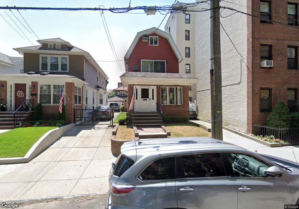
26 93rd St Brooklyn, NY 11209
Fort Hamilton NeighborhoodEstimated Value: $1,400,000 - $1,468,000
Studio
--
Bath
1,456
Sq Ft
$985/Sq Ft
Est. Value
About This Home
This home is located at 26 93rd St, Brooklyn, NY 11209 and is currently estimated at $1,433,940, approximately $984 per square foot. 26 93rd St is a home located in Kings County with nearby schools including P.S. 185 Walter Kassenbrock, P.S./I.S. 104 The Fort Hamilton School, and Fort Hamilton High School.
Ownership History
Date
Name
Owned For
Owner Type
Purchase Details
Closed on
Jan 12, 1998
Sold by
Breslin Patricia
Bought by
Mccauley Kevin P and Mccauley Jane L
Current Estimated Value
Home Financials for this Owner
Home Financials are based on the most recent Mortgage that was taken out on this home.
Original Mortgage
$256,000
Interest Rate
6.93%
Create a Home Valuation Report for This Property
The Home Valuation Report is an in-depth analysis detailing your home's value as well as a comparison with similar homes in the area
Home Values in the Area
Average Home Value in this Area
Purchase History
| Date | Buyer | Sale Price | Title Company |
|---|---|---|---|
| Mccauley Kevin P | $320,000 | Chicago Title Insurance Co |
Source: Public Records
Mortgage History
| Date | Status | Borrower | Loan Amount |
|---|---|---|---|
| Previous Owner | Mccauley Kevin P | $256,000 |
Source: Public Records
Tax History
| Year | Tax Paid | Tax Assessment Tax Assessment Total Assessment is a certain percentage of the fair market value that is determined by local assessors to be the total taxable value of land and additions on the property. | Land | Improvement |
|---|---|---|---|---|
| 2025 | $12,794 | $88,680 | $19,920 | $68,760 |
| 2024 | $12,794 | $84,660 | $19,920 | $64,740 |
| 2023 | $12,250 | $87,720 | $19,920 | $67,800 |
| 2022 | $11,507 | $80,040 | $19,920 | $60,120 |
| 2021 | $11,434 | $70,020 | $19,920 | $50,100 |
| 2019 | $10,812 | $64,800 | $19,920 | $44,880 |
| 2018 | $9,948 | $50,263 | $11,997 | $38,266 |
| 2017 | $9,736 | $49,233 | $14,300 | $34,933 |
| 2016 | $8,976 | $46,448 | $15,930 | $30,518 |
| 2015 | $5,382 | $46,448 | $21,889 | $24,559 |
| 2014 | $5,382 | $44,236 | $18,741 | $25,495 |
Source: Public Records
Map
Nearby Homes
- 20 Oliver St
- 9281 Shore Rd Unit 402
- 9281 Shore Rd Unit 220
- 15 Oliver St Unit 3-C
- 9255 Shore Rd Unit 6C
- 9265 Shore Rd Unit 4e
- 35 Oliver St Unit 1D
- 61 Oliver St Unit 6F
- 61 Oliver St Unit 1T
- 61 Oliver St Unit 5K
- 61 Oliver St Unit 5B
- 61 Oliver St Unit 4-P
- 61 Oliver St Unit 2V
- 61 Oliver St Unit 2P
- 9323 Shore Rd Unit 4G
- 9201 Shore Rd Unit C703/2
- 9201 Shore Rd Unit C701
- 9201 Shore Rd Unit D308
- 9201 Shore Rd Unit C-703
- 9201 Shore Rd Unit C403
- 30 93rd St
- 20 93rd St Unit 36
- 20 93rd St Unit 2D
- 20 93rd St Unit 3A
- 20 93rd St Unit 4A
- 20 93rd St Unit 4C
- 20 93rd St Unit 4B
- 20 93rd St
- 20 93rd St Unit 6E
- 20 93rd St Unit 5E
- 20 93rd St Unit 2F
- 20 93rd St Unit 1D
- 20 93rd St Unit 3D
- 20 93rd St Unit 5C
- 20 93rd St Unit 3C
- 20 93rd St Unit 4E
- 20 93rd St Unit 3F
- 20 93rd St Unit 2E
- 20 93rd St Unit 5D
- 20 93rd St Unit 6D
Your Personal Tour Guide
Ask me questions while you tour the home.