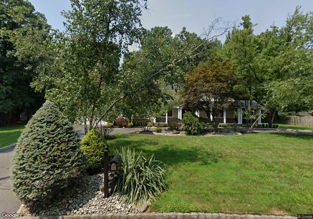
26 Allenby Ln Scotch Plains, NJ 07076
Estimated Value: $902,805 - $1,379,000
--
Bed
--
Bath
2,941
Sq Ft
$423/Sq Ft
Est. Value
About This Home
This home is located at 26 Allenby Ln, Scotch Plains, NJ 07076 and is currently estimated at $1,243,951, approximately $422 per square foot. 26 Allenby Ln is a home located in Union County with nearby schools including J. Ackerman Coles Elementary School, Terrill Middle School, and Scotch Plains-Fanwood High School.
Ownership History
Date
Name
Owned For
Owner Type
Purchase Details
Closed on
Dec 23, 2014
Sold by
Kussner Russell Ira and Kussner Shari Ruth
Bought by
The Russell & Shari Kussner Revocable Tr and Kussner Russell I
Current Estimated Value
Purchase Details
Closed on
Oct 16, 1996
Sold by
Weisinger Martin and Weisinger Roberta L
Bought by
Kussner Russell Ira and Kussner Shari Ruth
Create a Home Valuation Report for This Property
The Home Valuation Report is an in-depth analysis detailing your home's value as well as a comparison with similar homes in the area
Home Values in the Area
Average Home Value in this Area
Purchase History
| Date | Buyer | Sale Price | Title Company |
|---|---|---|---|
| The Russell & Shari Kussner Revocable Tr | -- | None Available | |
| Kussner Russell Ira | $360,000 | -- |
Source: Public Records
Tax History Compared to Growth
Tax History
| Year | Tax Paid | Tax Assessment Tax Assessment Total Assessment is a certain percentage of the fair market value that is determined by local assessors to be the total taxable value of land and additions on the property. | Land | Improvement |
|---|---|---|---|---|
| 2025 | $25,807 | $219,300 | $87,100 | $132,200 |
| 2024 | $25,046 | $219,300 | $87,100 | $132,200 |
| 2023 | $25,046 | $219,300 | $87,100 | $132,200 |
| 2022 | $24,748 | $219,300 | $87,100 | $132,200 |
| 2021 | $24,706 | $219,300 | $87,100 | $132,200 |
| 2020 | $24,588 | $219,300 | $87,100 | $132,200 |
| 2019 | $24,406 | $219,300 | $87,100 | $132,200 |
| 2018 | $23,996 | $219,300 | $87,100 | $132,200 |
| 2017 | $23,463 | $219,300 | $87,100 | $132,200 |
| 2016 | $23,011 | $219,300 | $87,100 | $132,200 |
| 2015 | $22,634 | $219,300 | $87,100 | $132,200 |
| 2014 | $21,888 | $219,300 | $87,100 | $132,200 |
Source: Public Records
Map
Nearby Homes
- 19 Highlander Dr
- 1380 Terrill Rd
- 939-45 Post Dr
- 1232 Sunnyfield Ln
- 49 Highlander Dr
- 1224 Sunnyfield Ln
- 32 Gere Place
- 1158 Woodmere Place
- 1191 Cooper Rd
- 848 Adam Cir
- 187 King St
- 57 Rambling Dr
- 5 Robin Rd
- 1009 Mayfair Way
- 481 Terrill Rd
- 810 Leland Ave Unit 14
- 1627 Prospect Ave Unit 47
- 842 Berkeley Ave
- 1231 Rahway Rd
- 1657 Forest Hill Rd Unit 63