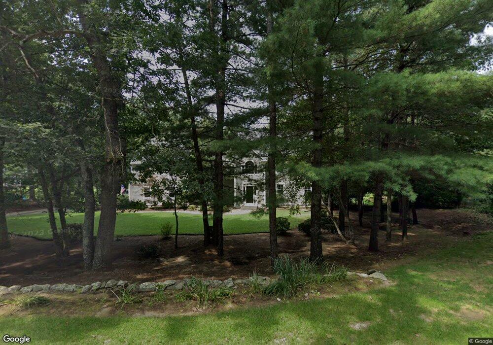
26 Amanda Rd Unit 1 Sudbury, MA 01776
Estimated Value: $1,884,000 - $1,977,789
4
Beds
5
Baths
5,510
Sq Ft
$349/Sq Ft
Est. Value
About This Home
This home is located at 26 Amanda Rd Unit 1, Sudbury, MA 01776 and is currently estimated at $1,922,197, approximately $348 per square foot. 26 Amanda Rd Unit 1 is a home located in Middlesex County with nearby schools including Peter Noyes Elementary School, Ephraim Curtis Middle School, and Lincoln-Sudbury Regional High School.
Ownership History
Date
Name
Owned For
Owner Type
Purchase Details
Closed on
Apr 17, 2009
Sold by
Wald Stephen A and Wald Estelle H
Bought by
Comrie Connor E and Comrie Rosemary
Current Estimated Value
Home Financials for this Owner
Home Financials are based on the most recent Mortgage that was taken out on this home.
Original Mortgage
$417,000
Outstanding Balance
$264,741
Interest Rate
5.02%
Mortgage Type
Purchase Money Mortgage
Estimated Equity
$1,657,456
Purchase Details
Closed on
Feb 16, 2005
Sold by
Wald Stephen A
Bought by
Wald Estelle H and Wald Stephen A
Purchase Details
Closed on
Mar 1, 2004
Sold by
Edling Judith L and Edling Manfred H
Bought by
Wald Stephen A
Home Financials for this Owner
Home Financials are based on the most recent Mortgage that was taken out on this home.
Original Mortgage
$710,000
Interest Rate
5.65%
Mortgage Type
Purchase Money Mortgage
Purchase Details
Closed on
May 31, 1996
Sold by
R & D Homes Inc
Bought by
Edling Manfred H and Edling Judith L
Create a Home Valuation Report for This Property
The Home Valuation Report is an in-depth analysis detailing your home's value as well as a comparison with similar homes in the area
Home Values in the Area
Average Home Value in this Area
Purchase History
| Date | Buyer | Sale Price | Title Company |
|---|---|---|---|
| Comrie Connor E | $897,000 | -- | |
| Comrie Connor E | $897,000 | -- | |
| Wald Estelle H | -- | -- | |
| Wald Estelle H | -- | -- | |
| Wald Stephen A | $1,010,000 | -- | |
| Wald Stephen A | $1,010,000 | -- | |
| Edling Manfred H | $639,700 | -- |
Source: Public Records
Mortgage History
| Date | Status | Borrower | Loan Amount |
|---|---|---|---|
| Open | Edling Manfred H | $250,000 | |
| Open | Comrie Connor E | $417,000 | |
| Closed | Edling Manfred H | $417,000 | |
| Previous Owner | Wald Stephen A | $710,000 |
Source: Public Records
Tax History Compared to Growth
Tax History
| Year | Tax Paid | Tax Assessment Tax Assessment Total Assessment is a certain percentage of the fair market value that is determined by local assessors to be the total taxable value of land and additions on the property. | Land | Improvement |
|---|---|---|---|---|
| 2025 | $24,816 | $1,695,100 | $530,800 | $1,164,300 |
| 2024 | $23,870 | $1,633,800 | $515,500 | $1,118,300 |
| 2023 | $22,393 | $1,420,000 | $481,900 | $938,100 |
| 2022 | $21,077 | $1,167,700 | $408,100 | $759,600 |
| 2021 | $20,137 | $1,069,400 | $408,100 | $661,300 |
| 2020 | $20,151 | $1,092,200 | $430,900 | $661,300 |
| 2019 | $19,561 | $1,092,200 | $430,900 | $661,300 |
| 2018 | $18,783 | $1,047,600 | $442,100 | $605,500 |
| 2017 | $17,942 | $1,011,400 | $411,500 | $599,900 |
| 2016 | $17,421 | $978,700 | $395,500 | $583,200 |
| 2015 | $17,774 | $1,009,900 | $437,900 | $572,000 |
| 2014 | $17,779 | $986,100 | $425,200 | $560,900 |
Source: Public Records
Map
Nearby Homes
- 21 Summer St
- 7 Saddle Ridge Rd
- 143 Peakham Rd
- 30 Rolling Ln
- 12 Hickory Rd
- 54 Stone Rd
- 0 Robbins Rd
- 123 Dutton Rd
- 0 Boston Post Rd
- 89 Bridle Path
- 47 Fairbank Rd
- 7 Adams Rd
- 36 Old Forge Ln
- 4 Elderberry Cir
- 24 Woodland Rd
- 270 Old Lancaster Rd
- 24 Goodnow Rd
- 54 Phillips Rd
- 1011 Boston Post Rd
- 128 Nobscot Rd