26 Amherst Rd Whiting, NJ 08759
Manchester Township NeighborhoodEstimated Value: $237,000 - $283,000
2
Beds
2
Baths
1,418
Sq Ft
$178/Sq Ft
Est. Value
About This Home
This home is located at 26 Amherst Rd, Whiting, NJ 08759 and is currently estimated at $252,209, approximately $177 per square foot. 26 Amherst Rd is a home located in Ocean County with nearby schools including Manchester Township High School.
Ownership History
Date
Name
Owned For
Owner Type
Purchase Details
Closed on
Nov 28, 2019
Sold by
Slingerland Alfred B and Slingerland Janet M
Bought by
Slingerland Janet M and Slingerland Donna
Current Estimated Value
Purchase Details
Closed on
Jul 30, 1999
Sold by
Hutchins William H and Martin Marian C
Bought by
Slingerland Alfred B and Slingerland Janet M
Purchase Details
Closed on
Nov 27, 1996
Sold by
Dunphey Lillian
Bought by
Hutchins William and Martin Marian
Create a Home Valuation Report for This Property
The Home Valuation Report is an in-depth analysis detailing your home's value as well as a comparison with similar homes in the area
Home Values in the Area
Average Home Value in this Area
Purchase History
| Date | Buyer | Sale Price | Title Company |
|---|---|---|---|
| Slingerland Janet M | -- | American Abstract Agency Llc | |
| Slingerland Alfred B | $87,150 | -- | |
| Hutchins William | $92,000 | -- |
Source: Public Records
Tax History Compared to Growth
Tax History
| Year | Tax Paid | Tax Assessment Tax Assessment Total Assessment is a certain percentage of the fair market value that is determined by local assessors to be the total taxable value of land and additions on the property. | Land | Improvement |
|---|---|---|---|---|
| 2025 | $3,309 | $215,800 | $52,900 | $162,900 |
| 2024 | $2,891 | $134,800 | $10,000 | $124,800 |
Source: Public Records
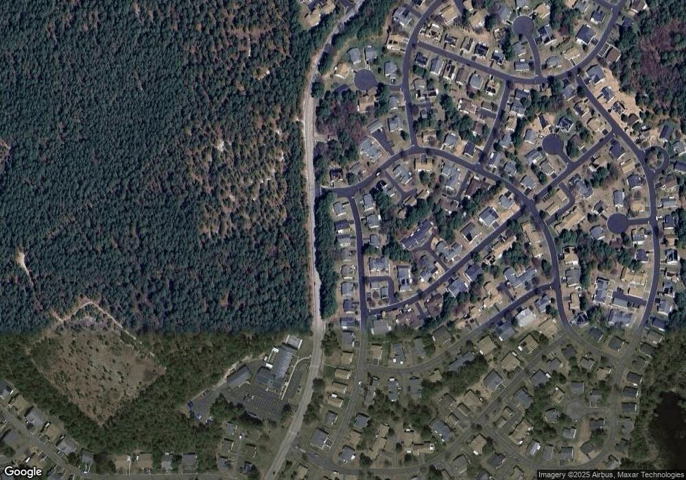
Map
Nearby Homes
- 9A Ardsley Ave Unit 64
- 15 Alpine Rd Unit 63
- 10 Alpine Rd Unit 63
- 8 Alpine Rd Unit C
- 3B Alpine Rd Unit 63
- 153A Sunset Rd
- 6 Berkeley St Unit 64
- 4 Ardsley Ave Unit C
- 14 Berkshire Rd Unit 64
- 9A Greenwood Ln
- 30A Mill Rd Unit 64
- 6 Holyoke Ct
- 41C Stonybrook Rd Unit A
- 19 Chipmunk Ct Unit 3019
- 7B Greenwood Ln Unit 62
- 18 Chipmunk Ct Unit 3018
- 12B Golden Ct
- 1B Greenwood Ln Unit B
- 32 Winkle Ct
- 45 Beaver Ave
- 28 Amherst Rd
- 24 Amherst Rd
- 30 Amherst Rd
- 22 Amherst Rd
- 13 Amherst Rd
- 11A Amherst Rd
- 15 Amherst Rd
- 11B Amherst Rd
- 11 Amherst Rd Unit A
- 11 Amherst Rd Unit B
- 17 Amherst Rd
- 17 Amherst Rd Unit 64
- 20 Amherst Rd
- 11C Amherst Rd
- 11C Amherst Rd Unit 64
- 24D Amesbury Rd
- 11A Ardsley Ave
- 11A Ardsley Ave Unit A
- 11A Ardsley Ave Unit 64
- 15A Ardsley Ave