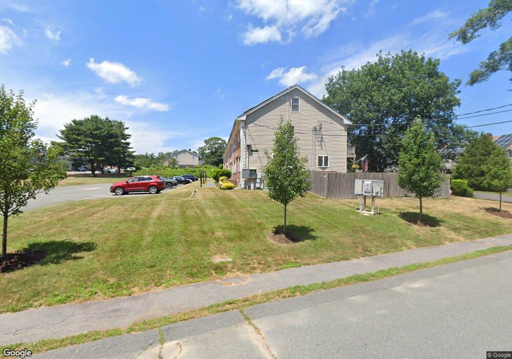
26 Andrew Rd East Bridgewater, MA 02333
Estimated Value: $360,000 - $370,000
2
Beds
2
Baths
1,024
Sq Ft
$358/Sq Ft
Est. Value
About This Home
This home is located at 26 Andrew Rd, East Bridgewater, MA 02333 and is currently estimated at $366,249, approximately $357 per square foot. 26 Andrew Rd is a home located in Plymouth County with nearby schools including Gordon W Mitchell Middle School and East Bridgewater Jr./Sr. High School.
Ownership History
Date
Name
Owned For
Owner Type
Purchase Details
Closed on
May 21, 2008
Sold by
Leishman Alan G
Bought by
Leishman Rt
Current Estimated Value
Purchase Details
Closed on
May 5, 1998
Sold by
Briody Maura J and Briody Thomas J
Bought by
Leishman Alan and Hanflig Leona
Home Financials for this Owner
Home Financials are based on the most recent Mortgage that was taken out on this home.
Original Mortgage
$82,200
Interest Rate
7.04%
Mortgage Type
Purchase Money Mortgage
Create a Home Valuation Report for This Property
The Home Valuation Report is an in-depth analysis detailing your home's value as well as a comparison with similar homes in the area
Home Values in the Area
Average Home Value in this Area
Purchase History
| Date | Buyer | Sale Price | Title Company |
|---|---|---|---|
| Leishman Rt | -- | -- | |
| Leishman Alan | $84,300 | -- |
Source: Public Records
Mortgage History
| Date | Status | Borrower | Loan Amount |
|---|---|---|---|
| Previous Owner | Leishman Alan | $110,000 | |
| Previous Owner | Leishman Alan | $82,200 |
Source: Public Records
Tax History Compared to Growth
Tax History
| Year | Tax Paid | Tax Assessment Tax Assessment Total Assessment is a certain percentage of the fair market value that is determined by local assessors to be the total taxable value of land and additions on the property. | Land | Improvement |
|---|---|---|---|---|
| 2025 | $4,045 | $295,900 | $0 | $295,900 |
| 2024 | $3,836 | $277,200 | $0 | $277,200 |
| 2023 | $3,602 | $249,300 | $0 | $249,300 |
| 2022 | $3,435 | $220,200 | $0 | $220,200 |
| 2021 | $3,315 | $194,400 | $0 | $194,400 |
| 2020 | $3,282 | $189,800 | $0 | $189,800 |
| 2019 | $3,054 | $173,900 | $0 | $173,900 |
| 2018 | $2,848 | $158,600 | $0 | $158,600 |
| 2017 | $2,635 | $144,000 | $0 | $144,000 |
| 2016 | $2,541 | $139,900 | $0 | $139,900 |
| 2015 | $2,637 | $148,500 | $0 | $148,500 |
| 2014 | $2,531 | $145,700 | $0 | $145,700 |
Source: Public Records
Map
Nearby Homes
- 1 Robins St Unit 1
- 96 Trailwood Dr
- 24 High Pond Dr
- 67 Country Dr
- 23 Stone Meadow Dr
- 1993 Washington St
- 114 Plain St
- 148 Lot 1a Elm St
- 1 Lamppost Dr
- 74 Magnolia Way
- 10 Eliab Latham Way
- Lot 1 Mill St
- 780 Old Plymouth St
- 4 Sycamore Ln
- 477 Cherry St
- 0 Three Rivers Dr
- 2 Lydon Ln Unit A1
- 199 Cherry St
- 865 Plymouth St Unit 865
- 26 Old Summit St
- 32 Andrew Rd
- 30 Andrew Rd
- 28 Andrew Rd
- 24 Andrew Rd
- 22 Andrew Rd
- 20 Andrew Rd
- 18 Andrew Rd
- 20 Andrew Rd Unit 20
- 18 Andrew Rd Unit 18
- 31 Douglas Dr
- 29 Douglas Dr
- 27 Douglas Dr
- 25 Douglas Dr
- 23 Douglas Dr
- 21 Douglas Dr
- 19 Douglas Dr
- 17 Douglas Dr
- 17 Douglas Dr Unit 17
- 31 Douglas Dr Unit 104/31
- 31 Douglas Dr Unit 31