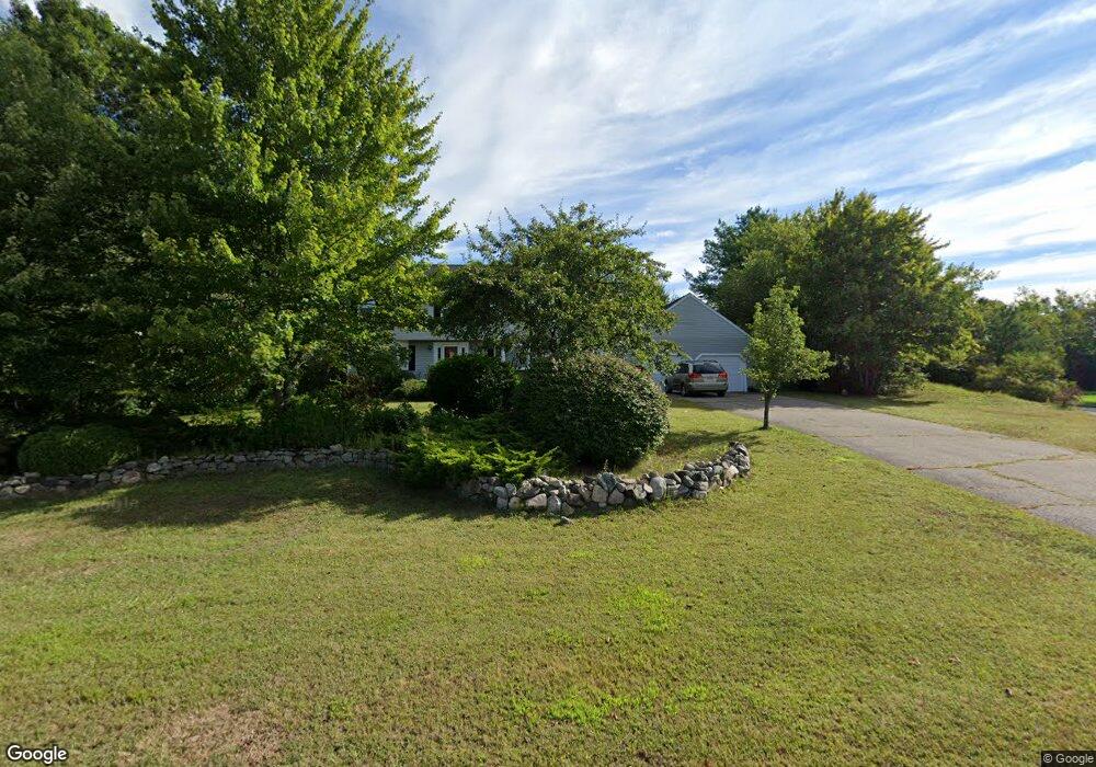
26 Angela Dr Foxboro, MA 02035
Estimated Value: $921,215 - $1,006,000
4
Beds
3
Baths
2,456
Sq Ft
$393/Sq Ft
Est. Value
About This Home
This home is located at 26 Angela Dr, Foxboro, MA 02035 and is currently estimated at $964,304, approximately $392 per square foot. 26 Angela Dr is a home located in Norfolk County with nearby schools including Foxborough High School, St Mary's Catholic School, and Hands-On-Montessori School.
Ownership History
Date
Name
Owned For
Owner Type
Purchase Details
Closed on
Apr 16, 1992
Sold by
Mansfield Coop Bk
Bought by
Dean Steven I
Current Estimated Value
Home Financials for this Owner
Home Financials are based on the most recent Mortgage that was taken out on this home.
Original Mortgage
$162,000
Interest Rate
8.75%
Mortgage Type
Purchase Money Mortgage
Purchase Details
Closed on
Mar 11, 1992
Sold by
Kilroy Robert J Est
Bought by
Mansfield Coop Bk
Home Financials for this Owner
Home Financials are based on the most recent Mortgage that was taken out on this home.
Original Mortgage
$162,000
Interest Rate
8.75%
Mortgage Type
Purchase Money Mortgage
Create a Home Valuation Report for This Property
The Home Valuation Report is an in-depth analysis detailing your home's value as well as a comparison with similar homes in the area
Home Values in the Area
Average Home Value in this Area
Purchase History
| Date | Buyer | Sale Price | Title Company |
|---|---|---|---|
| Dean Steven I | $180,000 | -- | |
| Mansfield Coop Bk | $150,000 | -- |
Source: Public Records
Mortgage History
| Date | Status | Borrower | Loan Amount |
|---|---|---|---|
| Open | Mansfield Coop Bk | $227,000 | |
| Closed | Mansfield Coop Bk | $192,000 | |
| Closed | Mansfield Coop Bk | $162,000 | |
| Closed | Mansfield Coop Bk | $150,000 |
Source: Public Records
Tax History Compared to Growth
Tax History
| Year | Tax Paid | Tax Assessment Tax Assessment Total Assessment is a certain percentage of the fair market value that is determined by local assessors to be the total taxable value of land and additions on the property. | Land | Improvement |
|---|---|---|---|---|
| 2025 | $9,661 | $730,800 | $289,500 | $441,300 |
| 2024 | $9,499 | $703,100 | $294,600 | $408,500 |
| 2023 | $9,119 | $641,700 | $280,800 | $360,900 |
| 2022 | $8,436 | $581,000 | $235,800 | $345,200 |
| 2021 | $8,223 | $557,900 | $218,400 | $339,500 |
| 2020 | $7,963 | $546,500 | $218,400 | $328,100 |
| 2019 | $7,546 | $513,300 | $208,000 | $305,300 |
| 2018 | $7,355 | $504,800 | $208,000 | $296,800 |
| 2017 | $7,088 | $471,300 | $194,400 | $276,900 |
| 2016 | $7,056 | $476,100 | $196,100 | $280,000 |
| 2015 | $6,993 | $460,400 | $166,000 | $294,400 |
| 2014 | $6,653 | $443,800 | $155,200 | $288,600 |
Source: Public Records
Map
Nearby Homes
- 5 Lauren Ln
- 261 East St
- 67 Morse St
- 25 Winter St
- 12 Community Way
- 55-57 Pine Needle Ln
- 619 N Main St
- 44 Angell St Unit 44
- 28 Angell St
- 409 Pratt St
- 60 King St
- 3 Cushing Ln
- 9 Independence Dr Unit 9
- 35 Independence Dr Unit 35
- 82 Brook St
- 99 Pleasant St
- 132 Cannon Forge Dr
- 631 East St Unit H102
- 22 Pleasant St Unit A
- 22 Pleasant St Unit B
- 32A Joanna Dr
- 33A Joanna Dr
- 20 Angela Dr
- 34 Joanna Dr
- 28 Joanna Dr
- 13 Beaumonts Pond Dr
- 35 Joanna Dr
- 31 Joanna Dr
- 17 Angela Dr
- 11 Beaumonts Pond Dr
- 17 Beaumonts Pond Dr
- 16 Angela Dr
- 24 Joanna Dr
- 9 Beaumonts Pond Dr
- 25 Joanna Dr
- 21 Beaumont's Pond Dr
- 14 Beaumonts Pond Dr
- 13 Angela Dr
- 21 Beaumont Pond Rd
- 12 Beaumont's Pond Dr