26 Ashlynn Brook Way Unit 16 Senoia, GA 30276
Estimated Value: $532,288 - $594,000
4
Beds
3
Baths
2,642
Sq Ft
$214/Sq Ft
Est. Value
About This Home
This home is located at 26 Ashlynn Brook Way Unit 16, Senoia, GA 30276 and is currently estimated at $564,822, approximately $213 per square foot. 26 Ashlynn Brook Way Unit 16 is a home located in Coweta County with nearby schools including Moreland Elementary School, Smokey Road Middle School, and East Coweta High School.
Ownership History
Date
Name
Owned For
Owner Type
Purchase Details
Closed on
Jan 6, 2025
Sold by
Hillman Frances Irene
Bought by
Hillman Frances Irene Tr and Hillman Gordan Allen Tr
Current Estimated Value
Purchase Details
Closed on
Mar 30, 2018
Sold by
Jeff Lindsey Communities I
Bought by
Allen Hillman G and Hillman Frances Irene
Home Financials for this Owner
Home Financials are based on the most recent Mortgage that was taken out on this home.
Original Mortgage
$265,496
Interest Rate
4.43%
Mortgage Type
New Conventional
Create a Home Valuation Report for This Property
The Home Valuation Report is an in-depth analysis detailing your home's value as well as a comparison with similar homes in the area
Home Values in the Area
Average Home Value in this Area
Purchase History
| Date | Buyer | Sale Price | Title Company |
|---|---|---|---|
| Hillman Frances Irene Tr | -- | -- | |
| Allen Hillman G | $331,870 | -- |
Source: Public Records
Mortgage History
| Date | Status | Borrower | Loan Amount |
|---|---|---|---|
| Previous Owner | Allen Hillman G | $265,496 |
Source: Public Records
Tax History Compared to Growth
Tax History
| Year | Tax Paid | Tax Assessment Tax Assessment Total Assessment is a certain percentage of the fair market value that is determined by local assessors to be the total taxable value of land and additions on the property. | Land | Improvement |
|---|---|---|---|---|
| 2025 | $3,019 | $204,348 | $38,000 | $166,348 |
| 2024 | $2,986 | $208,252 | $38,000 | $170,252 |
| 2023 | $2,986 | $186,122 | $24,000 | $162,122 |
| 2022 | $2,329 | $153,166 | $24,000 | $129,166 |
| 2021 | $2,049 | $136,537 | $24,000 | $112,537 |
| 2020 | $1,634 | $141,837 | $24,000 | $117,837 |
| 2019 | $1,978 | $109,215 | $22,000 | $87,215 |
| 2018 | $645 | $22,000 | $22,000 | $0 |
| 2017 | $645 | $22,000 | $22,000 | $0 |
Source: Public Records
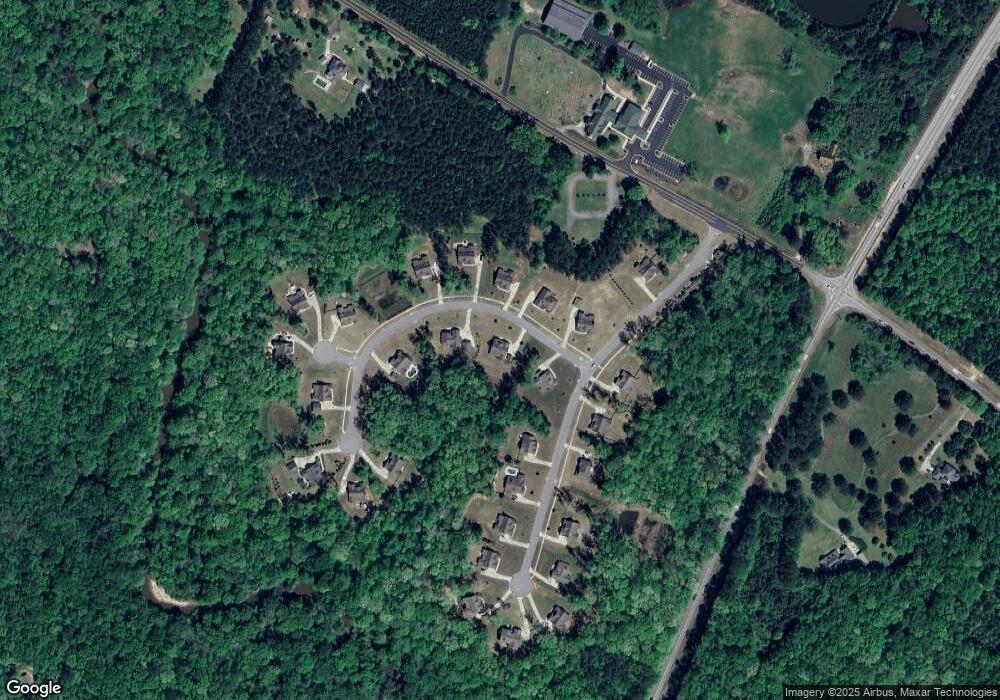
Map
Nearby Homes
- 2725 Gordon Rd
- 2963 Gordon Rd
- 0 Highway 54 Unit 10561313
- 0 Highway 54 Unit 7613124
- 143 Ryeland Dr
- 98 Ryeland Dr
- 136 Ryeland Dr
- 192 Greyfairs Ave
- 152 Bear Creek Rd
- 76 Greyfairs Ave
- 215 Grey Fairs Ave
- 83 Homesite Slick Ct
- 88 Slick Ct
- 1 Slick Ct
- 449 Saddleridge Trail
- Henry II Plan at Saddleridge
- Emerson II Plan at Saddleridge
- Margaret Plan at Saddleridge
- Lauren II Plan at Saddleridge
- Clarity Plan at Saddleridge
- 48 Ashlynn Brook Way
- 14 Ashlynn Brook Way
- 44 Ashlynn Brook Way Unit 15
- 0 Highway 54 and Gordon Rd Unit 7156562
- 0 Gordon Rd Hwy 54 Unit 7317616
- 0 Gordon Rd Hwy 54 Unit 7203479
- 97 Old Bailey Farms Dr Unit 18
- 0 Old Bailey Dr Unit 1 8321796
- 15 Ashlynn Brook Way
- 29 Ashlynn Brook Way Unit 3
- 37 Ashlynn Brook Way Unit 4
- 37 Ashlynn Brook Way
- 92 Old Bailey Farms Dr
- 92 Old Bailey Farms Dr Unit 27
- 47 Ashlynn Brook Way Unit 5
- 114 Ashlynn Brook Way Unit 13
- 76 Old Bailey Farms Dr Unit 28
- 76 Old Bailey Farms Dr
- 68 Old Bailey Farms Dr Unit 29
- 57 Ashlynn Brook Way Unit 6