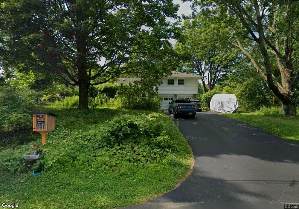
26 Aspinwall Rd Red Hook, NY 12571
Estimated Value: $518,000 - $675,000
3
Beds
2
Baths
1,974
Sq Ft
$294/Sq Ft
Est. Value
About This Home
This home is located at 26 Aspinwall Rd, Red Hook, NY 12571 and is currently estimated at $579,661, approximately $293 per square foot. 26 Aspinwall Rd is a home located in Dutchess County with nearby schools including Mill Road Primary School, Mill Road Intermediate School, and Linden Avenue Middle School.
Ownership History
Date
Name
Owned For
Owner Type
Purchase Details
Closed on
Mar 25, 2022
Sold by
Blakney James E and Preyer Kelly A
Bought by
James B & Kelly Preyer Lt and Blakney
Current Estimated Value
Purchase Details
Closed on
Nov 8, 2021
Sold by
Blakney James E and Preyer Kelly A
Bought by
James Blakney T and James Blakney
Create a Home Valuation Report for This Property
The Home Valuation Report is an in-depth analysis detailing your home's value as well as a comparison with similar homes in the area
Home Values in the Area
Average Home Value in this Area
Purchase History
| Date | Buyer | Sale Price | Title Company |
|---|---|---|---|
| James B & Kelly Preyer Lt | -- | None Available | |
| James Blakney T | -- | None Available |
Source: Public Records
Tax History
| Year | Tax Paid | Tax Assessment Tax Assessment Total Assessment is a certain percentage of the fair market value that is determined by local assessors to be the total taxable value of land and additions on the property. | Land | Improvement |
|---|---|---|---|---|
| 2024 | $9,268 | $486,300 | $86,200 | $400,100 |
| 2023 | $9,634 | $458,800 | $81,300 | $377,500 |
| 2019 | $8,242 | $363,690 | $73,200 | $290,490 |
Source: Public Records
Map
Nearby Homes
- 201 Linden Ave
- 14 Princeton St
- 1 Maizeland Rd
- 10 Phillips St
- 7641 N Broadway
- 84 Rockefeller Ln
- 0 Old Route 199 Unit KEY951706
- 7 Smith St
- 234 W Market St
- 7441 S Broadway
- 7432 S Broadway
- 11 Cambridge Dr
- 33 Thompson St
- 15 Amherst Rd
- 0 Feller Newmark Rd
- 82 Rokeby Rd
- 30 Old Post Rd N
- 155 Metzger Rd
- 26 Birchwood Dr
- 10 Rathbun Rd
Your Personal Tour Guide
Ask me questions while you tour the home.