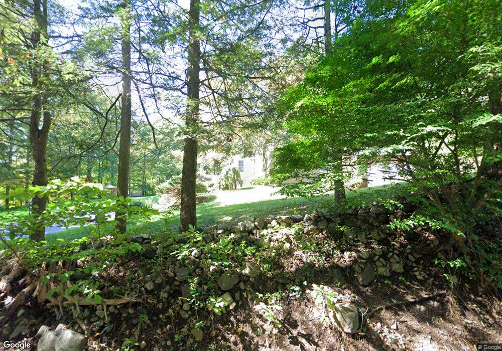
26 Aunt Hack Rd Danbury, CT 06811
Estimated Value: $646,536 - $965,000
4
Beds
3
Baths
2,041
Sq Ft
$360/Sq Ft
Est. Value
About This Home
This home is located at 26 Aunt Hack Rd, Danbury, CT 06811 and is currently estimated at $734,884, approximately $360 per square foot. 26 Aunt Hack Rd is a home located in Fairfield County with nearby schools including Mill Ridge Primary School, Rogers Park Middle School, and Danbury High School.
Ownership History
Date
Name
Owned For
Owner Type
Purchase Details
Closed on
Sep 29, 2000
Sold by
Stockmann Arthur and Stockmann Lynn P
Bought by
Migdol Jeffrey S and Leemigdol Suzanne M
Current Estimated Value
Home Financials for this Owner
Home Financials are based on the most recent Mortgage that was taken out on this home.
Original Mortgage
$150,000
Interest Rate
7.94%
Purchase Details
Closed on
Sep 6, 1996
Sold by
Brill Archie P and Brill Brenda
Bought by
Stockman Arthur J and Stockman Peter J
Home Financials for this Owner
Home Financials are based on the most recent Mortgage that was taken out on this home.
Original Mortgage
$206,400
Interest Rate
8.11%
Mortgage Type
Unknown
Create a Home Valuation Report for This Property
The Home Valuation Report is an in-depth analysis detailing your home's value as well as a comparison with similar homes in the area
Home Values in the Area
Average Home Value in this Area
Purchase History
| Date | Buyer | Sale Price | Title Company |
|---|---|---|---|
| Migdol Jeffrey S | $350,000 | -- | |
| Stockman Arthur J | $258,000 | -- |
Source: Public Records
Mortgage History
| Date | Status | Borrower | Loan Amount |
|---|---|---|---|
| Open | Stockman Arthur J | $250,000 | |
| Closed | Stockman Arthur J | $150,000 | |
| Previous Owner | Stockman Arthur J | $206,400 |
Source: Public Records
Tax History
| Year | Tax Paid | Tax Assessment Tax Assessment Total Assessment is a certain percentage of the fair market value that is determined by local assessors to be the total taxable value of land and additions on the property. | Land | Improvement |
|---|---|---|---|---|
| 2025 | $8,949 | $358,120 | $115,570 | $242,550 |
| 2024 | $8,752 | $358,120 | $115,570 | $242,550 |
| 2023 | $8,355 | $358,120 | $115,570 | $242,550 |
| 2022 | $7,758 | $274,900 | $119,600 | $155,300 |
| 2021 | $7,587 | $274,900 | $119,600 | $155,300 |
| 2020 | $7,587 | $274,900 | $119,600 | $155,300 |
| 2019 | $7,587 | $274,900 | $119,600 | $155,300 |
| 2018 | $7,587 | $274,900 | $119,600 | $155,300 |
| 2017 | $7,093 | $245,000 | $113,800 | $131,200 |
| 2016 | $7,027 | $245,000 | $113,800 | $131,200 |
| 2015 | $6,924 | $245,000 | $113,800 | $131,200 |
| 2014 | $6,762 | $245,000 | $113,800 | $131,200 |
Source: Public Records
Map
Nearby Homes
- 6 Joes Hill Rd
- 34 Lindencrest Dr
- 15 Lindencrest Dr
- 15 Driftway Point Rd
- 24 Greenlawn Dr
- 31 Greenlawn Dr
- 803 Larson Dr Unit 803
- 85 Winding Ridge Way Unit 85
- 55 Mill Plain Rd Unit 17-6
- 22 Driftway Rd
- 23 Putnam Ln Unit 23
- 20 Driftway Rd
- 131 Winding Ridge Way Unit 131
- 40 Middle River Rd
- 148 Middle River Rd
- 1025 Country View Rd Unit 1025
- 57 Old Ridgebury Rd
- 3 Ken Oaks Dr
- 15 Lockwood Dr Unit Lot 51
- 15 Lockwood Dr
- 28-30 Aunt Hack Rd
- 5 Canterbury Ct
- 28 Aunt Hack Rd Unit 30
- 3 Canterbury Ct
- 12 Maplewood Dr
- 27 Aunt Hack Rd
- 14 Maplewood Dr
- 29 Aunt Hack Rd
- 1 Cedar Crest Dr
- 1 Canterbury Ct
- 7 Canterbury Ct
- 32 Aunt Hack Rd
- 21 Aunt Hack Rd
- 2 Birchcrest Dr
- 10 Maplewood Dr
- 16 Maplewood Dr
- 11 Maplewood Dr
- 18 Fir Dr
- 2 Cedar Crest Dr
- 8 Canterbury Ct
Your Personal Tour Guide
Ask me questions while you tour the home.