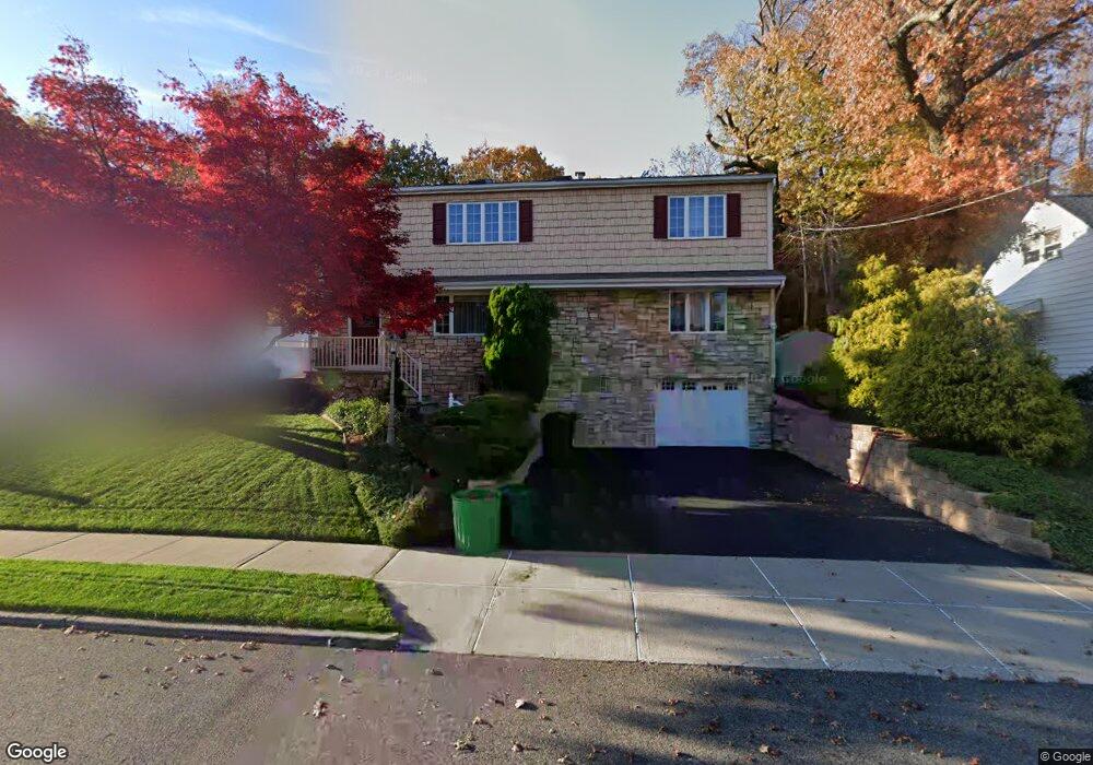
26 Barnert Ave Totowa, NJ 07512
Estimated Value: $667,000 - $747,000
--
Bed
--
Bath
2,029
Sq Ft
$345/Sq Ft
Est. Value
About This Home
This home is located at 26 Barnert Ave, Totowa, NJ 07512 and is currently estimated at $699,814, approximately $344 per square foot. 26 Barnert Ave is a home located in Passaic County with nearby schools including Washington Park Elementary School, Passaic Valley High School, and John P Holland Charter School.
Ownership History
Date
Name
Owned For
Owner Type
Purchase Details
Closed on
Sep 10, 2012
Sold by
Monte Russell S and Monte Nancy D
Bought by
Saleh Jamal and Saleh Lina
Current Estimated Value
Home Financials for this Owner
Home Financials are based on the most recent Mortgage that was taken out on this home.
Original Mortgage
$316,000
Outstanding Balance
$218,659
Interest Rate
3.57%
Mortgage Type
New Conventional
Estimated Equity
$481,155
Purchase Details
Closed on
Jul 12, 1996
Sold by
Messier Lauretta
Bought by
Monte Russell and Monte Nancy
Home Financials for this Owner
Home Financials are based on the most recent Mortgage that was taken out on this home.
Original Mortgage
$158,000
Interest Rate
8.11%
Create a Home Valuation Report for This Property
The Home Valuation Report is an in-depth analysis detailing your home's value as well as a comparison with similar homes in the area
Home Values in the Area
Average Home Value in this Area
Purchase History
| Date | Buyer | Sale Price | Title Company |
|---|---|---|---|
| Saleh Jamal | $420,000 | None Available | |
| Monte Russell | $175,000 | -- |
Source: Public Records
Mortgage History
| Date | Status | Borrower | Loan Amount |
|---|---|---|---|
| Open | Saleh Jamal | $316,000 | |
| Previous Owner | Monte Russell | $158,000 |
Source: Public Records
Tax History Compared to Growth
Tax History
| Year | Tax Paid | Tax Assessment Tax Assessment Total Assessment is a certain percentage of the fair market value that is determined by local assessors to be the total taxable value of land and additions on the property. | Land | Improvement |
|---|---|---|---|---|
| 2025 | $11,386 | $420,000 | $172,500 | $247,500 |
| 2024 | $10,891 | $420,000 | $172,500 | $247,500 |
| 2022 | $10,240 | $420,000 | $172,500 | $247,500 |
| 2021 | $9,992 | $420,000 | $172,500 | $247,500 |
| 2020 | $10,172 | $420,000 | $172,500 | $247,500 |
| 2019 | $10,030 | $420,000 | $172,500 | $247,500 |
| 2018 | $10,009 | $420,000 | $172,500 | $247,500 |
| 2017 | $9,908 | $420,000 | $172,500 | $247,500 |
| 2016 | $9,866 | $420,000 | $172,500 | $247,500 |
| 2015 | $9,593 | $420,000 | $172,500 | $247,500 |
| 2014 | $9,388 | $442,400 | $172,500 | $269,900 |
Source: Public Records
Map
Nearby Homes
- 20 Barnert Ave
- 32 Barnert Ave
- 25 Barnert Ave
- 16 Barnert Ave
- 31 Barnert Ave
- 19 Barnert Ave
- 38 Barnert Ave
- 15 Barnert Ave
- 17 Barnert Ave
- 37 Barnert Ave
- 37 Barnert Ave Unit 1
- 10 Barnert Ave
- 7 Columbus Ave
- 9 Barnert Ave
- 44 Barnert Ave
- 5 Columbus Ave
- 9 Columbus Ave
- 4 Barnert Ave
- 48 Barnert Ave
- 26 Sutton Ave