26 Bauer Rd Newton, NJ 07860
Estimated Value: $393,479 - $584,000
--
Bed
--
Bath
1,096
Sq Ft
$452/Sq Ft
Est. Value
About This Home
This home is located at 26 Bauer Rd, Newton, NJ 07860 and is currently estimated at $495,620, approximately $452 per square foot. 26 Bauer Rd is a home located in Sussex County with nearby schools including Frankford Township School and High Point Regional High School.
Ownership History
Date
Name
Owned For
Owner Type
Purchase Details
Closed on
Feb 11, 2014
Sold by
Johnson Carol A
Bought by
Holdebrandt James Scott
Current Estimated Value
Purchase Details
Closed on
Aug 24, 2006
Sold by
Macfarlane Kathryn L
Bought by
Delimata Victor J
Home Financials for this Owner
Home Financials are based on the most recent Mortgage that was taken out on this home.
Original Mortgage
$188,500
Interest Rate
6.79%
Mortgage Type
Unknown
Purchase Details
Closed on
May 25, 2002
Sold by
Neggia Otto G and Neggia Ruth
Bought by
Macfarlane Kathryn L
Purchase Details
Closed on
Oct 9, 1996
Sold by
Reckenbeil Marie
Bought by
Neggia Otto G and Neggia John F
Home Financials for this Owner
Home Financials are based on the most recent Mortgage that was taken out on this home.
Original Mortgage
$95,000
Interest Rate
8.26%
Create a Home Valuation Report for This Property
The Home Valuation Report is an in-depth analysis detailing your home's value as well as a comparison with similar homes in the area
Home Values in the Area
Average Home Value in this Area
Purchase History
| Date | Buyer | Sale Price | Title Company |
|---|---|---|---|
| Holdebrandt James Scott | -- | Couch Braundary Title Inc | |
| Delimata Victor J | $388,500 | Colonial Title & Abstract Se | |
| Macfarlane Kathryn L | $252,000 | Fidelity National Title Ins | |
| Neggia Otto G | $124,000 | -- |
Source: Public Records
Mortgage History
| Date | Status | Borrower | Loan Amount |
|---|---|---|---|
| Previous Owner | Delimata Victor J | $188,500 | |
| Previous Owner | Neggia Otto G | $95,000 |
Source: Public Records
Tax History Compared to Growth
Tax History
| Year | Tax Paid | Tax Assessment Tax Assessment Total Assessment is a certain percentage of the fair market value that is determined by local assessors to be the total taxable value of land and additions on the property. | Land | Improvement |
|---|---|---|---|---|
| 2025 | $8,526 | $286,700 | $220,100 | $66,600 |
| 2024 | $8,271 | $286,700 | $220,100 | $66,600 |
| 2023 | $8,271 | $286,700 | $220,100 | $66,600 |
| 2022 | $8,071 | $286,700 | $220,100 | $66,600 |
| 2021 | $7,827 | $286,700 | $220,100 | $66,600 |
| 2020 | $7,603 | $286,700 | $220,100 | $66,600 |
| 2019 | $7,388 | $286,700 | $220,100 | $66,600 |
| 2018 | $7,319 | $286,700 | $220,100 | $66,600 |
| 2017 | $7,294 | $286,700 | $220,100 | $66,600 |
| 2016 | $7,385 | $286,700 | $220,100 | $66,600 |
| 2015 | $7,348 | $286,700 | $220,100 | $66,600 |
| 2014 | $7,517 | $286,700 | $220,100 | $66,600 |
Source: Public Records
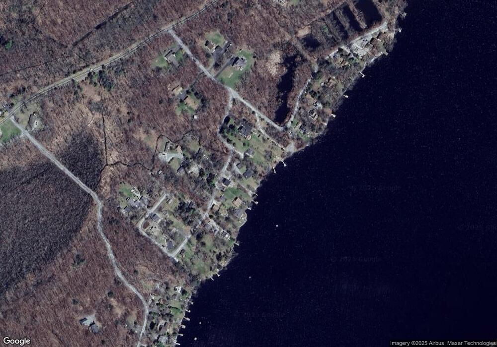
Map
Nearby Homes
- 17 17 West Owassa Tnpk
- 40 Martin Ln
- 196 W Owassa Turnpike
- 1 South Trail
- 26 Mill Ln
- 121 W Shore Dr
- 25 E Shore Lake Owassa Rd
- 68 W Shore Dr
- 19 E Shore Lake Owassa Rd
- 57 E Shore Trail
- 9 Maple Ln
- 95 Woods Rd
- 39 Stehr St
- 4 Woodlawn Ave
- 17 Eastbrook Ln
- 6 Woodlawn Ave
- 90 Kemah Mecca Lake Rd
- 15 Forest St
- 1 Lakeview Point Ave
- 27 Mountain Trail