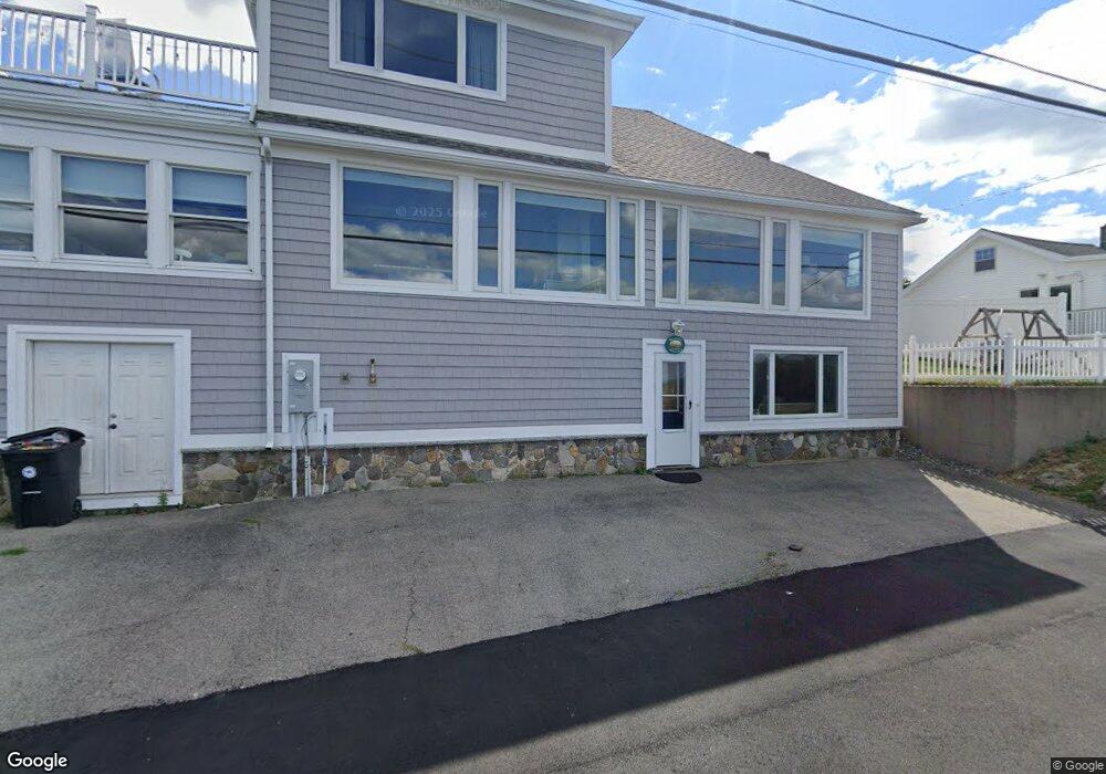
26 Bayview Rd Ipswich, MA 01938
Estimated Value: $1,131,000 - $1,929,000
3
Beds
2
Baths
2,286
Sq Ft
$595/Sq Ft
Est. Value
About This Home
This home is located at 26 Bayview Rd, Ipswich, MA 01938 and is currently estimated at $1,360,522, approximately $595 per square foot. 26 Bayview Rd is a home located in Essex County with nearby schools including Ipswich High School.
Ownership History
Date
Name
Owned For
Owner Type
Purchase Details
Closed on
Sep 20, 2023
Sold by
Phillips Julanne
Bought by
Julanne P Phillips Lt and Phillips
Current Estimated Value
Purchase Details
Closed on
Dec 7, 2009
Sold by
Bryant David H and Bryant Cathy M
Bought by
Phillips Julanne
Purchase Details
Closed on
Apr 25, 2005
Sold by
Faherty Joseph C and Faherty Rosalie A
Bought by
Bryant Cathy M
Purchase Details
Closed on
Apr 28, 1993
Sold by
Berkowitz Rose
Bought by
Bryant David and Bryant Cathy
Create a Home Valuation Report for This Property
The Home Valuation Report is an in-depth analysis detailing your home's value as well as a comparison with similar homes in the area
Home Values in the Area
Average Home Value in this Area
Purchase History
| Date | Buyer | Sale Price | Title Company |
|---|---|---|---|
| Julanne P Phillips Lt | -- | None Available | |
| Phillips Julanne | $645,000 | -- | |
| Bryant Cathy M | -- | -- | |
| Bryant David | $120,000 | -- |
Source: Public Records
Mortgage History
| Date | Status | Borrower | Loan Amount |
|---|---|---|---|
| Previous Owner | Bryant David | $498,000 | |
| Previous Owner | Bryant David | $505,000 |
Source: Public Records
Tax History
| Year | Tax Paid | Tax Assessment Tax Assessment Total Assessment is a certain percentage of the fair market value that is determined by local assessors to be the total taxable value of land and additions on the property. | Land | Improvement |
|---|---|---|---|---|
| 2025 | $11,485 | $1,030,000 | $537,800 | $492,200 |
| 2024 | $10,773 | $946,700 | $538,800 | $407,900 |
| 2023 | $11,205 | $916,200 | $506,100 | $410,100 |
| 2022 | $10,581 | $822,800 | $453,900 | $368,900 |
| 2021 | $10,145 | $767,400 | $424,500 | $342,900 |
| 2020 | $10,181 | $726,200 | $435,900 | $290,300 |
| 2019 | $10,097 | $716,600 | $432,600 | $284,000 |
| 2018 | $9,875 | $693,500 | $424,500 | $269,000 |
| 2017 | $9,565 | $674,100 | $411,400 | $262,700 |
| 2016 | $9,703 | $653,400 | $411,400 | $242,000 |
| 2015 | $8,827 | $653,400 | $411,400 | $242,000 |
Source: Public Records
Map
Nearby Homes
- 63 N Ridge Rd
- 123 Jeffreys Neck Rd
- 23 Jeffrey's Neck Rd
- 57 East St
- 29 Summer St Unit 15
- 2 Heartbreak Hill
- 5 Primrose Ln Unit 5
- 64 County Rd Unit 1
- 11 Washington St Unit 11
- 11 Washington St Unit 8
- 11 Washington St Unit 7
- 11 Washington St Unit 5
- 11 Washington St Unit 4
- 1 River Ct
- 59 Washington St
- 126-128 High St Unit 7
- 8 Cleveland Ave
- 38 Kimball Ave Unit 7
- 32 Broadway Ave
- 9 Ryan Ave
Your Personal Tour Guide
Ask me questions while you tour the home.