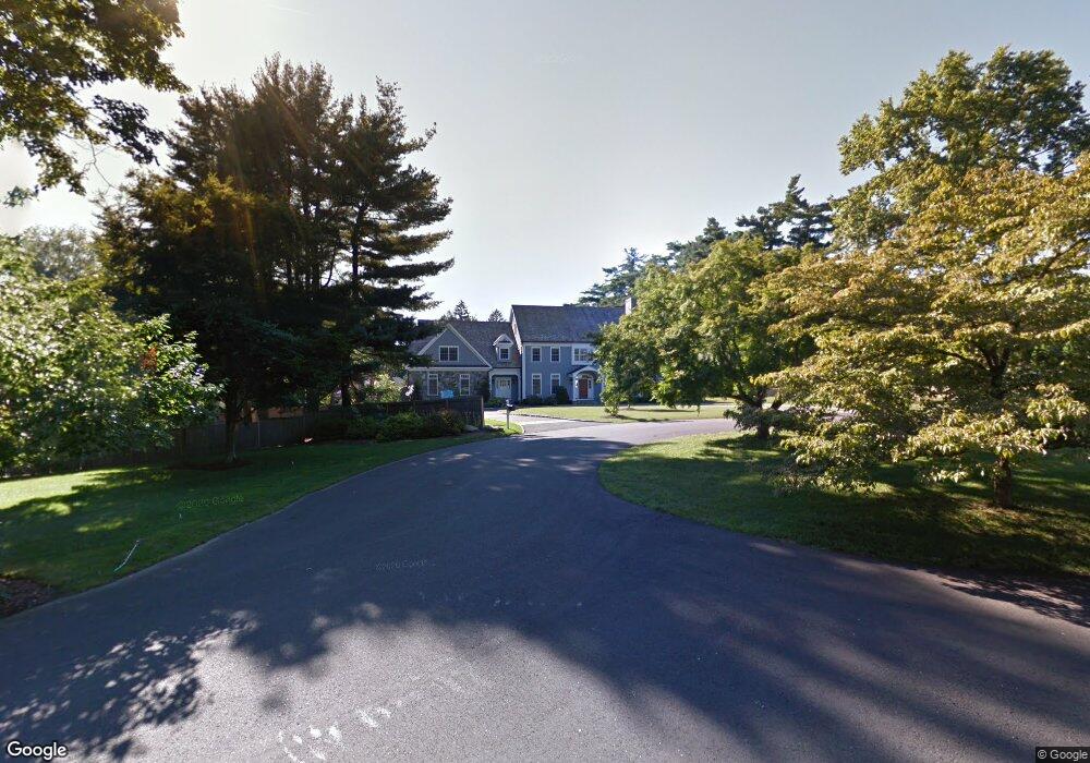
26 Bittersweet Ln Darien, CT 06820
Estimated Value: $4,437,528 - $5,939,000
6
Beds
8
Baths
6,738
Sq Ft
$777/Sq Ft
Est. Value
About This Home
This home is located at 26 Bittersweet Ln, Darien, CT 06820 and is currently estimated at $5,232,176, approximately $776 per square foot. 26 Bittersweet Ln is a home located in Fairfield County with nearby schools including Holmes Elementary School, Middlesex Middle School, and Darien High School.
Ownership History
Date
Name
Owned For
Owner Type
Purchase Details
Closed on
Jan 7, 2010
Sold by
26 Bittersweet Lane Ll
Bought by
Leone Christopher M and Leone Cris Mary
Current Estimated Value
Home Financials for this Owner
Home Financials are based on the most recent Mortgage that was taken out on this home.
Original Mortgage
$1,100,000
Interest Rate
3.75%
Create a Home Valuation Report for This Property
The Home Valuation Report is an in-depth analysis detailing your home's value as well as a comparison with similar homes in the area
Home Values in the Area
Average Home Value in this Area
Purchase History
| Date | Buyer | Sale Price | Title Company |
|---|---|---|---|
| Leone Christopher M | $3,131,062 | -- |
Source: Public Records
Mortgage History
| Date | Status | Borrower | Loan Amount |
|---|---|---|---|
| Open | Leone Christopher M | $1,060,000 | |
| Closed | Leone Christopher M | $1,100,000 | |
| Previous Owner | Leone Christopher M | $2,560,000 |
Source: Public Records
Tax History Compared to Growth
Tax History
| Year | Tax Paid | Tax Assessment Tax Assessment Total Assessment is a certain percentage of the fair market value that is determined by local assessors to be the total taxable value of land and additions on the property. | Land | Improvement |
|---|---|---|---|---|
| 2025 | $44,839 | $2,896,600 | $947,100 | $1,949,500 |
| 2024 | $42,551 | $2,896,600 | $947,100 | $1,949,500 |
| 2023 | $44,112 | $2,504,950 | $608,020 | $1,896,930 |
| 2022 | $43,160 | $2,504,950 | $608,020 | $1,896,930 |
| 2021 | $42,183 | $2,504,950 | $608,020 | $1,896,930 |
| 2020 | $40,981 | $2,504,950 | $608,020 | $1,896,930 |
| 2019 | $41,257 | $2,504,950 | $608,020 | $1,896,930 |
| 2018 | $33,101 | $2,058,490 | $611,590 | $1,446,900 |
| 2017 | $33,265 | $2,058,490 | $611,590 | $1,446,900 |
| 2016 | $32,462 | $2,058,490 | $611,590 | $1,446,900 |
| 2015 | $31,598 | $2,058,490 | $611,590 | $1,446,900 |
| 2014 | $30,898 | $2,058,490 | $611,590 | $1,446,900 |
Source: Public Records
Map
Nearby Homes
- 76 Deepwood Rd
- 261 Hollow Tree Ridge Rd
- 30 Lake Dr
- 415 West Ave
- 98 Holmes Ave
- 88 Maple Tree Ave Unit G
- 311 Noroton Ave
- 19 William St
- 69 Maple Tree Ave Unit 4
- 30 Maple Tree Ave Unit D
- 333 West Ave Unit 3
- 825 Hope St Unit 4
- 11 Old Oak Rd
- 35 Maple Tree Ave Unit 6
- 31 Chatfield St
- 596 Glenbrook Rd Unit 36
- 166 Hollow Tree Ridge Rd
- 406 Courtland Ave Unit D
- 910 Hope St Unit 5B
- 900 Hope St Unit 8C
- 54 Christie Hill Rd
- 56 Christie Hill Rd
- 20 Bittersweet Ln
- 27 Bittersweet Ln
- 11 Hillcrest Ave
- 13 Hillcrest Ave
- 46 Christie Hill Rd
- 25 Bittersweet Ln
- 86 Greenleaf Ave
- 44 Christie Hill Rd
- 6 Hillcrest Ave
- 10 Hillcrest Ave
- 19 Bittersweet Ln
- 49 Christie Hill Rd
- 16 Bittersweet Ln
- 12 Hillcrest Ave
- 45 Christie Hill Rd
- 42 Christie Hill Rd
- 8 Homestead Rd
- 17 Hillcrest Ave