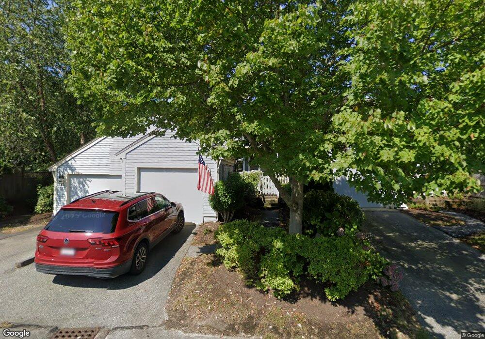
26 Blueberry Path Unit P Yarmouth Port, MA 02675
Yarmouth Port NeighborhoodEstimated Value: $439,000 - $528,000
2
Beds
2
Baths
1,252
Sq Ft
$395/Sq Ft
Est. Value
About This Home
This home is located at 26 Blueberry Path Unit P, Yarmouth Port, MA 02675 and is currently estimated at $494,585, approximately $395 per square foot. 26 Blueberry Path Unit P is a home located in Barnstable County with nearby schools including Dennis-Yarmouth Regional High School.
Ownership History
Date
Name
Owned For
Owner Type
Purchase Details
Closed on
Mar 10, 2025
Sold by
Karelitz James A Est and Karelitz
Bought by
Maceachern Nancy
Current Estimated Value
Purchase Details
Closed on
Dec 16, 2021
Sold by
Larocque Robert C Est and Larocque
Bought by
Zarelitz James A
Home Financials for this Owner
Home Financials are based on the most recent Mortgage that was taken out on this home.
Original Mortgage
$230,000
Interest Rate
3.09%
Mortgage Type
Purchase Money Mortgage
Create a Home Valuation Report for This Property
The Home Valuation Report is an in-depth analysis detailing your home's value as well as a comparison with similar homes in the area
Home Values in the Area
Average Home Value in this Area
Purchase History
| Date | Buyer | Sale Price | Title Company |
|---|---|---|---|
| Maceachern Nancy | $500,000 | None Available | |
| Zarelitz James A | $380,000 | None Available |
Source: Public Records
Mortgage History
| Date | Status | Borrower | Loan Amount |
|---|---|---|---|
| Previous Owner | Zarelitz James A | $230,000 |
Source: Public Records
Tax History Compared to Growth
Tax History
| Year | Tax Paid | Tax Assessment Tax Assessment Total Assessment is a certain percentage of the fair market value that is determined by local assessors to be the total taxable value of land and additions on the property. | Land | Improvement |
|---|---|---|---|---|
| 2025 | $3,508 | $495,500 | $0 | $495,500 |
| 2024 | $3,522 | $477,200 | $0 | $477,200 |
| 2023 | $3,231 | $398,400 | $0 | $398,400 |
| 2022 | $3,151 | $343,300 | $0 | $343,300 |
| 2021 | $3,064 | $320,500 | $0 | $320,500 |
| 2020 | $3,091 | $309,100 | $0 | $309,100 |
| 2019 | $2,895 | $286,600 | $0 | $286,600 |
| 2018 | $2,719 | $264,200 | $0 | $264,200 |
| 2017 | $2,535 | $253,000 | $0 | $253,000 |
| 2016 | $2,413 | $241,800 | $0 | $241,800 |
| 2015 | $2,445 | $243,500 | $0 | $243,500 |
Source: Public Records
Map
Nearby Homes
- 2 Pine Grove
- 25 Oak Glen
- 25 Oak Glen Village Unit 25
- 28 Oak Glen
- 7 Forest Gate Unit 7
- 21 Boxwood Cir
- 30 W Woods Cir Unit 30
- 30 W Woods
- 158 Kates Path
- 43 Canterbury Rd
- 17 Kates Path Unit A
- 228 Kates Path
- 1 Barnacle Rd
- 34 Kates Path
- 34 Kates Path Unit 34
- 64 Kates Path
- 44 Stratford Ln
- 24 Minnetuxet Way
- 50 John Hall Cartway
- 50 John Hall Cartway Unit 50
- 42 Blueberry Path Unit N
- 42 Blueberry Path
- 36 Blueberry Path
- 32 Blueberry Path
- 23 Blueberry Path
- 22 Blueberry Path
- 11 Blueberry Path
- 10 Blueberry Path
- 8 Blueberry Path
- 7 Blueberry Path
- 6 Blueberry Path
- 11 Blueberry Path Unit I
- 7 Blueberry Path Unit H
- 32 Blueberry Path Unit 32
- 32 Blueberry Path Unit O
- 36 Blueberry Path Unit N
- 22 Blueberry Path Unit O
- 23 Blueberry Path Unit D
- 10 Blueberry Path Unit H
- 48 Blueberry Path