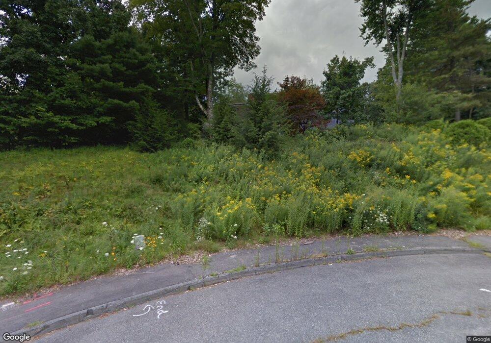
26 Boyd Cir Marlborough, MA 01752
Estimated Value: $979,863 - $1,075,000
4
Beds
3
Baths
4,200
Sq Ft
$246/Sq Ft
Est. Value
About This Home
This home is located at 26 Boyd Cir, Marlborough, MA 01752 and is currently estimated at $1,034,716, approximately $246 per square foot. 26 Boyd Cir is a home located in Middlesex County with nearby schools including Marlborough High School, New Covenant Christian School, and Darnell School For Educational & Behavioral Service.
Ownership History
Date
Name
Owned For
Owner Type
Purchase Details
Closed on
Nov 16, 2010
Sold by
Cucinotta Peter and Cucinotta Donna
Bought by
Cucinotta Peter F
Current Estimated Value
Home Financials for this Owner
Home Financials are based on the most recent Mortgage that was taken out on this home.
Original Mortgage
$239,200
Outstanding Balance
$158,463
Interest Rate
4.35%
Mortgage Type
Purchase Money Mortgage
Estimated Equity
$876,253
Purchase Details
Closed on
Oct 1, 2001
Sold by
Janeczed Jane E
Bought by
Cucinotta Peter and Cucinotta Donna
Home Financials for this Owner
Home Financials are based on the most recent Mortgage that was taken out on this home.
Original Mortgage
$275,000
Interest Rate
6.91%
Mortgage Type
Purchase Money Mortgage
Create a Home Valuation Report for This Property
The Home Valuation Report is an in-depth analysis detailing your home's value as well as a comparison with similar homes in the area
Home Values in the Area
Average Home Value in this Area
Purchase History
| Date | Buyer | Sale Price | Title Company |
|---|---|---|---|
| Cucinotta Peter F | -- | -- | |
| Cucinotta Peter | $460,000 | -- |
Source: Public Records
Mortgage History
| Date | Status | Borrower | Loan Amount |
|---|---|---|---|
| Open | Cucinotta Peter F | $239,200 | |
| Previous Owner | Cucinotta Peter | $275,000 |
Source: Public Records
Tax History Compared to Growth
Tax History
| Year | Tax Paid | Tax Assessment Tax Assessment Total Assessment is a certain percentage of the fair market value that is determined by local assessors to be the total taxable value of land and additions on the property. | Land | Improvement |
|---|---|---|---|---|
| 2025 | $8,886 | $901,200 | $253,500 | $647,700 |
| 2024 | $8,513 | $831,300 | $230,600 | $600,700 |
| 2023 | $8,370 | $725,300 | $190,600 | $534,700 |
| 2022 | $8,075 | $615,500 | $181,900 | $433,600 |
| 2021 | $6,912 | $589,700 | $152,300 | $437,400 |
| 2020 | $8,000 | $564,200 | $145,300 | $418,900 |
| 2019 | $7,729 | $549,300 | $142,700 | $406,600 |
| 2018 | $7,834 | $535,500 | $131,800 | $403,700 |
| 2017 | $8,141 | $531,400 | $134,000 | $397,400 |
| 2016 | $8,081 | $526,800 | $134,000 | $392,800 |
| 2015 | $8,329 | $528,500 | $144,600 | $383,900 |
Source: Public Records
Map
Nearby Homes
- 230 Miles Standish Dr
- 19 Boyd Cir
- 10 Boyd Cir
- 3 Girard St
- 15 Girard St
- 229 Miles Standish Dr
- 209 Naugler Ave
- 231 Naugler Ave
- 25 Girard St
- 217 Miles Standish Dr
- 249 Naugler Ave
- 39 Girard St
- 127 Stacey Rd
- 205 Miles Standish Dr
- 208 Naugler Ave
- 196 Miles Standish Dr
- 261 Naugler Ave
- 228 Naugler Ave
- 24 Girard St
- 126 Crosby Rd
