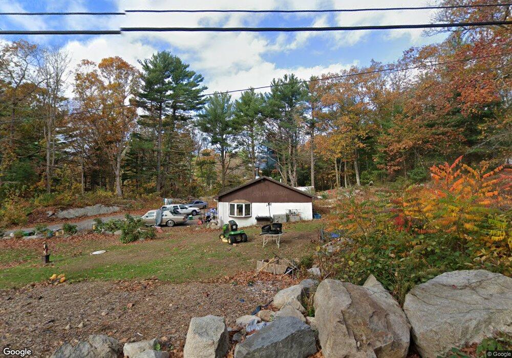
26 Bray St Gloucester, MA 01930
West Gloucester NeighborhoodEstimated Value: $481,000 - $732,000
2
Beds
1
Bath
960
Sq Ft
$628/Sq Ft
Est. Value
About This Home
This home is located at 26 Bray St, Gloucester, MA 01930 and is currently estimated at $602,578, approximately $627 per square foot. 26 Bray St is a home located in Essex County with nearby schools including West Parish, Ralph B O'maley Middle School, and Gloucester High School.
Ownership History
Date
Name
Owned For
Owner Type
Purchase Details
Closed on
Nov 8, 1996
Sold by
Roberts R Leslie
Bought by
Taormina Nicolo S and Taormina Pamela A
Current Estimated Value
Home Financials for this Owner
Home Financials are based on the most recent Mortgage that was taken out on this home.
Original Mortgage
$57,000
Outstanding Balance
$5,622
Interest Rate
8.1%
Mortgage Type
Purchase Money Mortgage
Estimated Equity
$596,956
Create a Home Valuation Report for This Property
The Home Valuation Report is an in-depth analysis detailing your home's value as well as a comparison with similar homes in the area
Home Values in the Area
Average Home Value in this Area
Purchase History
| Date | Buyer | Sale Price | Title Company |
|---|---|---|---|
| Taormina Nicolo S | $76,000 | -- |
Source: Public Records
Mortgage History
| Date | Status | Borrower | Loan Amount |
|---|---|---|---|
| Open | Taormina Nicolo S | $57,000 |
Source: Public Records
Tax History
| Year | Tax Paid | Tax Assessment Tax Assessment Total Assessment is a certain percentage of the fair market value that is determined by local assessors to be the total taxable value of land and additions on the property. | Land | Improvement |
|---|---|---|---|---|
| 2025 | $4,468 | $459,700 | $235,100 | $224,600 |
| 2024 | $4,329 | $444,900 | $223,900 | $221,000 |
| 2023 | $4,315 | $407,500 | $199,800 | $207,700 |
| 2022 | $4,143 | $353,200 | $173,800 | $179,400 |
| 2021 | $4,133 | $332,200 | $158,200 | $174,000 |
| 2020 | $3,846 | $311,900 | $158,200 | $153,700 |
| 2019 | $3,793 | $298,900 | $158,200 | $140,700 |
| 2018 | $3,723 | $287,900 | $158,200 | $129,700 |
| 2017 | $3,662 | $277,600 | $150,600 | $127,000 |
| 2016 | $3,579 | $263,000 | $157,200 | $105,800 |
| 2015 | $3,579 | $262,200 | $157,200 | $105,000 |
Source: Public Records
Map
Nearby Homes
- 7 Leaman Dr
- 587 Essex Ave
- 15 Lufkin Point Rd
- 368 Essex Ave
- 5 Samoset Rd Unit B
- 167 Atlantic St
- 178 Atlantic St
- 162 Main St
- 145 Main St Unit 1
- 145 Main St Unit 4
- 90 Southern Ave Unit 90
- 5 Lepage Ln
- 24 Cobblestone Ln Unit 603
- 226 Atlantic St
- 145 Essex Ave Unit 402
- 13 Honeysuckle Rd
- 2 Breezy Point Rd
- 34 & 34R Pickering St
- 3 Deacon Farm Ln
- 3 Rockland St
Your Personal Tour Guide
Ask me questions while you tour the home.