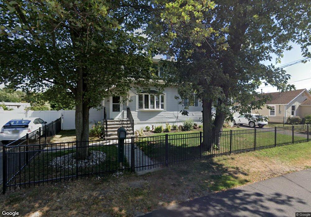
26 Brown Ave Hazlet, NJ 07730
Estimated Value: $462,000 - $700,060
5
Beds
3
Baths
3,102
Sq Ft
$204/Sq Ft
Est. Value
About This Home
This home is located at 26 Brown Ave, Hazlet, NJ 07730 and is currently estimated at $631,265, approximately $203 per square foot. 26 Brown Ave is a home located in Monmouth County with nearby schools including Raritan High School, Baytul-Iman Academy, and St. Ann School.
Ownership History
Date
Name
Owned For
Owner Type
Purchase Details
Closed on
May 6, 2009
Sold by
Brennan Thomas and Brennan Patricia
Bought by
Brennan Andrew and Brennan Jennifer
Current Estimated Value
Home Financials for this Owner
Home Financials are based on the most recent Mortgage that was taken out on this home.
Original Mortgage
$200,000
Interest Rate
4.87%
Mortgage Type
Purchase Money Mortgage
Create a Home Valuation Report for This Property
The Home Valuation Report is an in-depth analysis detailing your home's value as well as a comparison with similar homes in the area
Home Values in the Area
Average Home Value in this Area
Purchase History
| Date | Buyer | Sale Price | Title Company |
|---|---|---|---|
| Brennan Andrew | $250,000 | Avalon Title Agency Llc |
Source: Public Records
Mortgage History
| Date | Status | Borrower | Loan Amount |
|---|---|---|---|
| Closed | Brennan Andrew | $200,000 |
Source: Public Records
Tax History Compared to Growth
Tax History
| Year | Tax Paid | Tax Assessment Tax Assessment Total Assessment is a certain percentage of the fair market value that is determined by local assessors to be the total taxable value of land and additions on the property. | Land | Improvement |
|---|---|---|---|---|
| 2025 | $10,282 | $536,000 | $265,000 | $271,000 |
| 2024 | $10,166 | $488,900 | $231,000 | $257,900 |
| 2023 | $10,166 | $475,700 | $220,000 | $255,700 |
| 2022 | $9,519 | $408,000 | $178,500 | $229,500 |
| 2021 | $9,519 | $371,100 | $167,000 | $204,100 |
| 2020 | $9,360 | $362,500 | $163,000 | $199,500 |
| 2019 | $9,139 | $348,400 | $150,000 | $198,400 |
| 2018 | $8,837 | $334,100 | $145,000 | $189,100 |
| 2017 | $8,453 | $319,600 | $136,700 | $182,900 |
| 2016 | $8,300 | $315,000 | $136,700 | $178,300 |
| 2015 | $8,157 | $310,400 | $136,700 | $173,700 |
| 2014 | $7,865 | $280,700 | $115,000 | $165,700 |
Source: Public Records
Map
Nearby Homes
- 66 Bayshore Mobile Manor
- 53 Bayshore Mobile Manor
- 32 Bayshore Mobile Manor
- 26 Bayshore Mobile Manor
- 330 State Route 36
- 115 10th St
- 115 10th St Unit 11-113
- 203 S Park Ave
- 5 Justin Ct Unit 96
- 5 Justin Ct
- 158 9th St
- 1 Robin Rd
- 10 Robin
- 46 Randall Ave
- 30 Randall Ave Unit 63
- 32 Randall Ave Unit 65
- 125 6th St
- 34 Randall Ave Unit 67
- 261 State Route 36
- 17 Gary Ave
- 30 Brown Ave
- 24 Brown Ave
- 24 Brown Ave
- 24 Brown Ave
- 29 Brown Ave
- 25 Brown Ave
- 34 Brown Ave
- 18 Brown Ave
- 33 Brown Ave
- 10 Bayshore Mobile Manor
- 19 Brown Ave
- 11 Locust Grove
- 21 Locust Grove
- 5 Locust Grove
- 23 Locust Grove
- 40 Brown Ave
- 16 Bayshore Mobile Manor Unit A
- 16 Bayshore Mobile Manor
- 12 Bayshore Mobile Manor
- 9 Bayshore Mobile Manor