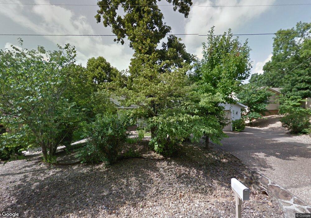
26 Burnham Dr Bella Vista, AR 72715
Estimated Value: $378,000 - $429,000
3
Beds
3
Baths
2,460
Sq Ft
$167/Sq Ft
Est. Value
About This Home
This home is located at 26 Burnham Dr, Bella Vista, AR 72715 and is currently estimated at $409,933, approximately $166 per square foot. 26 Burnham Dr is a home located in Benton County with nearby schools including Cooper Elementary School, Old High Middle School, and Washington Junior High School.
Ownership History
Date
Name
Owned For
Owner Type
Purchase Details
Closed on
Mar 12, 1997
Bought by
Maas Tr
Current Estimated Value
Purchase Details
Closed on
Mar 7, 1997
Bought by
Maas Rev Trust
Purchase Details
Closed on
Sep 5, 1995
Bought by
Maas
Purchase Details
Closed on
Nov 20, 1992
Bought by
Pastrick
Purchase Details
Closed on
Oct 15, 1990
Bought by
Lansberry Tr
Purchase Details
Closed on
Oct 3, 1990
Bought by
Lansberry Family Trust
Purchase Details
Closed on
Oct 1, 1973
Bought by
Lansberry
Create a Home Valuation Report for This Property
The Home Valuation Report is an in-depth analysis detailing your home's value as well as a comparison with similar homes in the area
Home Values in the Area
Average Home Value in this Area
Purchase History
| Date | Buyer | Sale Price | Title Company |
|---|---|---|---|
| Maas Tr | -- | -- | |
| Maas Rev Trust | -- | -- | |
| Maas | $143,000 | -- | |
| Pastrick | $2,000 | -- | |
| Bob Bowman Hms | $2,000 | -- | |
| Lansberry Tr | -- | -- | |
| Lansberry Family Trust | -- | -- | |
| Lansberry | $6,000 | -- |
Source: Public Records
Tax History Compared to Growth
Tax History
| Year | Tax Paid | Tax Assessment Tax Assessment Total Assessment is a certain percentage of the fair market value that is determined by local assessors to be the total taxable value of land and additions on the property. | Land | Improvement |
|---|---|---|---|---|
| 2025 | $3,044 | $70,798 | $1,600 | $69,198 |
| 2024 | $2,762 | $70,798 | $1,600 | $69,198 |
| 2023 | $2,510 | $46,370 | $800 | $45,570 |
| 2022 | $2,392 | $46,370 | $800 | $45,570 |
| 2021 | $2,187 | $46,370 | $800 | $45,570 |
| 2020 | $2,007 | $31,500 | $600 | $30,900 |
| 2019 | $1,951 | $31,500 | $600 | $30,900 |
| 2018 | $1,801 | $31,500 | $600 | $30,900 |
| 2017 | $1,094 | $31,500 | $600 | $30,900 |
| 2016 | $1,094 | $31,500 | $600 | $30,900 |
| 2015 | $1,420 | $28,460 | $1,000 | $27,460 |
| 2014 | $1,070 | $28,460 | $1,000 | $27,460 |
Source: Public Records
Map
Nearby Homes
- 17 Burnham Dr
- 30 Cromer Dr
- 26 Cromer Dr
- 1 Thetford Dr
- 50 Thaxted Dr
- Lot 8 Thaxted Dr
- Lot 12 Thaxted Dr
- 18 Gillingham Dr
- 29 Gillingham Dr
- 0 Porlock Ln
- TBD Porlock Ln
- Lot 17 Block 1 Oak Knoll Ln
- Lot 3, Block 3 Bridgeport Ln
- 6 Neffwood Ln
- 2 Purfleet Dr
- Lot 3 of Block 1 Ryde Ln
- Lot 4 of Block 1 Ryde Ln
- Lot 5 Neffwood Ln
- Lot 9 Swanage Dr
- Lot 14 of Block 4 Heather Cir
- 26 Burnham Dr
- 28 Burnham Dr
- Lot 23 Block 7 Burnham Dr
- 25 Burnham Dr
- 23 Burnham Dr
- 21 Burnham Dr
- 20 Burnham Dr
- 19 Burnham Dr
- 0 Burnham Dr
- Lot 27 Burnham Dr
- -- Burnham Dr L23
- O N Burnham Dr
- 16 Burnham Dr
- Lot 32 Burnham Dr
- 3405 Burnham Dr
- 15097 Burnham Dr
- 2005 Burnham Dr
- 13 Burnham Dr
- 33 Burnham Dr
- 9 Wafton Ln