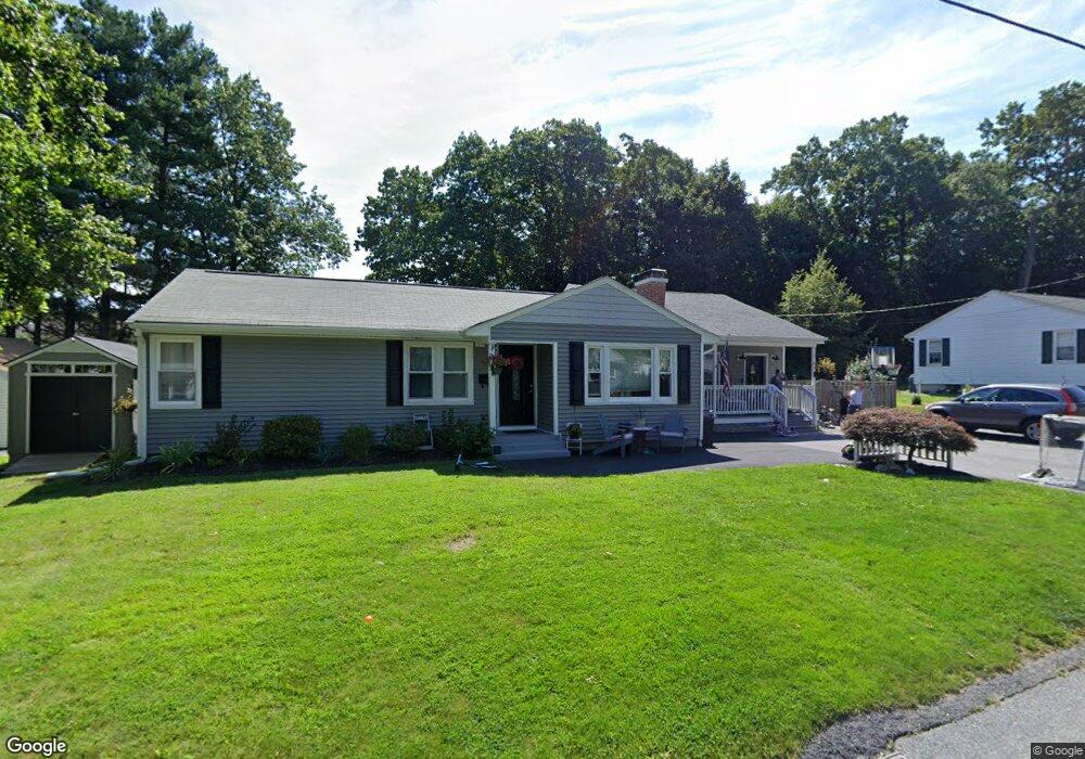
26 Carol Dr West Boylston, MA 01583
Estimated Value: $460,000 - $567,000
3
Beds
1
Bath
1,036
Sq Ft
$488/Sq Ft
Est. Value
About This Home
This home is located at 26 Carol Dr, West Boylston, MA 01583 and is currently estimated at $505,166, approximately $487 per square foot. 26 Carol Dr is a home located in Worcester County with nearby schools including Major Edwards Elementary School, West Boylston Junior/Senior High School, and Abby Kelley Foster Charter Public School.
Ownership History
Date
Name
Owned For
Owner Type
Purchase Details
Closed on
Mar 25, 2021
Sold by
Figueiredo Karen E and Figueiredo Mario
Bought by
Figueiredo Mario and Figueiredo Karen E
Current Estimated Value
Home Financials for this Owner
Home Financials are based on the most recent Mortgage that was taken out on this home.
Original Mortgage
$300,300
Outstanding Balance
$269,504
Interest Rate
2.9%
Mortgage Type
New Conventional
Estimated Equity
$235,662
Purchase Details
Closed on
Dec 1, 2006
Sold by
Triola Joseph F Est and Shumway
Bought by
Anastas Karen E and Figueiredo Mario
Home Financials for this Owner
Home Financials are based on the most recent Mortgage that was taken out on this home.
Original Mortgage
$240,000
Interest Rate
6.36%
Mortgage Type
Purchase Money Mortgage
Create a Home Valuation Report for This Property
The Home Valuation Report is an in-depth analysis detailing your home's value as well as a comparison with similar homes in the area
Home Values in the Area
Average Home Value in this Area
Purchase History
| Date | Buyer | Sale Price | Title Company |
|---|---|---|---|
| Figueiredo Mario | -- | None Available | |
| Anastas Karen E | $240,000 | -- | |
| Anastas Karen E | $240,000 | -- |
Source: Public Records
Mortgage History
| Date | Status | Borrower | Loan Amount |
|---|---|---|---|
| Open | Figueiredo Mario | $300,300 | |
| Previous Owner | Anastas Karen E | $232,800 | |
| Previous Owner | Anastas Karen E | $240,000 |
Source: Public Records
Tax History Compared to Growth
Tax History
| Year | Tax Paid | Tax Assessment Tax Assessment Total Assessment is a certain percentage of the fair market value that is determined by local assessors to be the total taxable value of land and additions on the property. | Land | Improvement |
|---|---|---|---|---|
| 2025 | $59 | $425,000 | $88,500 | $336,500 |
| 2024 | $5,715 | $386,700 | $88,500 | $298,200 |
| 2023 | $5,807 | $372,700 | $88,000 | $284,700 |
| 2022 | $5,426 | $306,900 | $88,000 | $218,900 |
| 2021 | $5,239 | $283,800 | $83,500 | $200,300 |
| 2020 | $5,141 | $276,700 | $83,500 | $193,200 |
| 2019 | $4,799 | $254,600 | $83,500 | $171,100 |
| 2018 | $4,573 | $244,300 | $83,500 | $160,800 |
| 2017 | $4,038 | $214,800 | $83,500 | $131,300 |
| 2016 | $3,369 | $182,600 | $77,600 | $105,000 |
| 2015 | $3,107 | $169,400 | $76,800 | $92,600 |
Source: Public Records
Map
Nearby Homes
- 39 Davidson Rd
- 1 Highland Ave
- 62 Maple St
- 12 Birchbrush Ln
- 54 Maple St
- 152 Worcester St Unit 8
- 33 Meola Ave
- 39 Meola Ave
- 33 Isleboro St
- 740 Burncoat St Unit B
- 29 Isleboro St
- 156 Prospect St
- 1110 W Boylston St Unit A
- 1097 W Boylston St
- 44 Dixfield St
- 156 Hillside Village Dr
- 22 Danielles Way
- 26 Danielles Way
- 31 Danielles Way
- 83 Hillside Village Dr