26 Cedar Cove Ln Swansea, MA 02777
South Swansea NeighborhoodEstimated Value: $503,000 - $658,000
2
Beds
3
Baths
1,720
Sq Ft
$336/Sq Ft
Est. Value
About This Home
This home is located at 26 Cedar Cove Ln, Swansea, MA 02777 and is currently estimated at $578,644, approximately $336 per square foot. 26 Cedar Cove Ln is a home located in Bristol County with nearby schools including Joseph Case High School and Swansea Wood School.
Ownership History
Date
Name
Owned For
Owner Type
Purchase Details
Closed on
Sep 26, 2016
Sold by
Castro Russell and Castro Doreen
Bought by
Rapoza-Boland Jennifer L
Current Estimated Value
Home Financials for this Owner
Home Financials are based on the most recent Mortgage that was taken out on this home.
Original Mortgage
$240,000
Outstanding Balance
$192,344
Interest Rate
3.45%
Mortgage Type
New Conventional
Estimated Equity
$386,300
Create a Home Valuation Report for This Property
The Home Valuation Report is an in-depth analysis detailing your home's value as well as a comparison with similar homes in the area
Home Values in the Area
Average Home Value in this Area
Purchase History
| Date | Buyer | Sale Price | Title Company |
|---|---|---|---|
| Rapoza-Boland Jennifer L | $300,000 | -- |
Source: Public Records
Mortgage History
| Date | Status | Borrower | Loan Amount |
|---|---|---|---|
| Open | Rapoza-Boland Jennifer L | $240,000 |
Source: Public Records
Tax History Compared to Growth
Tax History
| Year | Tax Paid | Tax Assessment Tax Assessment Total Assessment is a certain percentage of the fair market value that is determined by local assessors to be the total taxable value of land and additions on the property. | Land | Improvement |
|---|---|---|---|---|
| 2025 | $6,353 | $533,000 | $319,000 | $214,000 |
| 2024 | $5,766 | $480,900 | $269,900 | $211,000 |
| 2023 | $5,240 | $399,110 | $188,410 | $210,700 |
| 2022 | $5,310 | $368,988 | $177,188 | $191,800 |
| 2021 | $5,086 | $325,388 | $177,188 | $148,200 |
| 2020 | $5,067 | $325,200 | $177,200 | $148,000 |
| 2019 | $5,214 | $336,200 | $188,200 | $148,000 |
| 2018 | $6,335 | $414,600 | $252,600 | $162,000 |
| 2017 | $5,345 | $402,500 | $252,600 | $149,900 |
| 2016 | $4,505 | $333,200 | $185,200 | $148,000 |
| 2015 | $4,208 | $320,500 | $185,200 | $135,300 |
| 2014 | $4,814 | $374,900 | $238,100 | $136,800 |
Source: Public Records
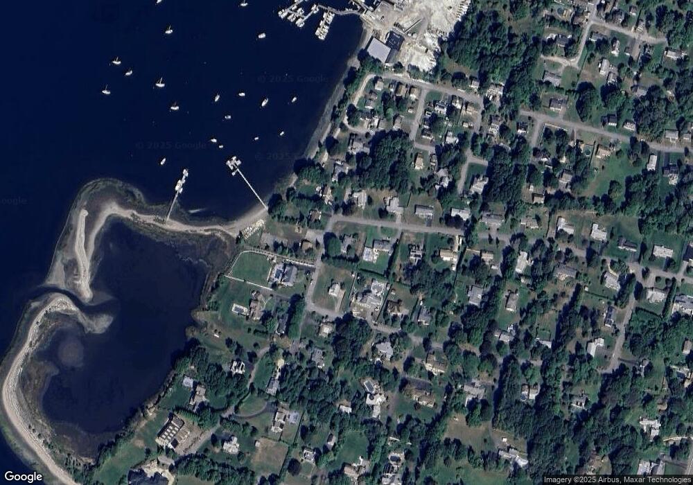
Map
Nearby Homes
- 123 Calef Ave
- 159 Wilder St
- 502 Ocean Grove Ave
- 110 Seaview Ave
- 11 Stonegate Rd
- 153 Puffer Ave
- 95 Winslow Way
- 20 Sherbourne Ave
- 19 Keller Ave
- 25 Inverness Rd
- 41 James Ave
- 196 Coolidge St
- 105 Birchwood Dr
- 19 Richard Rd
- 132 Jackson Ave
- 127 Sheraton Ave
- 462 Harbor View Blvd
- 167 Mercier Ave
- 34 Columbia Rd
- 0 Barton Ave
- 144 Harbor Rd
- 48 Cedar Cove Ln
- 21 Cedar Cove Ln
- 161 Harbor Rd
- 0 Cedar Ave
- 131 Cedar Cove Rd
- 147 Harbor Rd
- 147 Harbor Rd Unit 1
- 171 Harbor Rd
- 43 Cedar Cove Ln
- 130 Harbor Rd
- 44 W Promenade St
- 119 Cedar Cove Rd
- 129 Harbor Rd
- 62 Cedar Cove Ln
- 83 Rounds Ave
- 126 Harbor Rd
- 53 Rounds Ave
- 63 Cedar Cove Ln
- 109 Cedar Cove Rd