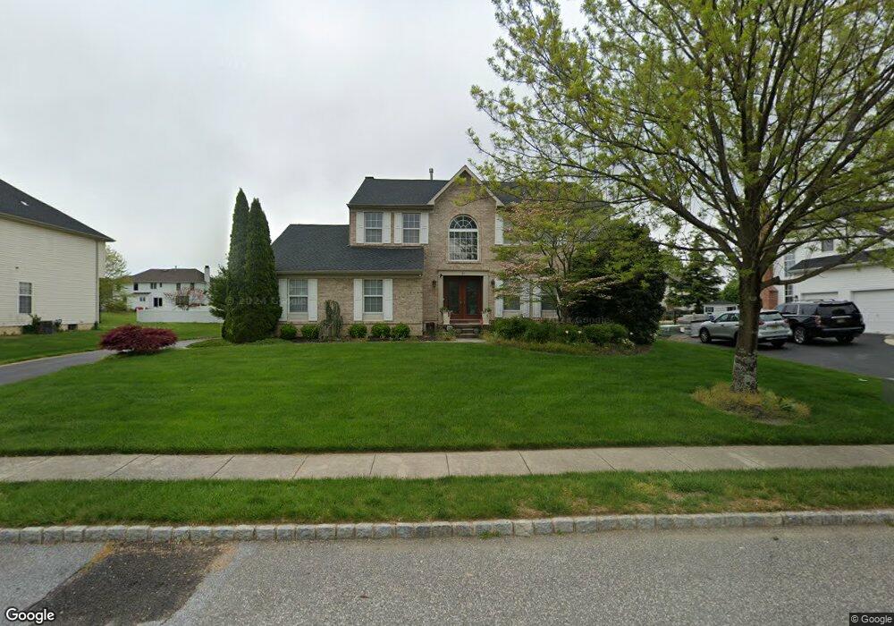
26 Chase Rd Lumberton, NJ 08048
Estimated Value: $837,979 - $895,000
Studio
--
Bath
3,190
Sq Ft
$271/Sq Ft
Est. Value
About This Home
This home is located at 26 Chase Rd, Lumberton, NJ 08048 and is currently estimated at $862,995, approximately $270 per square foot. 26 Chase Rd is a home located in Burlington County with nearby schools including Ashbrook Elementary School, Bobby’s Run School, and Lumberton Middle School.
Ownership History
Date
Name
Owned For
Owner Type
Purchase Details
Closed on
Jan 31, 2020
Sold by
Ebo Kenneth N
Bought by
Ebo Kenneth N and Ebo Evelyn W
Current Estimated Value
Purchase Details
Closed on
Oct 31, 2001
Sold by
Paparone Corp
Bought by
Ebo Kenneth N
Home Financials for this Owner
Home Financials are based on the most recent Mortgage that was taken out on this home.
Original Mortgage
$224,000
Outstanding Balance
$87,873
Interest Rate
6.77%
Estimated Equity
$775,122
Create a Home Valuation Report for This Property
The Home Valuation Report is an in-depth analysis detailing your home's value as well as a comparison with similar homes in the area
Home Values in the Area
Average Home Value in this Area
Purchase History
| Date | Buyer | Sale Price | Title Company |
|---|---|---|---|
| Ebo Kenneth N | -- | None Available | |
| Ebo Kenneth N | $280,075 | American Title Abstract | |
| -- | $280,100 | -- |
Source: Public Records
Mortgage History
| Date | Status | Borrower | Loan Amount |
|---|---|---|---|
| Open | -- | $224,000 |
Source: Public Records
Tax History
| Year | Tax Paid | Tax Assessment Tax Assessment Total Assessment is a certain percentage of the fair market value that is determined by local assessors to be the total taxable value of land and additions on the property. | Land | Improvement |
|---|---|---|---|---|
| 2025 | $13,411 | $503,800 | $90,400 | $413,400 |
| 2024 | $12,610 | $503,800 | $90,400 | $413,400 |
| 2023 | $12,610 | $503,800 | $90,400 | $413,400 |
| 2022 | $12,318 | $503,800 | $90,400 | $413,400 |
| 2021 | $12,277 | $503,800 | $90,400 | $413,400 |
| 2020 | $12,177 | $503,800 | $90,400 | $413,400 |
| 2019 | $12,041 | $503,800 | $90,400 | $413,400 |
| 2018 | $11,859 | $503,800 | $90,400 | $413,400 |
| 2017 | $11,638 | $503,800 | $90,400 | $413,400 |
| 2016 | $11,386 | $503,800 | $90,400 | $413,400 |
| 2015 | $11,300 | $503,800 | $90,400 | $413,400 |
| 2014 | $10,872 | $503,800 | $90,400 | $413,400 |
Source: Public Records
Map
Nearby Homes
- 11 Chase Rd
- 11 Stirling Way
- 11 Tyler Place
- 23 Creek Rd
- 414 Bischoff Ave
- 6 Easton Way
- 105 Mount Laurel Rd
- 2522 Creek Rd
- 40 Phillips Rd
- 56 Phillips Rd
- 52 Phillips Rd
- 587 Main St
- 210 Royal Ave
- 2109 Marne Hwy
- 1476 Route 38 Unit 8
- 137 Merion Way
- 445 Landing St
- 2603A Yarmouth Ln Unit 2603
- 443 Landing St
- 2406B Yarmouth Ln