26 Cherry Tree Ln Riverside, CT 06878
Estimated Value: $4,638,000 - $8,094,000
3
Beds
4
Baths
3,762
Sq Ft
$1,508/Sq Ft
Est. Value
About This Home
This home is located at 26 Cherry Tree Ln, Riverside, CT 06878 and is currently estimated at $5,673,553, approximately $1,508 per square foot. 26 Cherry Tree Ln is a home located in Fairfield County with nearby schools including Riverside School, Eastern Middle School, and Greenwich High School.
Ownership History
Date
Name
Owned For
Owner Type
Purchase Details
Closed on
Aug 10, 2010
Sold by
Cooper Nancy E
Bought by
Cooper Nancy E and Duus Andreas
Current Estimated Value
Purchase Details
Closed on
Oct 16, 1996
Sold by
Est Tabell Margaret and Tabell Anthony W
Bought by
Cooper Nancy E
Create a Home Valuation Report for This Property
The Home Valuation Report is an in-depth analysis detailing your home's value as well as a comparison with similar homes in the area
Home Values in the Area
Average Home Value in this Area
Purchase History
We collect this data history from publicly available records. To have your information removed, we recommend requesting removal directly through your county’s website.
| Date | Buyer | Sale Price | Title Company |
|---|---|---|---|
| Cooper Nancy E | -- | -- | |
| Duun 3Rd Andreas | -- | -- | |
| Cooper Nancy E | $1,700,000 | -- |
Source: Public Records
Tax History
| Year | Tax Paid | Tax Assessment Tax Assessment Total Assessment is a certain percentage of the fair market value that is determined by local assessors to be the total taxable value of land and additions on the property. | Land | Improvement |
|---|---|---|---|---|
| 2025 | $70,921 | $5,890,430 | $5,285,700 | $604,730 |
| 2024 | $68,977 | $5,890,430 | $5,285,700 | $604,730 |
| 2023 | $67,092 | $5,890,430 | $5,285,700 | $604,730 |
| 2022 | $66,444 | $5,890,430 | $5,285,700 | $604,730 |
| 2021 | $66,229 | $5,714,310 | $5,033,980 | $680,330 |
| 2020 | $66,229 | $5,714,310 | $5,033,980 | $680,330 |
| 2019 | $66,743 | $5,714,310 | $5,033,980 | $680,330 |
| 2018 | $64,972 | $5,714,310 | $5,033,980 | $680,330 |
| 2017 | $64,972 | $5,714,310 | $5,033,980 | $680,330 |
| 2016 | $64,000 | $5,714,310 | $5,033,980 | $680,330 |
| 2015 | $59,392 | $5,269,880 | $4,772,740 | $497,140 |
| 2014 | $57,811 | $5,269,880 | $4,772,740 | $497,140 |
Source: Public Records
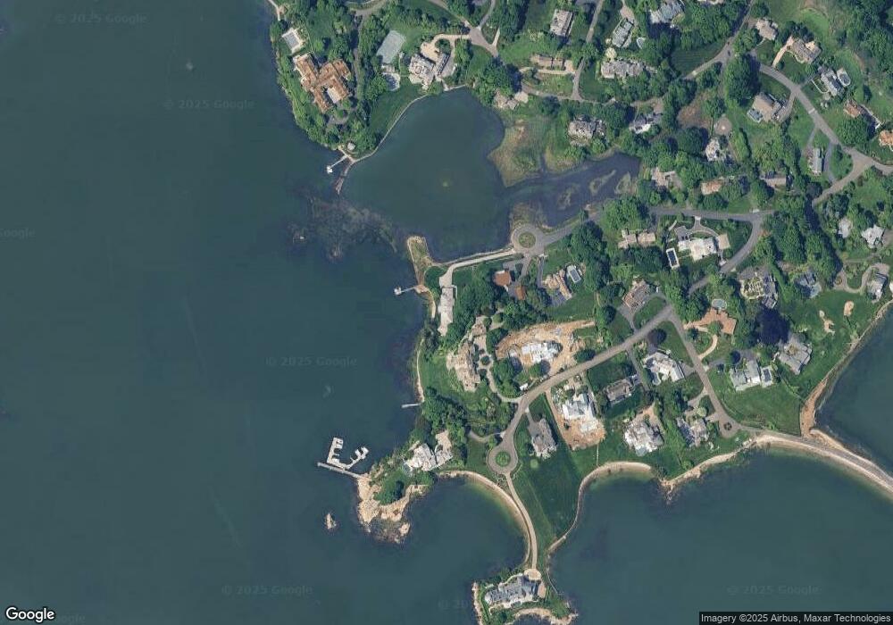
Map
Nearby Homes
- 8 Indian Point Ln
- 177 Indian Head Rd
- 108 Cedar Cliff Rd
- 545 Indian Field Rd
- 553 Indian Field Rd
- 6 Oak Dr
- 7 Indian Head Rd
- 44 Willowmere Ave
- 10 Newton St
- 45 Willow Rd
- 49 Willow Rd
- 21 Lake Dr
- 8 Willowmere Ave
- 15 Field Rd
- 11 Field Rd
- 22 Carrona Dr
- 9 River Rd Unit 418
- 105 Woodside Dr
- 29 Coventry Ln
- 71 Orchard Place Unit 2
- 19 Pilot Rock Ln
- 24 Cherry Tree Ln
- 15 Pilot Rock Ln
- 22 Cherry Tree Ln
- 25 Pilot Rock Ln
- 18 Pilot Rock Ln
- 9 Pilot Rock Ln
- 14 Pilot Rock Ln
- 16 Cherry Tree Ln
- 26 Indian Point Ln
- 22 Pilot Rock Ln
- 16 Indian Point Ln
- 2 Seagate Rd
- 10 Pilot Rock Ln
- 32 Indian Point Ln
- 12 Indian Point Ln
- 10 Pilot Rock Ln
- 17 Cherry Tree Ln
- 5 Pilot Rock Ln
- 21 Indian Point Ln
Your Personal Tour Guide
Ask me questions while you tour the home.