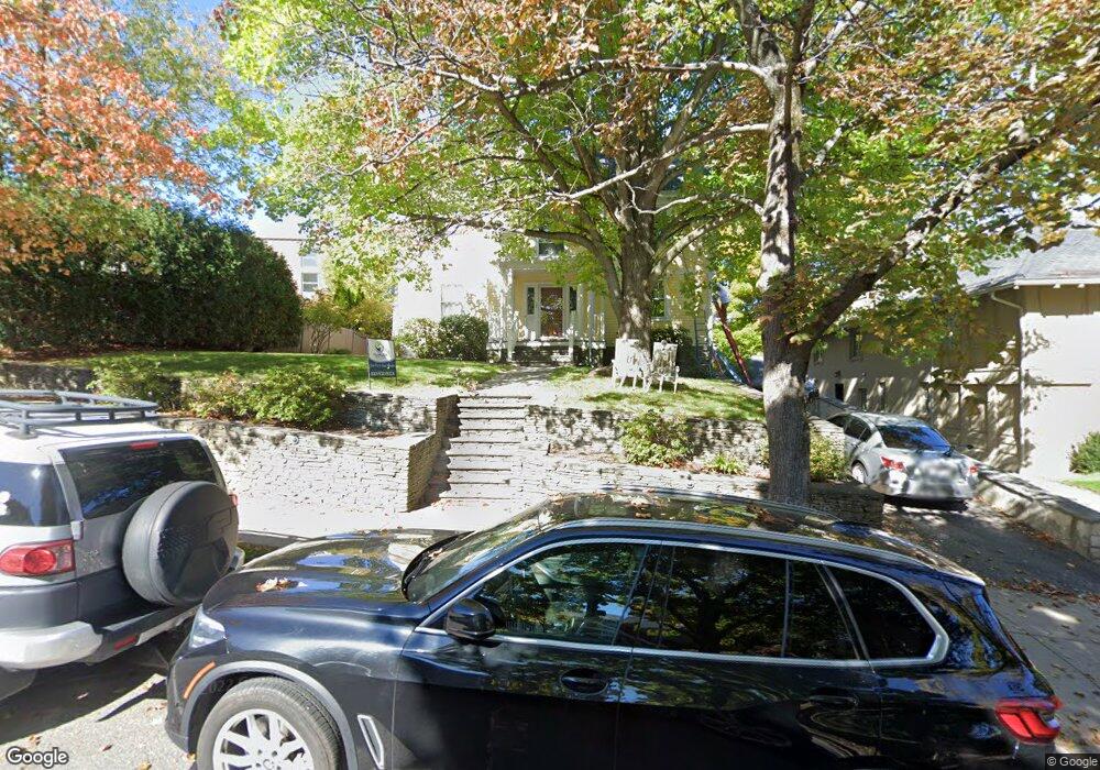
26 Chesham Rd Brookline, MA 02445
Cleveland Circle NeighborhoodEstimated Value: $2,949,000 - $3,635,000
7
Beds
4
Baths
4,440
Sq Ft
$725/Sq Ft
Est. Value
About This Home
This home is located at 26 Chesham Rd, Brookline, MA 02445 and is currently estimated at $3,218,160, approximately $724 per square foot. 26 Chesham Rd is a home located in Norfolk County with nearby schools including John D. Runkle School, Brookline High School, and Torah Academy.
Ownership History
Date
Name
Owned For
Owner Type
Purchase Details
Closed on
Aug 2, 2005
Sold by
Sapers Judith T
Bought by
Ellis Chad and Blais Patricia
Current Estimated Value
Home Financials for this Owner
Home Financials are based on the most recent Mortgage that was taken out on this home.
Original Mortgage
$997,500
Outstanding Balance
$524,336
Interest Rate
5.67%
Mortgage Type
Purchase Money Mortgage
Estimated Equity
$2,693,824
Create a Home Valuation Report for This Property
The Home Valuation Report is an in-depth analysis detailing your home's value as well as a comparison with similar homes in the area
Home Values in the Area
Average Home Value in this Area
Purchase History
| Date | Buyer | Sale Price | Title Company |
|---|---|---|---|
| Ellis Chad | $1,425,000 | -- |
Source: Public Records
Mortgage History
| Date | Status | Borrower | Loan Amount |
|---|---|---|---|
| Open | Ellis Chad | $997,500 |
Source: Public Records
Tax History
| Year | Tax Paid | Tax Assessment Tax Assessment Total Assessment is a certain percentage of the fair market value that is determined by local assessors to be the total taxable value of land and additions on the property. | Land | Improvement |
|---|---|---|---|---|
| 2025 | $29,524 | $2,991,300 | $1,366,700 | $1,624,600 |
| 2024 | $28,127 | $2,878,900 | $1,314,100 | $1,564,800 |
| 2023 | $24,650 | $2,472,400 | $938,800 | $1,533,600 |
| 2022 | $23,994 | $2,354,700 | $894,100 | $1,460,600 |
| 2021 | $22,188 | $2,264,100 | $859,700 | $1,404,400 |
| 2020 | $17,372 | $1,838,300 | $781,500 | $1,056,800 |
| 2019 | $16,405 | $1,750,800 | $744,300 | $1,006,500 |
| 2018 | $16,433 | $1,737,100 | $747,900 | $989,200 |
| 2017 | $16,191 | $1,638,800 | $705,600 | $933,200 |
| 2016 | $15,959 | $1,531,600 | $659,400 | $872,200 |
| 2015 | $15,287 | $1,431,400 | $616,300 | $815,100 |
| 2014 | $15,152 | $1,330,300 | $560,300 | $770,000 |
Source: Public Records
Map
Nearby Homes
- 282 Buckminster Rd
- 43 Druce St
- 34 Hyslop Rd
- 135 Beaconsfield Rd Unit 2
- 120 Seaver St Unit C-102
- 1778 Beacon St Unit 302
- 20 Claflin Rd Unit A
- 4 7 Englewood Ave
- 55 Leicester St
- 195 Winthrop Rd Unit 1
- 90 Addington Rd Unit 1
- 90 Addington Rd Unit 2
- 22 Windsor Rd
- 57 University Rd Unit 3
- 47 Englewood Ave
- 24 Blake Rd
- 15 Colbourne Crescent Unit 2
- 101 Winthrop Rd Unit 1
- 15 Colliston Rd Unit 6
- 89 University Rd
- 176 Clinton Rd
- 25 Chesham Rd
- 166 Clinton Rd
- 17 Chesham Rd
- 179 Clinton Rd
- 189 Clinton Rd
- 183 Clinton Rd
- 171 Clinton Rd
- 197 Clinton Rd
- 249 Buckminster Rd
- 167 Clinton Rd
- 241 Buckminster Rd
- 158 Clinton Rd
- 161 Clinton Rd
- 204 Clinton Rd
- 203 Clinton Rd
- 326 Clark Rd
- 330 Clark Rd
- 20 Cotswold Rd
- 233 Buckminster Rd
Your Personal Tour Guide
Ask me questions while you tour the home.