Estimated Value: $503,806 - $577,000
Studio
--
Bath
1,496
Sq Ft
$365/Sq Ft
Est. Value
About This Home
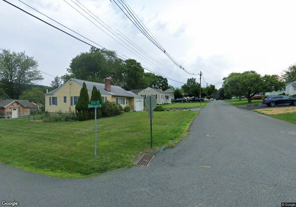
This home is located at 26 Christopher St, Dover, NJ 07801 and is currently estimated at $545,452, approximately $364 per square foot. 26 Christopher St is a home located in Morris County with nearby schools including Birchwood School and Copeland Middle School.
Ownership History
Date
Name
Owned For
Owner Type
Purchase Details
Closed on
Jul 9, 1997
Sold by
Mancuso Richard and Mancuso Jane
Bought by
Casperson Carl J and Casperson Michelle J
Current Estimated Value
Purchase Details
Closed on
Jan 31, 1994
Sold by
Estate Of Dean Demarco
Bought by
Mancuso Richard and Bagli Jane
Home Financials for this Owner
Home Financials are based on the most recent Mortgage that was taken out on this home.
Original Mortgage
$105,000
Interest Rate
7.12%
Create a Home Valuation Report for This Property
The Home Valuation Report is an in-depth analysis detailing your home's value as well as a comparison with similar homes in the area
Home Values in the Area
Average Home Value in this Area
Purchase History
| Date | Buyer | Sale Price | Title Company |
|---|---|---|---|
| Casperson Carl J | $147,000 | -- | |
| Mancuso Richard | $131,500 | -- |
Source: Public Records
Mortgage History
| Date | Status | Borrower | Loan Amount |
|---|---|---|---|
| Previous Owner | Mancuso Richard | $105,000 |
Source: Public Records
Tax History
| Year | Tax Paid | Tax Assessment Tax Assessment Total Assessment is a certain percentage of the fair market value that is determined by local assessors to be the total taxable value of land and additions on the property. | Land | Improvement |
|---|---|---|---|---|
| 2025 | $9,859 | $412,500 | $227,300 | $185,200 |
| 2024 | $9,491 | $384,500 | $201,100 | $183,400 |
Source: Public Records
Map
Nearby Homes
- 12 David St
- 4 W Cooper St
- 301 E McFarlan St -A and B
- 515 Herrick Dr
- 12 Lincoln Ave
- 19 Heritage Way
- 22 Faesch Ct
- 31 Independence Way
- 179 Pequannock St
- 14 Jessica Ln
- 13 James St
- 75 White St
- 121 W Clinton St
- 34 Hillsborough Ct Unit 34
- 414 Mineral Springs Dr
- 142 W Blackwell St
- 77B Highland Way
- 71 Washington Ave Unit 73
- 67 Victory Ct Unit 67B
- 18 Elycroft Ave
Your Personal Tour Guide
Ask me questions while you tour the home.