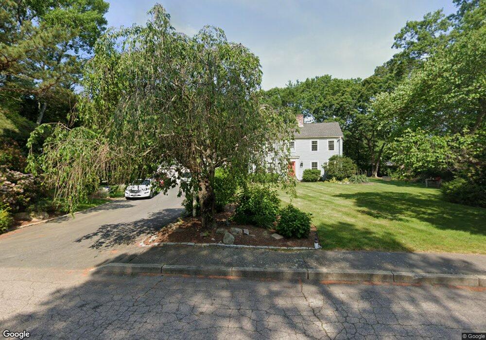
26 Clark Hill Dr North Easton, MA 02356
Estimated Value: $819,408 - $897,000
4
Beds
3
Baths
2,276
Sq Ft
$376/Sq Ft
Est. Value
About This Home
This home is located at 26 Clark Hill Dr, North Easton, MA 02356 and is currently estimated at $856,852, approximately $376 per square foot. 26 Clark Hill Dr is a home located in Bristol County with nearby schools including Easton Middle School.
Ownership History
Date
Name
Owned For
Owner Type
Purchase Details
Closed on
Apr 27, 2007
Sold by
Lechter Beth and Lechter Scott
Bought by
Holmes Frank and Holmes Kirsten J
Current Estimated Value
Purchase Details
Closed on
Oct 2, 1998
Sold by
Cafferky William T
Bought by
Lechter Scott and Lechter Beth
Create a Home Valuation Report for This Property
The Home Valuation Report is an in-depth analysis detailing your home's value as well as a comparison with similar homes in the area
Home Values in the Area
Average Home Value in this Area
Purchase History
| Date | Buyer | Sale Price | Title Company |
|---|---|---|---|
| Holmes Frank | $515,000 | -- | |
| Holmes Frank | $515,000 | -- | |
| Lechter Scott | $297,500 | -- | |
| Lechter Scott | $297,500 | -- |
Source: Public Records
Mortgage History
| Date | Status | Borrower | Loan Amount |
|---|---|---|---|
| Open | Lechter Scott | $388,000 | |
| Closed | Lechter Scott | $32,000 |
Source: Public Records
Tax History Compared to Growth
Tax History
| Year | Tax Paid | Tax Assessment Tax Assessment Total Assessment is a certain percentage of the fair market value that is determined by local assessors to be the total taxable value of land and additions on the property. | Land | Improvement |
|---|---|---|---|---|
| 2025 | $9,434 | $755,900 | $408,500 | $347,400 |
| 2024 | $8,908 | $667,300 | $322,100 | $345,200 |
| 2023 | $8,678 | $594,800 | $313,500 | $281,300 |
| 2022 | $8,384 | $544,800 | $273,900 | $270,900 |
| 2021 | $8,218 | $530,900 | $260,000 | $270,900 |
| 2020 | $7,971 | $518,300 | $255,200 | $263,100 |
| 2019 | $7,777 | $487,300 | $236,300 | $251,000 |
| 2018 | $7,643 | $471,500 | $236,300 | $235,200 |
| 2017 | $7,393 | $455,800 | $236,300 | $219,500 |
| 2016 | $7,025 | $433,900 | $236,300 | $197,600 |
| 2015 | $6,687 | $398,500 | $200,900 | $197,600 |
| 2014 | $6,593 | $396,000 | $200,900 | $195,100 |
Source: Public Records
Map
Nearby Homes
- 15 Randall Farm Dr
- 37 Kingsley Rd
- 45 Randall St
- 6 Kingsley Rd
- 79 Summer St
- 73 Summer St
- 9 Oak Ridge Dr
- 32 Spooner St
- 1 Whittier Ln Unit 1
- 18 Prudence Crandall Ln Unit 18
- 221 Center St
- 67 Center St
- 16 Goodspeed Ln Unit Lot 4
- 11 Olde Stable Ln
- 56 Williams St
- 30 King Arthur Rd
- 366 Center St
- 8 Hobart Way
- 1 Newell Cir
- 10 Matthew Cir
- 22 Clark Hill Dr
- 30 Clark Hill Dr
- 2 Sherwood Dr
- 2 Sherwood Dr Unit 1
- 27 Clark Hill Dr
- 31 Clark Hill Dr
- 23 Clark Hill Dr
- 18 Clark Hill Dr
- 66 Brentwood Dr
- 19 Clark Hill Dr
- 62 Brentwood Dr
- 1 Sherwood Dr
- 70 Brentwood Dr
- 7 Brentwood Dr
- 11 Brentwood Dr
- 1 Brentwood Dr
- 73 Brentwood Dr
- 21 Randall Farm Dr
- 15 Brentwood Dr
- 15 Clark Hill Dr