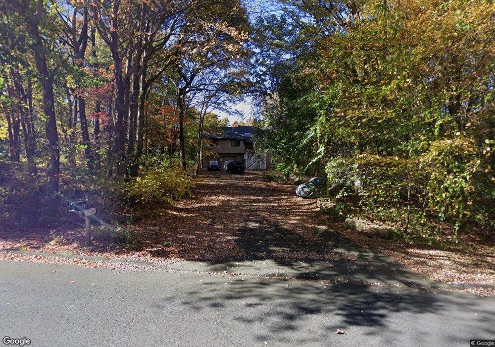
26 Colman Dr Wolcott, CT 06716
Estimated Value: $426,000 - $878,000
2
Beds
2
Baths
1,629
Sq Ft
$377/Sq Ft
Est. Value
About This Home
This home is located at 26 Colman Dr, Wolcott, CT 06716 and is currently estimated at $614,865, approximately $377 per square foot. 26 Colman Dr is a home located in New Haven County with nearby schools including Tyrrell Middle School and Wolcott High School.
Ownership History
Date
Name
Owned For
Owner Type
Purchase Details
Closed on
Jul 28, 2021
Sold by
Eg Home Llc
Bought by
Elaine Stanton Ret and Stanton
Current Estimated Value
Home Financials for this Owner
Home Financials are based on the most recent Mortgage that was taken out on this home.
Original Mortgage
$80,000
Outstanding Balance
$72,777
Interest Rate
2.93%
Mortgage Type
Purchase Money Mortgage
Estimated Equity
$542,088
Create a Home Valuation Report for This Property
The Home Valuation Report is an in-depth analysis detailing your home's value as well as a comparison with similar homes in the area
Home Values in the Area
Average Home Value in this Area
Purchase History
| Date | Buyer | Sale Price | Title Company |
|---|---|---|---|
| Elaine Stanton Ret | $535,775 | None Available |
Source: Public Records
Mortgage History
| Date | Status | Borrower | Loan Amount |
|---|---|---|---|
| Open | Elaine Stanton Ret | $80,000 |
Source: Public Records
Tax History Compared to Growth
Tax History
| Year | Tax Paid | Tax Assessment Tax Assessment Total Assessment is a certain percentage of the fair market value that is determined by local assessors to be the total taxable value of land and additions on the property. | Land | Improvement |
|---|---|---|---|---|
| 2025 | $7,551 | $210,170 | $67,890 | $142,280 |
| 2024 | $6,950 | $210,170 | $67,890 | $142,280 |
| 2023 | $6,698 | $210,170 | $67,890 | $142,280 |
| 2022 | $6,473 | $210,170 | $67,890 | $142,280 |
| 2021 | $6,199 | $187,070 | $64,250 | $122,820 |
| 2020 | $6,199 | $187,070 | $64,250 | $122,820 |
| 2019 | $6,199 | $187,070 | $64,250 | $122,820 |
| 2018 | $6,024 | $187,070 | $64,250 | $122,820 |
| 2017 | $5,850 | $187,070 | $64,250 | $122,820 |
| 2016 | $5,702 | $197,240 | $65,490 | $131,750 |
| 2015 | $5,538 | $197,240 | $65,490 | $131,750 |
| 2014 | $5,359 | $197,240 | $65,490 | $131,750 |
Source: Public Records
Map
Nearby Homes
- 87 Ransom Hall Rd
- 0 Bound Line Rd Unit 170253486
- 13 Margaret Terrace
- 77 S Colman Rd
- 00 Woodtick Rd
- 143 Bound Line Rd
- 0 Coe Rd
- 2 Old Farms Rd
- 1209 Woodtick Rd
- 20 Upson Rd
- 8 Ranslow Dr
- 160 Brooks Hill Rd
- 0 Woodtick Rd Unit 24119429
- 20 Wolf Hill Rd Unit 4D
- 20 Wolf Hill Rd Unit 6F
- 420 Winding Ridge
- 210 Munson Rd Unit 2-G
- 210 Munson Rd Unit 2-F
- 210 Munson Rd Unit 2-E
- 210 Munson Rd Unit 2-D