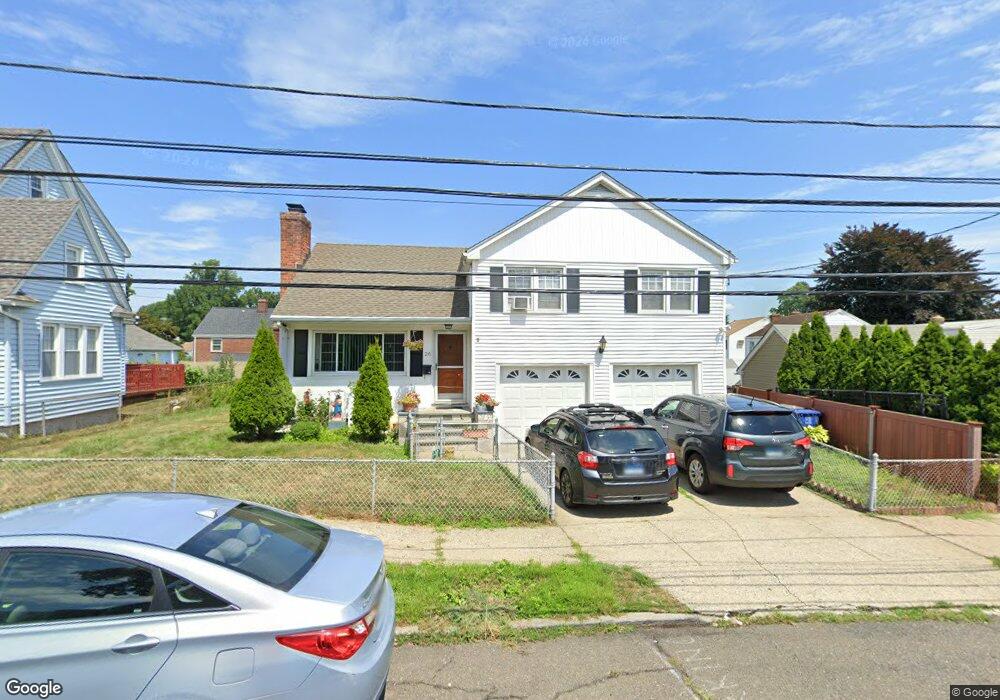
26 Cornell St Bridgeport, CT 06606
North End NeighborhoodEstimated Value: $379,000 - $477,000
3
Beds
2
Baths
1,212
Sq Ft
$349/Sq Ft
Est. Value
About This Home
This home is located at 26 Cornell St, Bridgeport, CT 06606 and is currently estimated at $423,079, approximately $349 per square foot. 26 Cornell St is a home located in Fairfield County with nearby schools including Blackham School, Central High School, and Assumption Catholic School.
Ownership History
Date
Name
Owned For
Owner Type
Purchase Details
Closed on
Oct 14, 2003
Sold by
Kubicko Theresa J and Foley Frank
Bought by
Mazo Edgar and Mazo Angela
Current Estimated Value
Home Financials for this Owner
Home Financials are based on the most recent Mortgage that was taken out on this home.
Original Mortgage
$192,850
Interest Rate
7.25%
Purchase Details
Closed on
May 13, 1998
Sold by
Lyles Boyce and Lyles Mamie
Bought by
Foley Frank T and Kubicko Theresa J
Home Financials for this Owner
Home Financials are based on the most recent Mortgage that was taken out on this home.
Original Mortgage
$118,201
Interest Rate
7.08%
Mortgage Type
Unknown
Create a Home Valuation Report for This Property
The Home Valuation Report is an in-depth analysis detailing your home's value as well as a comparison with similar homes in the area
Home Values in the Area
Average Home Value in this Area
Purchase History
| Date | Buyer | Sale Price | Title Company |
|---|---|---|---|
| Mazo Edgar | $203,000 | -- | |
| Mazo Edgar | $203,000 | -- | |
| Foley Frank T | $121,200 | -- | |
| Foley Frank T | $121,200 | -- |
Source: Public Records
Mortgage History
| Date | Status | Borrower | Loan Amount |
|---|---|---|---|
| Open | Foley Frank T | $210,000 | |
| Closed | Foley Frank T | $192,850 | |
| Previous Owner | Foley Frank T | $118,201 |
Source: Public Records
Tax History
| Year | Tax Paid | Tax Assessment Tax Assessment Total Assessment is a certain percentage of the fair market value that is determined by local assessors to be the total taxable value of land and additions on the property. | Land | Improvement |
|---|---|---|---|---|
| 2025 | $6,979 | $160,630 | $77,080 | $83,550 |
| 2024 | $6,979 | $160,630 | $77,080 | $83,550 |
| 2023 | $6,979 | $160,630 | $77,080 | $83,550 |
| 2022 | $6,979 | $160,630 | $77,080 | $83,550 |
| 2021 | $6,979 | $160,630 | $77,080 | $83,550 |
| 2020 | $6,466 | $119,770 | $44,280 | $75,490 |
| 2019 | $6,466 | $119,770 | $44,280 | $75,490 |
| 2018 | $6,512 | $119,770 | $44,280 | $75,490 |
| 2017 | $6,512 | $119,770 | $44,280 | $75,490 |
| 2016 | $6,512 | $119,770 | $44,280 | $75,490 |
| 2015 | $6,339 | $150,220 | $51,160 | $99,060 |
| 2014 | $6,339 | $150,220 | $51,160 | $99,060 |
Source: Public Records
Map
Nearby Homes
- 26 Marsdale Ave
- 405 Westfield Ave
- 234 Savoy St
- 525 Westfield Ave
- 631 Fairview Ave
- 252 Harlem Ave Unit C4
- 383 Birmingham St
- 95-97 Savoy St
- 254 Wayne St
- 604 Birmingham St
- 625 Clark St
- 203 Wayne St
- 235 Burnsford Ave
- 74 Harlem Ave
- 120 Clark St
- 123 Harlem Ave
- 25 Westfield Ave
- 95 Alexander Ave
- 3461 Main St
- 11 Stratfield Place
Your Personal Tour Guide
Ask me questions while you tour the home.