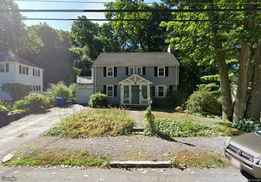
26 Craftsland Rd Chestnut Hill, MA 02467
South Brookline NeighborhoodEstimated Value: $1,675,000 - $2,262,000
4
Beds
3
Baths
2,626
Sq Ft
$761/Sq Ft
Est. Value
About This Home
This home is located at 26 Craftsland Rd, Chestnut Hill, MA 02467 and is currently estimated at $1,998,747, approximately $761 per square foot. 26 Craftsland Rd is a home located in Norfolk County with nearby schools including Baker School, Brookline High School, and Mount Alvernia Academy.
Ownership History
Date
Name
Owned For
Owner Type
Purchase Details
Closed on
Jul 22, 2025
Sold by
Edgers Karen
Bought by
Edgen 2025 Rt and Edgers
Current Estimated Value
Purchase Details
Closed on
Nov 29, 1979
Bought by
Edgers Karen
Create a Home Valuation Report for This Property
The Home Valuation Report is an in-depth analysis detailing your home's value as well as a comparison with similar homes in the area
Home Values in the Area
Average Home Value in this Area
Purchase History
| Date | Buyer | Sale Price | Title Company |
|---|---|---|---|
| Edgen 2025 Rt | -- | -- | |
| Edgen 2025 Rt | -- | -- | |
| Edgers Karen | -- | -- |
Source: Public Records
Tax History Compared to Growth
Tax History
| Year | Tax Paid | Tax Assessment Tax Assessment Total Assessment is a certain percentage of the fair market value that is determined by local assessors to be the total taxable value of land and additions on the property. | Land | Improvement |
|---|---|---|---|---|
| 2025 | $15,862 | $1,607,100 | $689,800 | $917,300 |
| 2024 | $15,109 | $1,546,500 | $663,300 | $883,200 |
| 2023 | $13,970 | $1,401,200 | $537,800 | $863,400 |
| 2022 | $13,599 | $1,334,500 | $512,200 | $822,300 |
| 2021 | $12,575 | $1,283,200 | $492,500 | $790,700 |
| 2020 | $11,592 | $1,226,700 | $447,700 | $779,000 |
| 2019 | $10,947 | $1,168,300 | $426,400 | $741,900 |
| 2018 | $10,960 | $1,158,600 | $426,500 | $732,100 |
| 2017 | $10,799 | $1,093,000 | $402,300 | $690,700 |
| 2016 | $10,644 | $1,021,500 | $376,000 | $645,500 |
| 2015 | $10,196 | $954,700 | $351,400 | $603,300 |
| 2014 | $10,479 | $920,000 | $319,500 | $600,500 |
Source: Public Records
Map
Nearby Homes
- 5 Heathwood Ln
- 809-811 Heath St Unit 811
- 811 Heath St
- 2 Hammond Pond Pkwy Unit 203
- 321 Hammond Pond Pkwy Unit 106
- 321 Hammond Pond Pkwy Unit 103
- 321 Hammond Pond Pkwy Unit 301
- 80 Louise Rd Unit 82
- 20 Hammond Pond Pkwy Unit 606
- 20 Hammond Pond Pkwy Unit 18
- 20 Hammond Pond Pkwy Unit 602
- 15 Glenland Rd
- 99 Florence St Unit 405A
- 84 Boylston St Unit 4
- 280 Boylston St Unit 203
- 280 Boylston St Unit 905
- 280 Boylston St Unit 10
- 280 Boylston St Unit 904
- 280 Boylston St Unit 908
- 280 Boylston St Unit 415
- 22 Craftsland Rd
- 32 Craftsland Rd
- 25 Craftsland Rd
- 31 Craftsland Rd
- 16 Craftsland Rd
- 36 Craftsland Rd
- 19 Craftsland Rd
- 15 Craftsland Rd
- 10 Craftsland Rd
- 42 Craftsland Rd
- 9 Craftsland Rd
- 30 Lyon Rd
- 47 Craftsland Rd
- 4 Craftsland Rd
- 46 Craftsland Rd
- 20 Lyon Rd
- 28 Lyon Rd
- 3 Craftsland Rd
- 12 Lyon Rd
- 53 Craftsland Rd