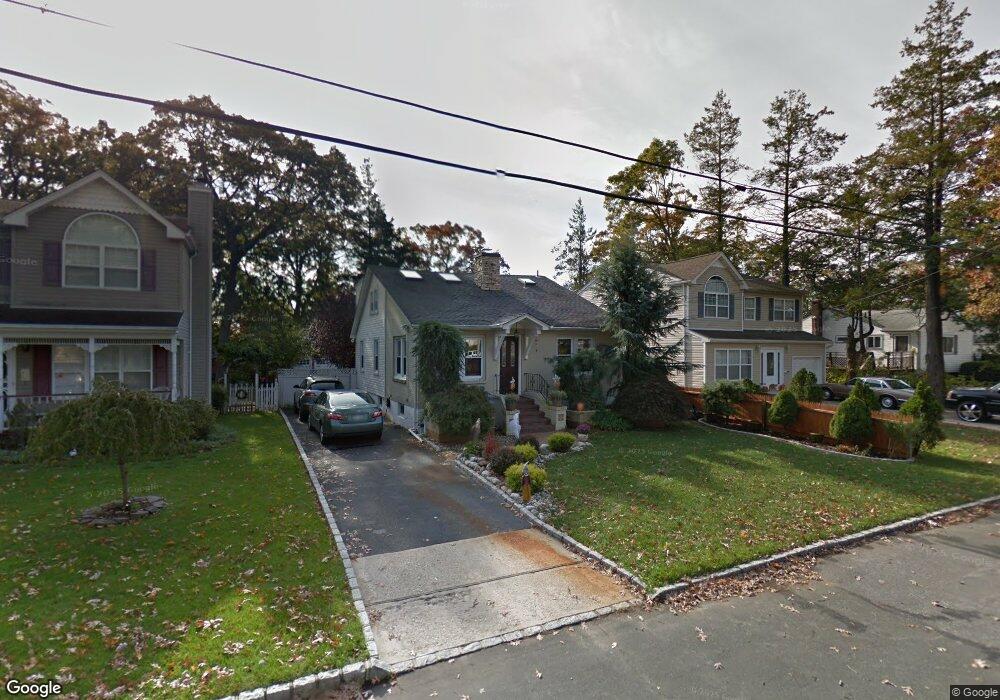
26 Cumberland St West Babylon, NY 11704
Estimated Value: $576,062 - $684,000
--
Bed
--
Bath
1,523
Sq Ft
$417/Sq Ft
Est. Value
About This Home
This home is located at 26 Cumberland St, West Babylon, NY 11704 and is currently estimated at $634,516, approximately $416 per square foot. 26 Cumberland St is a home located in Suffolk County with nearby schools including South Bay Junior Academy.
Ownership History
Date
Name
Owned For
Owner Type
Purchase Details
Closed on
Jan 11, 2019
Sold by
Kraus Adam and Giordano Lorraine
Bought by
Chazen Joseph L
Current Estimated Value
Purchase Details
Closed on
Sep 28, 2001
Sold by
Grefe John H and Grefe Stephenie
Bought by
Kraus Adam and Kohout Lorraine
Home Financials for this Owner
Home Financials are based on the most recent Mortgage that was taken out on this home.
Original Mortgage
$196,000
Interest Rate
6.89%
Purchase Details
Closed on
Nov 6, 2000
Sold by
Tassa Joseph and Martin David
Bought by
Grefe John H and Olah Stephanie
Home Financials for this Owner
Home Financials are based on the most recent Mortgage that was taken out on this home.
Original Mortgage
$224,700
Interest Rate
7.78%
Create a Home Valuation Report for This Property
The Home Valuation Report is an in-depth analysis detailing your home's value as well as a comparison with similar homes in the area
Home Values in the Area
Average Home Value in this Area
Purchase History
| Date | Buyer | Sale Price | Title Company |
|---|---|---|---|
| Chazen Joseph L | -- | -- | |
| Kraus Adam | $245,000 | Fidelity National Title Ins | |
| Grefe John H | $227,000 | -- | |
| Tassa Joseph | $138,000 | -- |
Source: Public Records
Mortgage History
| Date | Status | Borrower | Loan Amount |
|---|---|---|---|
| Previous Owner | Kraus Adam | $196,000 | |
| Previous Owner | Tassa Joseph | $224,700 |
Source: Public Records
Tax History Compared to Growth
Tax History
| Year | Tax Paid | Tax Assessment Tax Assessment Total Assessment is a certain percentage of the fair market value that is determined by local assessors to be the total taxable value of land and additions on the property. | Land | Improvement |
|---|---|---|---|---|
| 2024 | $5,158 | $3,020 | $220 | $2,800 |
| 2023 | $5,158 | $3,020 | $220 | $2,800 |
| 2022 | $9,747 | $3,020 | $220 | $2,800 |
| 2021 | $9,747 | $3,020 | $220 | $2,800 |
| 2020 | $6,133 | $3,020 | $220 | $2,800 |
| 2019 | $6,133 | $0 | $0 | $0 |
| 2018 | $8,411 | $3,020 | $220 | $2,800 |
| 2017 | $8,411 | $3,020 | $220 | $2,800 |
| 2016 | $8,401 | $3,020 | $220 | $2,800 |
| 2015 | -- | $3,020 | $220 | $2,800 |
| 2014 | -- | $3,020 | $220 | $2,800 |
Source: Public Records
Map
Nearby Homes
- 5 Petersen Ct Unit 5
- 45 Arnold Ave
- 49 Arnold Ave
- 27 E Neck Ct
- 252 Locust Ave
- 243 Locust Ave
- 246 Locust Ave
- 7 Bailey Ave
- 24 Lowerre St
- 37 Beachwood Dr
- 162 Millard Ave Unit 162
- 204 Millard Ave Unit 204
- 22 Bradish Ln
- 32 Beachwood Dr
- 219 Litchfield Ave
- 79 Woodrow Pkwy
- 104 Frederick Ave
- 144 Woodrow Pkwy
- 154A Woodrow Pkwy
- 104 Ralph Ave