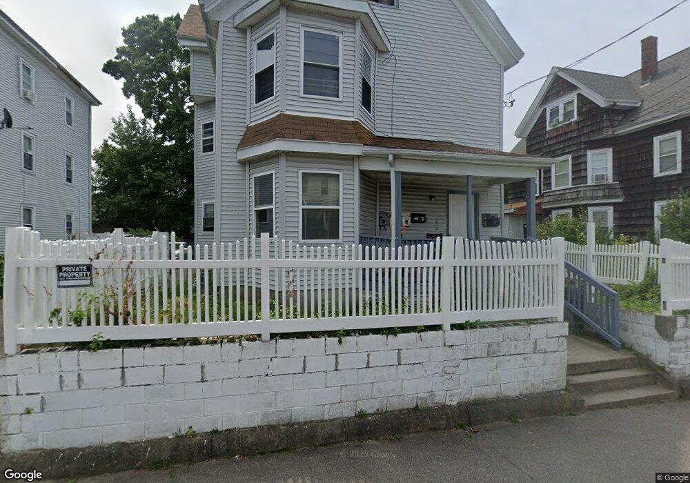
26 Davids St Brockton, MA 02301
Clifton Heights NeighborhoodEstimated Value: $692,168 - $1,156,000
7
Beds
3
Baths
3,542
Sq Ft
$251/Sq Ft
Est. Value
About This Home
This home is located at 26 Davids St, Brockton, MA 02301 and is currently estimated at $890,292, approximately $251 per square foot. 26 Davids St is a home located in Plymouth County with nearby schools including John F. Kennedy Elementary School, Davis K-8 School, and South Middle School.
Ownership History
Date
Name
Owned For
Owner Type
Purchase Details
Closed on
May 1, 2002
Sold by
Rodrigues Arlindo
Bought by
Nwosu Patience N and Nwosu Ndubulsi D
Current Estimated Value
Home Financials for this Owner
Home Financials are based on the most recent Mortgage that was taken out on this home.
Original Mortgage
$265,828
Interest Rate
7.13%
Mortgage Type
Purchase Money Mortgage
Purchase Details
Closed on
Aug 16, 1994
Sold by
Rodrigues Irlando M
Bought by
Rodrigues Moises
Purchase Details
Closed on
Feb 1, 1993
Sold by
Dime Sb Ny
Bought by
Rodrigues Irlando M
Purchase Details
Closed on
Jun 7, 1991
Sold by
Mclaughlin Anthony V
Bought by
Garden Mgmt Co Inc
Purchase Details
Closed on
May 10, 1988
Sold by
Owens Harold F
Bought by
Mclaughlin Anthony V
Create a Home Valuation Report for This Property
The Home Valuation Report is an in-depth analysis detailing your home's value as well as a comparison with similar homes in the area
Home Values in the Area
Average Home Value in this Area
Purchase History
| Date | Buyer | Sale Price | Title Company |
|---|---|---|---|
| Nwosu Patience N | $270,000 | -- | |
| Rodrigues Moises | $6,480 | -- | |
| Rodrigues Irlando M | $18,000 | -- | |
| Garden Mgmt Co Inc | $82,087 | -- | |
| Mclaughlin Anthony V | $175,500 | -- |
Source: Public Records
Mortgage History
| Date | Status | Borrower | Loan Amount |
|---|---|---|---|
| Open | Mclaughlin Anthony V | $273,077 | |
| Closed | Mclaughlin Anthony V | $265,828 | |
| Previous Owner | Mclaughlin Anthony V | $158,400 |
Source: Public Records
Tax History Compared to Growth
Tax History
| Year | Tax Paid | Tax Assessment Tax Assessment Total Assessment is a certain percentage of the fair market value that is determined by local assessors to be the total taxable value of land and additions on the property. | Land | Improvement |
|---|---|---|---|---|
| 2025 | $9,156 | $756,100 | $138,500 | $617,600 |
| 2024 | $8,759 | $728,700 | $138,500 | $590,200 |
| 2023 | $8,229 | $634,000 | $103,200 | $530,800 |
| 2022 | $7,709 | $551,800 | $93,700 | $458,100 |
| 2021 | $7,320 | $504,800 | $77,600 | $427,200 |
| 2020 | $6,730 | $444,200 | $72,900 | $371,300 |
| 2019 | $6,137 | $394,900 | $70,900 | $324,000 |
| 2018 | $5,631 | $350,600 | $70,900 | $279,700 |
| 2017 | $5,641 | $350,400 | $70,900 | $279,500 |
| 2016 | $4,993 | $287,600 | $68,700 | $218,900 |
| 2015 | $4,225 | $232,800 | $68,700 | $164,100 |
| 2014 | $3,938 | $217,200 | $68,700 | $148,500 |
Source: Public Records
Map
Nearby Homes
- 26 Davids Sr Unit 2
- 26 Davids St Unit 2
- 22 Davids St
- 30 Davids St
- 30 Davids St Unit 2
- 25 Davids St
- 34 Davids St
- 18 Davids St
- 13 Sheppard Ave
- 11 Sheppard Ave
- 9 Sheppard Ave
- 9 Sheppard Ave Unit 9
- 13 Sheppard Ave Unit 13
- 29 Davids St
- 29 Davids St Unit 1
- 29 Davids St Unit 2
- 29 Davids St Unit 3
- 7 Sheppard Ave
- 7 Sheppard Ave Unit 7
- 7 Sheppard Ave Unit 3