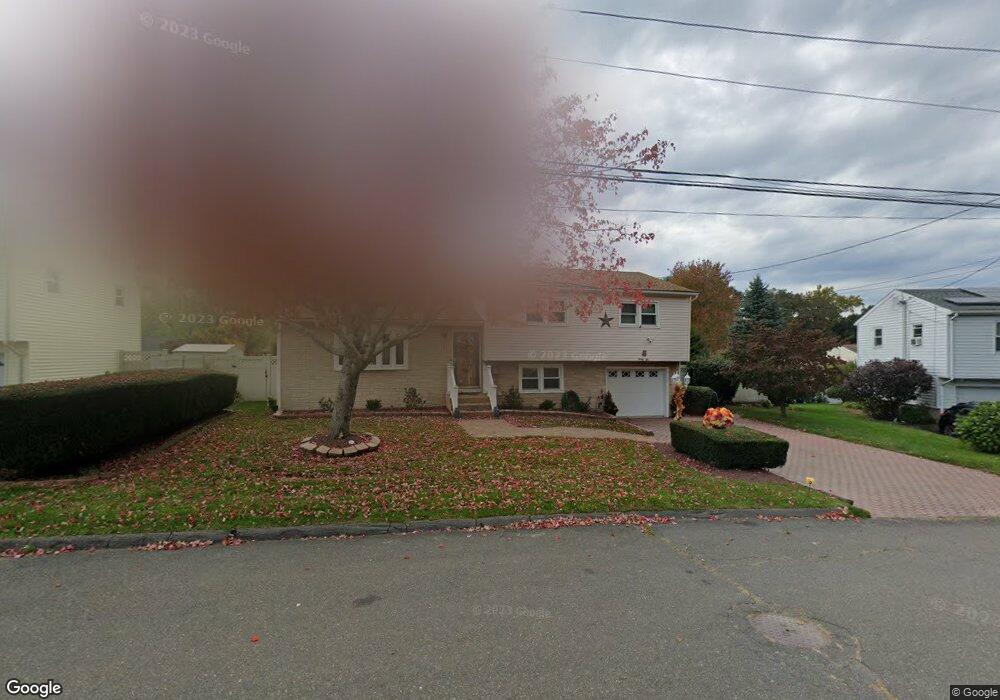
26 Dellwood Dr Waterbury, CT 06708
West End District NeighborhoodEstimated Value: $332,000 - $384,000
3
Beds
2
Baths
1,254
Sq Ft
$286/Sq Ft
Est. Value
About This Home
This home is located at 26 Dellwood Dr, Waterbury, CT 06708 and is currently estimated at $358,676, approximately $286 per square foot. 26 Dellwood Dr is a home located in New Haven County with nearby schools including B.W. Tinker School, West Side Middle School, and John F. Kennedy High School.
Ownership History
Date
Name
Owned For
Owner Type
Purchase Details
Closed on
Jun 24, 1987
Sold by
Laflamme Chas
Bought by
Hayes Michael
Current Estimated Value
Home Financials for this Owner
Home Financials are based on the most recent Mortgage that was taken out on this home.
Original Mortgage
$98,400
Interest Rate
10.5%
Mortgage Type
Purchase Money Mortgage
Create a Home Valuation Report for This Property
The Home Valuation Report is an in-depth analysis detailing your home's value as well as a comparison with similar homes in the area
Home Values in the Area
Average Home Value in this Area
Purchase History
| Date | Buyer | Sale Price | Title Company |
|---|---|---|---|
| Hayes Michael | $123,000 | -- |
Source: Public Records
Mortgage History
| Date | Status | Borrower | Loan Amount |
|---|---|---|---|
| Open | Hayes Michael | $100,000 | |
| Closed | Hayes Michael | $40,000 | |
| Closed | Hayes Michael | $40,000 | |
| Closed | Hayes Michael | $98,400 |
Source: Public Records
Tax History Compared to Growth
Tax History
| Year | Tax Paid | Tax Assessment Tax Assessment Total Assessment is a certain percentage of the fair market value that is determined by local assessors to be the total taxable value of land and additions on the property. | Land | Improvement |
|---|---|---|---|---|
| 2025 | $7,768 | $172,690 | $24,010 | $148,680 |
| 2024 | $8,538 | $172,690 | $24,010 | $148,680 |
| 2023 | $9,358 | $172,690 | $24,010 | $148,680 |
| 2022 | $5,902 | $98,030 | $24,010 | $74,020 |
| 2021 | $5,902 | $98,030 | $24,010 | $74,020 |
| 2020 | $5,902 | $98,030 | $24,010 | $74,020 |
| 2019 | $5,902 | $98,030 | $24,010 | $74,020 |
| 2018 | $5,902 | $98,030 | $24,010 | $74,020 |
| 2017 | $6,126 | $101,750 | $24,010 | $77,740 |
| 2016 | $6,126 | $101,750 | $24,010 | $77,740 |
| 2015 | $5,924 | $101,750 | $24,010 | $77,740 |
| 2014 | $5,924 | $101,750 | $24,010 | $77,740 |
Source: Public Records
Map
Nearby Homes
- 197 Hickory Hill Dr
- 67 Barrington Ln
- 782 Oronoke Rd Unit 27
- 43 Taft Point
- 372 Anna Ave
- 827 Oronoke Rd Unit 2-3
- 100 Hans Ave
- 61 Campfield Rd
- 132 Hans Ave
- 855 Oronoke Rd Unit 2
- 81 Esther Ave
- 925 Oronoke Rd Unit 17F
- 925 Oronoke Rd Unit 14B
- 925 Oronoke Rd Unit 14F
- 925 Oronoke Rd Unit 34A
- 925 Oronoke Rd Unit 38F
- 925 Oronoke Rd Unit 29A
- 925 Oronoke Rd Unit 34G
- 141 Joshua Town Rd
- 35 Hewey St
- 20 Dellwood Dr
- 38 Dellwood Dr
- 25 Dellwood Dr
- 35 Dellwood Dr
- 157 Hickory Hill Dr
- 167 Hickory Hill Dr
- 14 Dellwood Dr
- 46 Dellwood Dr
- 145 Hickory Hill Dr
- 45 Dellwood Dr
- 177 Hickory Hill Dr
- 8 Dellwood Dr
- 77 Greenview Dr
- 67 Greenview Dr
- 154 Hickory Hill Dr
- 164 Hickory Hill Dr
- 4 Dellwood Dr
- 176 Hickory Hill Dr
- 133 Hickory Hill Dr
- 187 Hickory Hill Dr