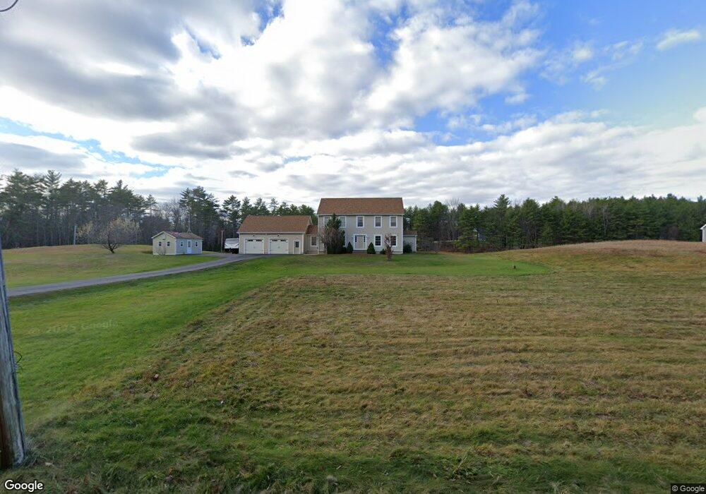
26 Dennett Rd Hollis Center, ME 04042
Hollis NeighborhoodEstimated Value: $433,000 - $614,000
3
Beds
3
Baths
2,492
Sq Ft
$199/Sq Ft
Est. Value
About This Home
This home is located at 26 Dennett Rd, Hollis Center, ME 04042 and is currently estimated at $495,906, approximately $198 per square foot. 26 Dennett Rd is a home located in York County with nearby schools including Bonny Eagle High School.
Ownership History
Date
Name
Owned For
Owner Type
Purchase Details
Closed on
Jan 31, 2022
Sold by
Flanagan Michael P
Bought by
Flanagan Ft
Current Estimated Value
Purchase Details
Closed on
Jan 4, 2008
Sold by
Dunton Randall E
Bought by
Flanagan Michael P
Home Financials for this Owner
Home Financials are based on the most recent Mortgage that was taken out on this home.
Original Mortgage
$212,000
Interest Rate
6.27%
Mortgage Type
Unknown
Create a Home Valuation Report for This Property
The Home Valuation Report is an in-depth analysis detailing your home's value as well as a comparison with similar homes in the area
Home Values in the Area
Average Home Value in this Area
Purchase History
| Date | Buyer | Sale Price | Title Company |
|---|---|---|---|
| Flanagan Ft | -- | None Available | |
| Flanagan Michael P | -- | -- |
Source: Public Records
Mortgage History
| Date | Status | Borrower | Loan Amount |
|---|---|---|---|
| Previous Owner | Flanagan Michael P | $212,000 | |
| Previous Owner | Flanagan Michael P | $39,750 | |
| Previous Owner | Flanagan Michael P | $65,000 |
Source: Public Records
Tax History Compared to Growth
Tax History
| Year | Tax Paid | Tax Assessment Tax Assessment Total Assessment is a certain percentage of the fair market value that is determined by local assessors to be the total taxable value of land and additions on the property. | Land | Improvement |
|---|---|---|---|---|
| 2024 | $4,037 | $269,110 | $72,340 | $196,770 |
| 2023 | $3,390 | $233,820 | $72,340 | $161,480 |
| 2022 | $3,507 | $233,820 | $72,340 | $161,480 |
| 2021 | $3,332 | $233,820 | $72,340 | $161,480 |
| 2020 | $3,273 | $233,820 | $72,340 | $161,480 |
| 2019 | $3,215 | $233,820 | $72,340 | $161,480 |
| 2018 | $3,098 | $233,820 | $72,340 | $161,480 |
| 2017 | $2,923 | $233,820 | $72,340 | $161,480 |
| 2016 | $2,794 | $233,820 | $72,340 | $161,480 |
| 2015 | $2,794 | $233,820 | $72,340 | $161,480 |
| 2014 | $2,689 | $233,820 | $72,340 | $161,480 |
| 2013 | $2,572 | $233,820 | $72,340 | $161,480 |
Source: Public Records
Map
Nearby Homes
- 15 Dennett Rd
- 12 Dennett Rd
- 46 Dennett Rd
- Lot 41 Dennett Rd
- 46A Dennett Rd
- 265 Dyer Rd
- 50 Dennett Rd
- 78 Dennett Rd
- 230 Little Falls Rd
- 236 Bear Hill Rd
- 259 Bear Hill Rd
- 264 Dyer Rd
- TBD Dennett Rd
- 57 Dennett Rd
- 155 Little Falls Rd
- 210 Bear Hill Rd
- 245 Dyer Rd
- 247 Bear Hill Rd
- 231 Little Falls Rd
- 252 Dyer Rd