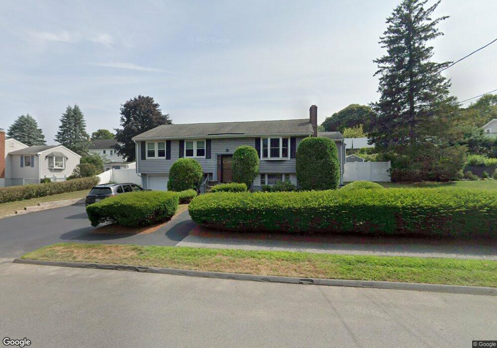
26 Downing Rd Peabody, MA 01960
Estimated Value: $658,000 - $798,000
3
Beds
2
Baths
2,044
Sq Ft
$348/Sq Ft
Est. Value
About This Home
This home is located at 26 Downing Rd, Peabody, MA 01960 and is currently estimated at $711,784, approximately $348 per square foot. 26 Downing Rd is a home located in Essex County with nearby schools including Peabody Veterans Memorial High School and St John The Baptist School.
Ownership History
Date
Name
Owned For
Owner Type
Purchase Details
Closed on
Oct 7, 2020
Sold by
Silverman Gail and Silverman Jeffrey M
Bought by
Silverman Ft
Current Estimated Value
Purchase Details
Closed on
Sep 11, 1975
Bought by
Silverman Jeffrey M and Silverman Gail I
Create a Home Valuation Report for This Property
The Home Valuation Report is an in-depth analysis detailing your home's value as well as a comparison with similar homes in the area
Purchase History
| Date | Buyer | Sale Price | Title Company |
|---|---|---|---|
| Silverman Ft | -- | None Available | |
| Silverman Jeffrey M | -- | -- |
Source: Public Records
Mortgage History
| Date | Status | Borrower | Loan Amount |
|---|---|---|---|
| Previous Owner | Silverman Jeffrey M | $200,000 | |
| Previous Owner | Silverman Jeffrey M | $30,000 | |
| Previous Owner | Silverman Jeffrey M | $36,350 |
Source: Public Records
Tax History
| Year | Tax Paid | Tax Assessment Tax Assessment Total Assessment is a certain percentage of the fair market value that is determined by local assessors to be the total taxable value of land and additions on the property. | Land | Improvement |
|---|---|---|---|---|
| 2025 | $6,229 | $672,700 | $297,500 | $375,200 |
| 2024 | $5,758 | $631,400 | $297,500 | $333,900 |
| 2023 | $5,597 | $587,900 | $248,000 | $339,900 |
| 2022 | $5,297 | $524,500 | $215,600 | $308,900 |
| 2021 | $4,990 | $475,700 | $196,000 | $279,700 |
| 2020 | $5,010 | $466,500 | $196,000 | $270,500 |
| 2019 | $4,723 | $429,000 | $196,000 | $233,000 |
| 2018 | $4,582 | $399,800 | $175,000 | $224,800 |
| 2017 | $4,663 | $396,500 | $175,000 | $221,500 |
| 2016 | $4,447 | $373,100 | $175,000 | $198,100 |
| 2015 | $4,373 | $355,500 | $175,000 | $180,500 |
Source: Public Records
Map
Nearby Homes
- 4 Price Rd
- 23 Tamarack Ln Unit 23
- 55 Hawthorne Cir
- 21 Olsen Rd
- 14 Raylen Ave
- 59 Nancy Ave
- 21 Forest St
- 500 Northshore Rd Unit 6B
- 4R Forest St
- 233 Lowell St Unit 1
- 11 Andover St
- 9 Ledgewood Way Unit 6
- 17 Bourbon St Unit 76
- 12 Ledgewood Way Unit 8
- 8 Ledgewood Way Unit 20
- 38-1/2 Ellsworth Rd
- 158 Lowell St Unit 4
- 3 Ledgewood Way Unit 8
- 165 Newbury St Unit 4
- 161 Newbury St Unit 32
Your Personal Tour Guide
Ask me questions while you tour the home.