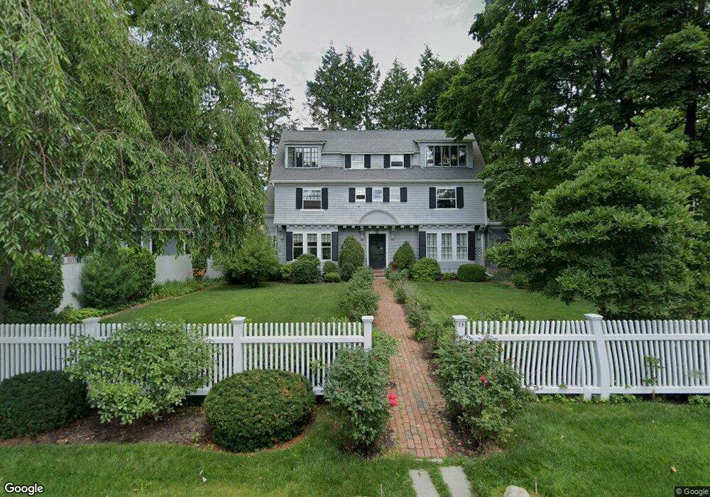
26 Dunster Rd Chestnut Hill, MA 02467
Chestnut Hill NeighborhoodEstimated Value: $2,891,019 - $3,446,000
7
Beds
4
Baths
3,799
Sq Ft
$839/Sq Ft
Est. Value
About This Home
This home is located at 26 Dunster Rd, Chestnut Hill, MA 02467 and is currently estimated at $3,188,755, approximately $839 per square foot. 26 Dunster Rd is a home located in Norfolk County with nearby schools including Heath Elementary School, Brimmer & May School, and The Chestnut Hill School.
Ownership History
Date
Name
Owned For
Owner Type
Purchase Details
Closed on
Apr 13, 2023
Sold by
Marjorie Judith Bland T and Marjorie Bland
Bought by
Marjorie Judith Bland T and Marjorie Bland
Current Estimated Value
Create a Home Valuation Report for This Property
The Home Valuation Report is an in-depth analysis detailing your home's value as well as a comparison with similar homes in the area
Home Values in the Area
Average Home Value in this Area
Purchase History
| Date | Buyer | Sale Price | Title Company |
|---|---|---|---|
| Marjorie Judith Bland T | -- | None Available |
Source: Public Records
Tax History Compared to Growth
Tax History
| Year | Tax Paid | Tax Assessment Tax Assessment Total Assessment is a certain percentage of the fair market value that is determined by local assessors to be the total taxable value of land and additions on the property. | Land | Improvement |
|---|---|---|---|---|
| 2025 | $28,011 | $2,838,000 | $1,382,400 | $1,455,600 |
| 2024 | $26,726 | $2,735,500 | $1,329,200 | $1,406,300 |
| 2023 | $23,203 | $2,327,300 | $949,700 | $1,377,600 |
| 2022 | $22,585 | $2,216,400 | $904,400 | $1,312,000 |
| 2021 | $20,886 | $2,131,200 | $869,600 | $1,261,600 |
| 2020 | $19,234 | $2,035,300 | $790,500 | $1,244,800 |
| 2019 | $18,163 | $1,938,400 | $752,900 | $1,185,500 |
| 2018 | $18,247 | $1,928,900 | $757,000 | $1,171,900 |
| 2017 | $17,979 | $1,819,700 | $714,200 | $1,105,500 |
| 2016 | $17,721 | $1,700,700 | $667,500 | $1,033,200 |
| 2015 | $16,975 | $1,589,400 | $623,800 | $965,600 |
| 2014 | $17,113 | $1,502,500 | $567,100 | $935,400 |
Source: Public Records
Map
Nearby Homes
- 76 Norfolk Rd
- 174 Middlesex Rd
- 1014 Boylston St
- 85 Gate House Rd
- 335 Heath St
- 3 Glenoe Rd
- 0 Glenoe Rd
- 142 Crafts Rd
- 15 Glenland Rd
- 11 Hammond Pond Pkwy Unit 3
- 33 Hammond Pond Pkwy Unit 2
- 321 Hammond Pond Pkwy Unit 103
- 321 Hammond Pond Pkwy Unit 301
- 130 Cabot St
- 138 Woodland Rd
- 771 Heath St Unit 771
- 809-811 Heath St Unit 811
- 799 Heath St Unit 2
- 811 Heath St
- 88 Cutler Ln
- 22 Dunster Rd
- 17 Devon Rd
- 40 Dunster Rd
- 41 Middlesex Rd
- 51 Middlesex Rd
- 27 Devon Rd
- 37 Devon Rd
- 38 Devon Rd
- 6 Alwington Rd
- 1125 Boylston St Unit 46
- 1125 Boylston St
- 1125 Boylston St Unit 1 BED Downtown
- 1125 Boylston St Unit 606
- 48 Devon Rd
- 45 Devon Rd
- 81 Middlesex Rd
- 1117 Boylston St
- 1117 Boylston St Unit 1117
- 1117 Boylston St
- 1117 Boylston St Unit 2