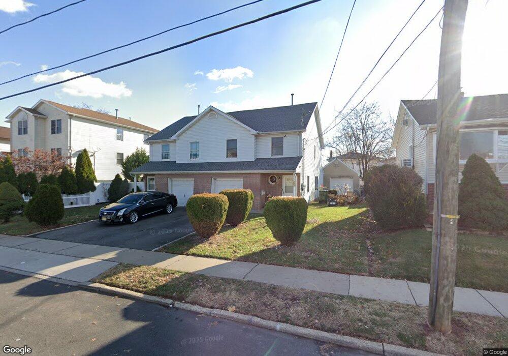
26 E 10th St Linden, NJ 07036
Estimated Value: $546,000 - $741,000
Studio
--
Bath
1,250
Sq Ft
$519/Sq Ft
Est. Value
About This Home
This home is located at 26 E 10th St, Linden, NJ 07036 and is currently estimated at $648,748, approximately $518 per square foot. 26 E 10th St is a home located in Union County with nearby schools including School No. 2, Myles J. McManus Middle School, and Linden High School.
Ownership History
Date
Name
Owned For
Owner Type
Purchase Details
Closed on
Jun 13, 1997
Sold by
Blizniak Ryszard and Blizniak Maria M
Bought by
Parker James L and Parker James D
Current Estimated Value
Home Financials for this Owner
Home Financials are based on the most recent Mortgage that was taken out on this home.
Original Mortgage
$176,250
Outstanding Balance
$20,748
Interest Rate
5.87%
Estimated Equity
$628,000
Purchase Details
Closed on
Aug 1, 1996
Sold by
Does Catharina J M and Does Catherine
Bought by
Blizniak Ryszard and Blizniak Maria M
Create a Home Valuation Report for This Property
The Home Valuation Report is an in-depth analysis detailing your home's value as well as a comparison with similar homes in the area
Home Values in the Area
Average Home Value in this Area
Purchase History
| Date | Buyer | Sale Price | Title Company |
|---|---|---|---|
| Parker James L | $235,000 | -- | |
| Blizniak Ryszard | $70,000 | -- |
Source: Public Records
Mortgage History
| Date | Status | Borrower | Loan Amount |
|---|---|---|---|
| Open | Parker James L | $176,250 |
Source: Public Records
Tax History
| Year | Tax Paid | Tax Assessment Tax Assessment Total Assessment is a certain percentage of the fair market value that is determined by local assessors to be the total taxable value of land and additions on the property. | Land | Improvement |
|---|---|---|---|---|
| 2025 | $13,741 | $195,400 | $54,800 | $140,600 |
| 2024 | $13,440 | $195,400 | $54,800 | $140,600 |
| 2023 | $13,440 | $195,400 | $54,800 | $140,600 |
| 2022 | $13,510 | $195,400 | $54,800 | $140,600 |
| 2021 | $13,578 | $195,400 | $54,800 | $140,600 |
| 2020 | $13,506 | $195,400 | $54,800 | $140,600 |
| 2019 | $13,461 | $195,400 | $54,800 | $140,600 |
| 2018 | $13,457 | $195,400 | $54,800 | $140,600 |
| 2017 | $13,166 | $195,400 | $54,800 | $140,600 |
| 2016 | $14,710 | $225,400 | $54,800 | $170,600 |
| 2015 | $14,148 | $225,400 | $54,800 | $170,600 |
| 2014 | $13,873 | $225,400 | $54,800 | $170,600 |
Source: Public Records
Map
Nearby Homes
- 111 E 10th St
- 112 E 12th St
- 11 W 12th St
- 119 E 13th St
- 46 W 12th St
- 135 Liberty St
- 317 Mitchell Ave
- 300 Kennedy Dr
- 1713 S Wood Ave Unit 2
- 116 W 17th St Unit 2
- 108 W 18th St
- 12 Belmont Place
- 14 Arlington Place
- 1930 S Wood Ave
- 212 W Morris Ave
- 226 Pennsylvania Railroad Ave
- 10 N Wood Ave Unit 406
- 10 N Wood Ave Unit 717
- 120 S Stiles St
- 111 Todd Place
- 34 W 10th St
- 20 E 10th St
- 34 E 10th St
- 27 E 11th St
- 21 E 11th St
- 31 E 11th St
- 36 E 10th St
- 36 E 10th St Unit 1
- 12 E 10th St Unit R 1
- 12 E 10th St Unit 16
- 12-16 E 10th St
- 33 E 11th St
- 13 E 11th St
- 31 E 10th St
- 25 E 10th St
- 25 E 10th St Unit C
- 25 E 10th St Unit D
- 25 E 10th St Unit A
- 25 E 10th St Unit B
- 1004 Clinton St
Your Personal Tour Guide
Ask me questions while you tour the home.