Estimated Value: $901,098 - $1,011,000
4
Beds
3
Baths
2,596
Sq Ft
$370/Sq Ft
Est. Value
About This Home
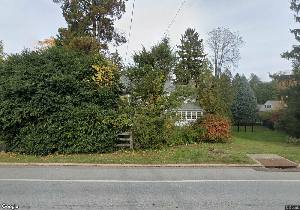
This home is located at 26 E Central Ave, Paoli, PA 19301 and is currently estimated at $960,525, approximately $370 per square foot. 26 E Central Ave is a home located in Chester County with nearby schools including Hillside Elementary School, Valley Forge Middle School, and Conestoga Senior High School.
Ownership History
Date
Name
Owned For
Owner Type
Purchase Details
Closed on
Jun 3, 2010
Sold by
Mcilwain Thomas S and Mcilwain Elizabeth P
Bought by
Rotondo Diane M and Leonard Timothy J
Current Estimated Value
Home Financials for this Owner
Home Financials are based on the most recent Mortgage that was taken out on this home.
Original Mortgage
$388,800
Outstanding Balance
$260,703
Interest Rate
4.98%
Mortgage Type
New Conventional
Estimated Equity
$699,822
Create a Home Valuation Report for This Property
The Home Valuation Report is an in-depth analysis detailing your home's value as well as a comparison with similar homes in the area
Home Values in the Area
Average Home Value in this Area
Purchase History
| Date | Buyer | Sale Price | Title Company |
|---|---|---|---|
| Rotondo Diane M | $486,000 | None Available |
Source: Public Records
Mortgage History
| Date | Status | Borrower | Loan Amount |
|---|---|---|---|
| Open | Rotondo Diane M | $388,800 |
Source: Public Records
Tax History Compared to Growth
Tax History
| Year | Tax Paid | Tax Assessment Tax Assessment Total Assessment is a certain percentage of the fair market value that is determined by local assessors to be the total taxable value of land and additions on the property. | Land | Improvement |
|---|---|---|---|---|
| 2025 | $9,084 | $257,890 | $70,220 | $187,670 |
| 2024 | $9,084 | $257,890 | $70,220 | $187,670 |
| 2023 | $8,533 | $257,890 | $70,220 | $187,670 |
| 2022 | $8,313 | $257,890 | $70,220 | $187,670 |
| 2021 | $8,155 | $257,890 | $70,220 | $187,670 |
| 2020 | $7,930 | $257,890 | $70,220 | $187,670 |
| 2019 | $7,598 | $255,160 | $70,210 | $184,950 |
| 2018 | $7,447 | $255,160 | $70,210 | $184,950 |
| 2017 | $7,270 | $255,160 | $70,210 | $184,950 |
| 2016 | -- | $255,160 | $70,210 | $184,950 |
| 2015 | -- | $255,160 | $70,210 | $184,950 |
| 2014 | -- | $255,160 | $70,210 | $184,950 |
Source: Public Records
Map
Nearby Homes
- 106 N Valley Rd
- 109 Vincent Rd
- 1 Whitworth Ave
- 21 Manor Rd
- 29 Manor Rd
- 2102 Quail Ridge Dr
- 521 Foxwood Ln
- 1304 Weatherstone Dr Unit 1304
- 104 Lynbrook Rd
- 12 Moreland Rd
- 114 Manor Rd
- 5 Kent Ln
- 1705 Weatherstone Dr
- 202 Shoreline Dr
- 3 Bryan Ave
- 1441 Berwyn Paoli Rd
- 1242 Old Lancaster Rd
- 201 Penns Ln
- 1250 Swedesford Rd
- 10 Arlington Rd
- 24 E Central Ave
- 106 Pennington Rd
- 22 E Central Ave
- 30 E Central Ave
- 103 Pennington Rd
- 101 Pennington Rd
- 105 Pennington Rd
- 7 Rochsolach Rd
- 20 E Central Ave
- 108 Pennington Rd
- 18 E Central Ave
- 5 Rochsolach Rd
- 107 Pennington Rd
- 34 E Central Ave
- 100 Orchard Rd
- 104 Orchard Rd
- 3 Rochsolach Rd
- 21 Jolind Rd
- 101 Fennerton Rd
- 8 Rochsolach Rd