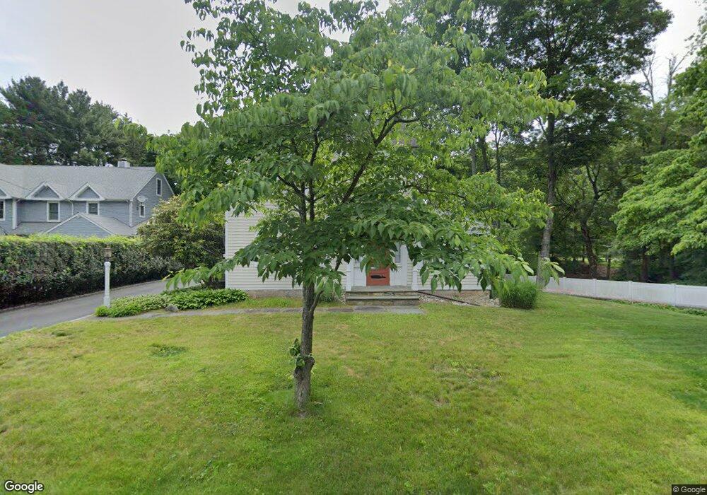
26 E Rocks Rd Norwalk, CT 06851
Woods Pond NeighborhoodEstimated Value: $731,000 - $799,000
3
Beds
2
Baths
2,027
Sq Ft
$376/Sq Ft
Est. Value
About This Home
This home is located at 26 E Rocks Rd, Norwalk, CT 06851 and is currently estimated at $761,906, approximately $375 per square foot. 26 E Rocks Rd is a home located in Fairfield County with nearby schools including Cranbury Elementary School, West Rocks Middle School, and Norwalk High School.
Ownership History
Date
Name
Owned For
Owner Type
Purchase Details
Closed on
Jan 19, 1999
Sold by
Gcg Inc
Bought by
Guerra Jorge E
Current Estimated Value
Home Financials for this Owner
Home Financials are based on the most recent Mortgage that was taken out on this home.
Original Mortgage
$437,750
Outstanding Balance
$101,009
Interest Rate
6.7%
Estimated Equity
$660,897
Purchase Details
Closed on
May 11, 1998
Sold by
Watts Ellen
Bought by
Trentos John
Purchase Details
Closed on
Apr 16, 1998
Sold by
Watts Ellen
Bought by
Gcg Inc
Purchase Details
Closed on
Feb 19, 1992
Sold by
Northcross Elizabeth
Bought by
Barry Thomas
Create a Home Valuation Report for This Property
The Home Valuation Report is an in-depth analysis detailing your home's value as well as a comparison with similar homes in the area
Home Values in the Area
Average Home Value in this Area
Purchase History
| Date | Buyer | Sale Price | Title Company |
|---|---|---|---|
| Guerra Jorge E | $515,000 | -- | |
| Guerra Jorge E | $515,000 | -- | |
| Trentos John | $342,000 | -- | |
| Trentos John | $342,000 | -- | |
| Gcg Inc | $110,000 | -- | |
| Gcg Inc | $110,000 | -- | |
| Barry Thomas | $220,000 | -- |
Source: Public Records
Mortgage History
| Date | Status | Borrower | Loan Amount |
|---|---|---|---|
| Closed | Barry Thomas | $253,700 | |
| Open | Barry Thomas | $437,750 |
Source: Public Records
Tax History
| Year | Tax Paid | Tax Assessment Tax Assessment Total Assessment is a certain percentage of the fair market value that is determined by local assessors to be the total taxable value of land and additions on the property. | Land | Improvement |
|---|---|---|---|---|
| 2025 | $10,424 | $435,320 | $191,350 | $243,970 |
| 2024 | $10,270 | $435,320 | $191,350 | $243,970 |
| 2023 | $7,974 | $316,900 | $146,170 | $170,730 |
| 2022 | $7,825 | $316,900 | $146,170 | $170,730 |
| 2021 | $7,621 | $316,900 | $146,170 | $170,730 |
| 2020 | $7,617 | $316,900 | $146,170 | $170,730 |
| 2019 | $7,404 | $316,900 | $146,170 | $170,730 |
| 2018 | $7,078 | $265,490 | $151,490 | $114,000 |
| 2017 | $6,835 | $265,490 | $151,490 | $114,000 |
| 2016 | $6,770 | $265,490 | $151,490 | $114,000 |
| 2015 | $6,751 | $265,490 | $151,490 | $114,000 |
| 2014 | $6,664 | $265,490 | $151,490 | $114,000 |
Source: Public Records
Map
Nearby Homes
- 75 Newtown Ave
- 10 Merrill Rd
- 11 Margaret St
- 71 Saddle Rd
- 4 Union Ave Unit 24
- 34 Sunrise Hill Rd
- 29 High St Unit F
- 6 Clara Dr
- 206 Sunrise Hill Rd Unit 206
- 226 Sunrise Hill Rd Unit 226
- 3 Stonybrook Rd
- 37 Murray St
- 81 Wolfpit Ave Unit B3
- 50 Aiken St Unit 253
- 19 Isaacs St Unit 405
- 48 Fair St
- 47 Lockwood Ln
- 71 Aiken St Unit M1
- 71 Aiken St Unit C8
- 12 Willard Rd Unit 8
- 24 E Rocks Rd
- 28 E Rocks Rd
- 1 Mill Brook Dr
- 3 Mill Brook Dr
- 23 E Rocks Rd
- 5 Mill Brook Dr
- 21 E Rocks Rd
- 22 Old Lantern Rd
- 2 Mill Brook Dr
- 30 E Rocks Rd
- 7 Mill Brook Dr
- 12 Old Lantern Rd
- 4 Mill Brook Dr
- 34 E Rocks Rd
- 18 Old Lantern Rd
- 8 Mill Brook Dr
- 10 Mill Brook Dr
- 27 Glendenning St
- 14 Old Lantern Place
- 14 Old Lantern Rd
Your Personal Tour Guide
Ask me questions while you tour the home.