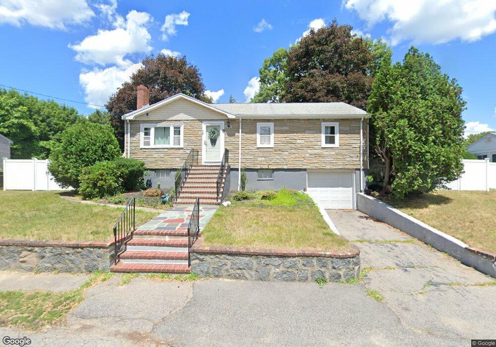
26 Eaton Rd Unit 1 Dedham, MA 02026
Riverdale NeighborhoodEstimated Value: $674,000 - $710,000
3
Beds
1
Bath
1,092
Sq Ft
$630/Sq Ft
Est. Value
About This Home
This home is located at 26 Eaton Rd Unit 1, Dedham, MA 02026 and is currently estimated at $687,635, approximately $629 per square foot. 26 Eaton Rd Unit 1 is a home located in Norfolk County with nearby schools including Riverdale Elementary School, Dedham Middle School, and Dedham High School.
Ownership History
Date
Name
Owned For
Owner Type
Purchase Details
Closed on
Mar 14, 2024
Sold by
Anderson Jennifer L
Bought by
Jennifer L Anderson Ret and Anderson
Current Estimated Value
Purchase Details
Closed on
Dec 15, 2016
Sold by
Monroe John J
Bought by
Anderson Jennifer L
Home Financials for this Owner
Home Financials are based on the most recent Mortgage that was taken out on this home.
Original Mortgage
$300,000
Interest Rate
3.54%
Mortgage Type
New Conventional
Purchase Details
Closed on
Mar 25, 1987
Sold by
Obocki Adm Eliz A
Bought by
Monroe John J
Home Financials for this Owner
Home Financials are based on the most recent Mortgage that was taken out on this home.
Original Mortgage
$110,000
Interest Rate
9.03%
Mortgage Type
Purchase Money Mortgage
Create a Home Valuation Report for This Property
The Home Valuation Report is an in-depth analysis detailing your home's value as well as a comparison with similar homes in the area
Home Values in the Area
Average Home Value in this Area
Purchase History
| Date | Buyer | Sale Price | Title Company |
|---|---|---|---|
| Jennifer L Anderson Ret | -- | None Available | |
| Jennifer L Anderson Ret | -- | None Available | |
| Anderson Jennifer L | $400,000 | -- | |
| Monroe John J | $153,662 | -- |
Source: Public Records
Mortgage History
| Date | Status | Borrower | Loan Amount |
|---|---|---|---|
| Previous Owner | Anderson Jennifer L | $300,000 | |
| Previous Owner | Monroe John J | $110,000 |
Source: Public Records
Tax History Compared to Growth
Tax History
| Year | Tax Paid | Tax Assessment Tax Assessment Total Assessment is a certain percentage of the fair market value that is determined by local assessors to be the total taxable value of land and additions on the property. | Land | Improvement |
|---|---|---|---|---|
| 2025 | $7,413 | $587,400 | $366,700 | $220,700 |
| 2024 | $7,056 | $564,500 | $337,600 | $226,900 |
| 2023 | $6,736 | $524,600 | $313,300 | $211,300 |
| 2022 | $6,291 | $471,200 | $286,600 | $184,600 |
| 2021 | $6,261 | $458,000 | $286,600 | $171,400 |
| 2020 | $6,027 | $439,300 | $274,500 | $164,800 |
| 2019 | $5,852 | $413,600 | $249,200 | $164,400 |
| 2018 | $5,500 | $378,000 | $225,500 | $152,500 |
| 2017 | $5,445 | $368,900 | $216,400 | $152,500 |
| 2016 | $5,375 | $347,000 | $192,300 | $154,700 |
| 2015 | $5,326 | $335,600 | $187,900 | $147,700 |
| 2014 | $5,158 | $320,800 | $187,900 | $132,900 |
Source: Public Records
Map
Nearby Homes
- 297 Pine St
- 86 Massachusetts Ave
- 108 Needham St
- 342 Needham St
- 15 Kiely Rd
- 55 Dixon Ave
- 31 Arcadia Ave
- 67 Pine St
- 65 Pine St
- 1515 Vfw Pkwy Unit M19
- 41 Arlington Rd
- 80 Caledonian Ave
- 43 Eastwood Circuit
- 47 Corbett Ave
- 51 Ledge Hill Rd
- 196 Gardner St Unit 196
- 34 Salman St
- 80 Joyce Kilmer Rd
- 104 Salman St
- 91 Glenellen Rd